Oi, tudo bem?
This is the Brazilian saying for Hi, is everything OK?
In 1997-1998 we traveled 4 months and 23,000 km's on our suzuki's through this amazing continent. We crossed the Amazone rainforest, eat piranha's, sensed the mystics of the Inca's and finally reached the "End of the World".
Let us share some memorial moments with you.

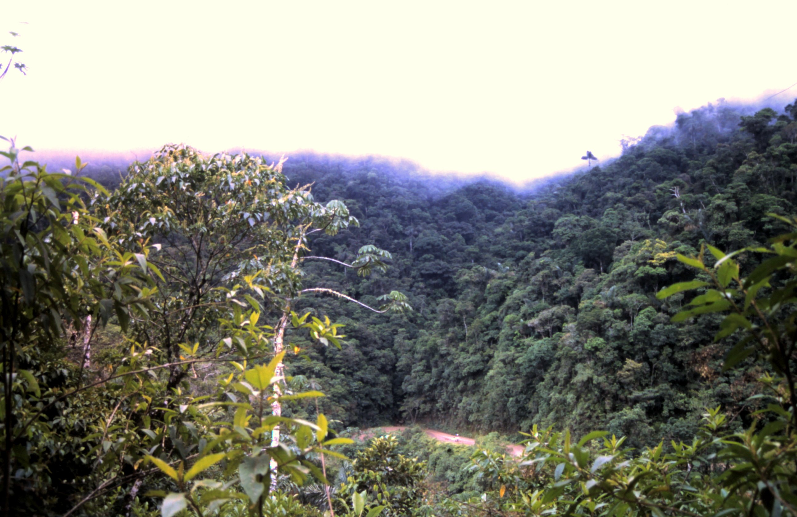
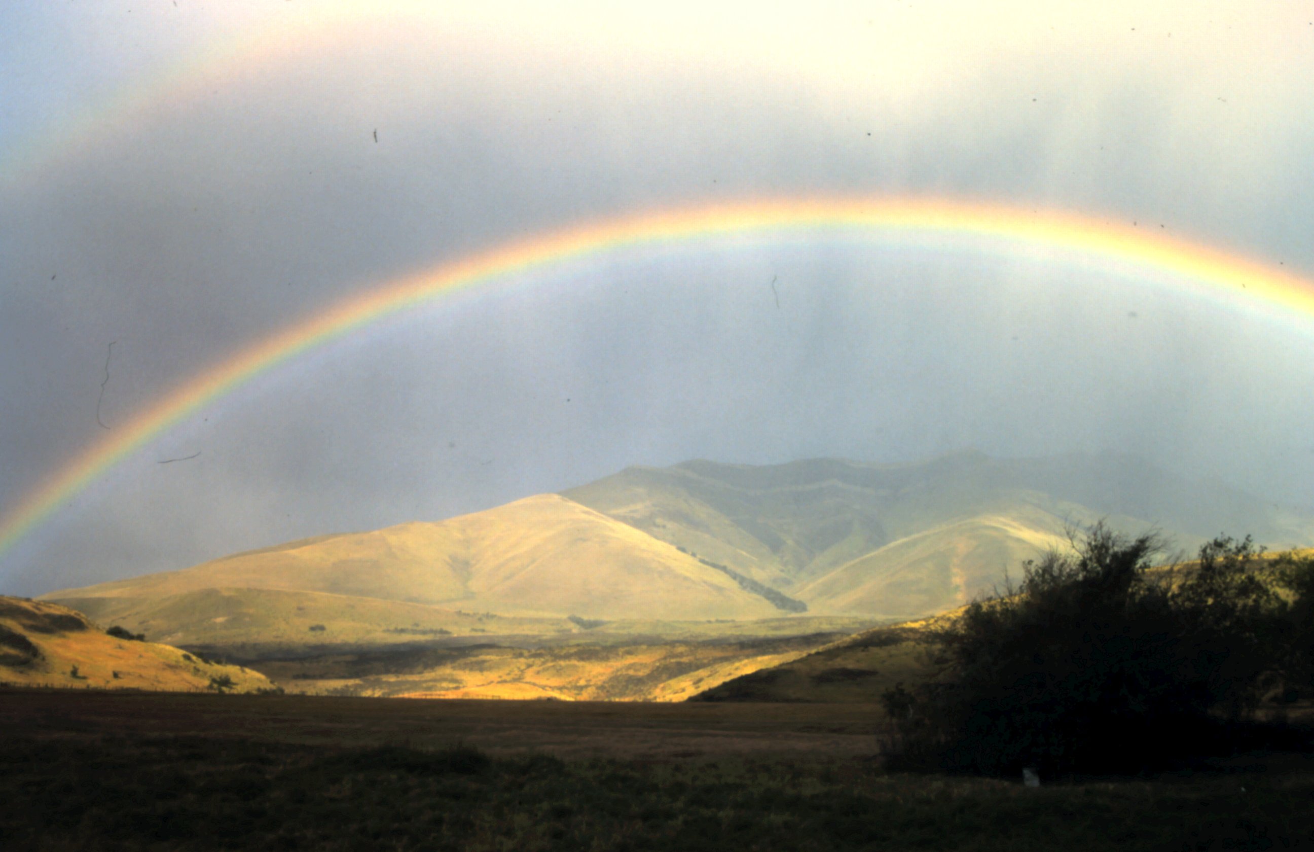
Amazone.
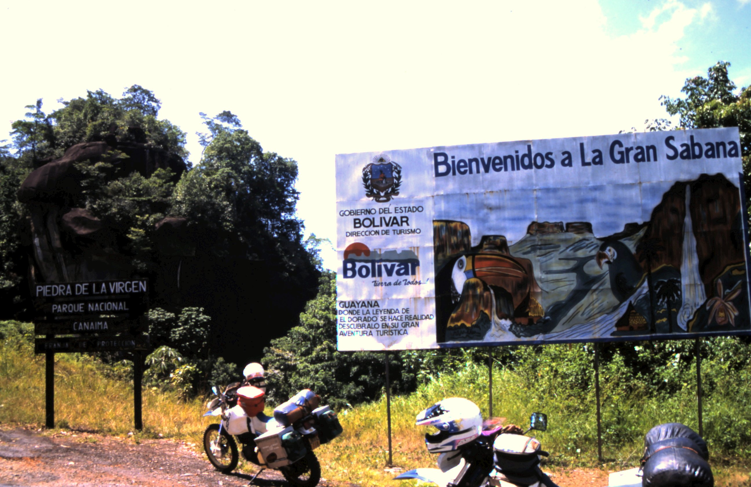
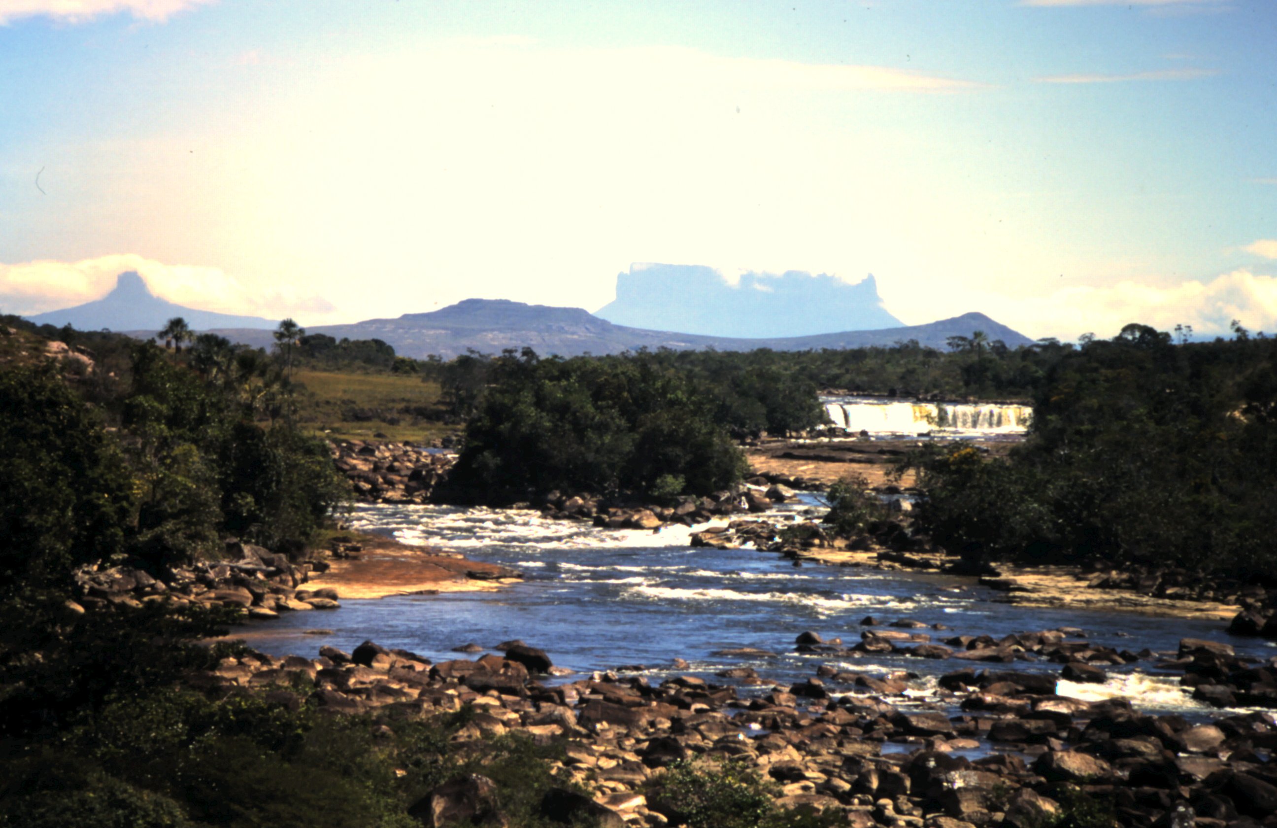
It takes us 2 days to get our bikes from the customs in Caracas, Venezuela. Quickly we leave this vibrant city and go south to the Gran Sabana. Far ahead we see the huge table mountains appearing in the clouds. The panorama is fantastic. A dusty dirtroad goes to the border city Santa Elena de Uairen with Brazil. Customs is easy and we enter the Amazone rainforest. Since high school it is Udo's dream to see the Amazone. At school I learned about the rapid deforestation and I want to see it before it's too late.
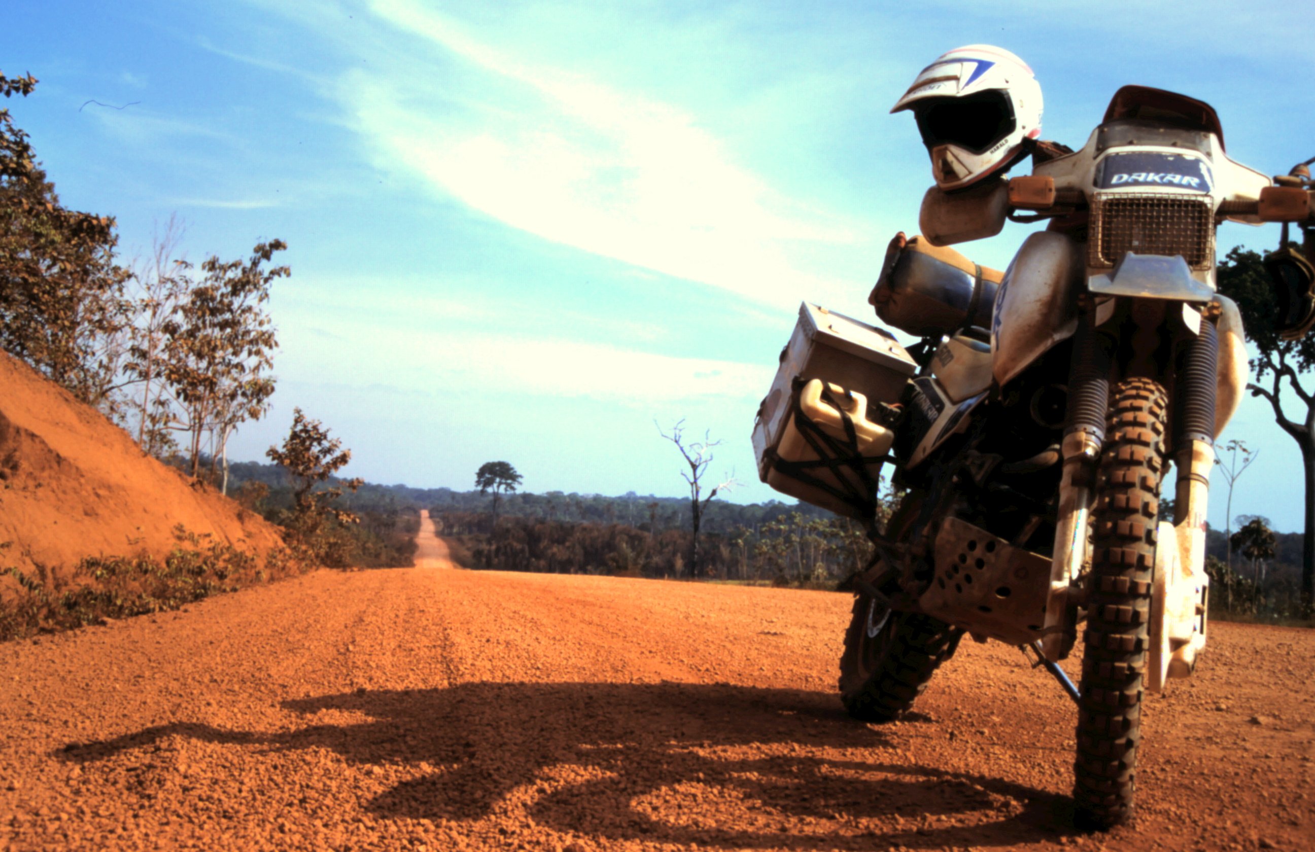
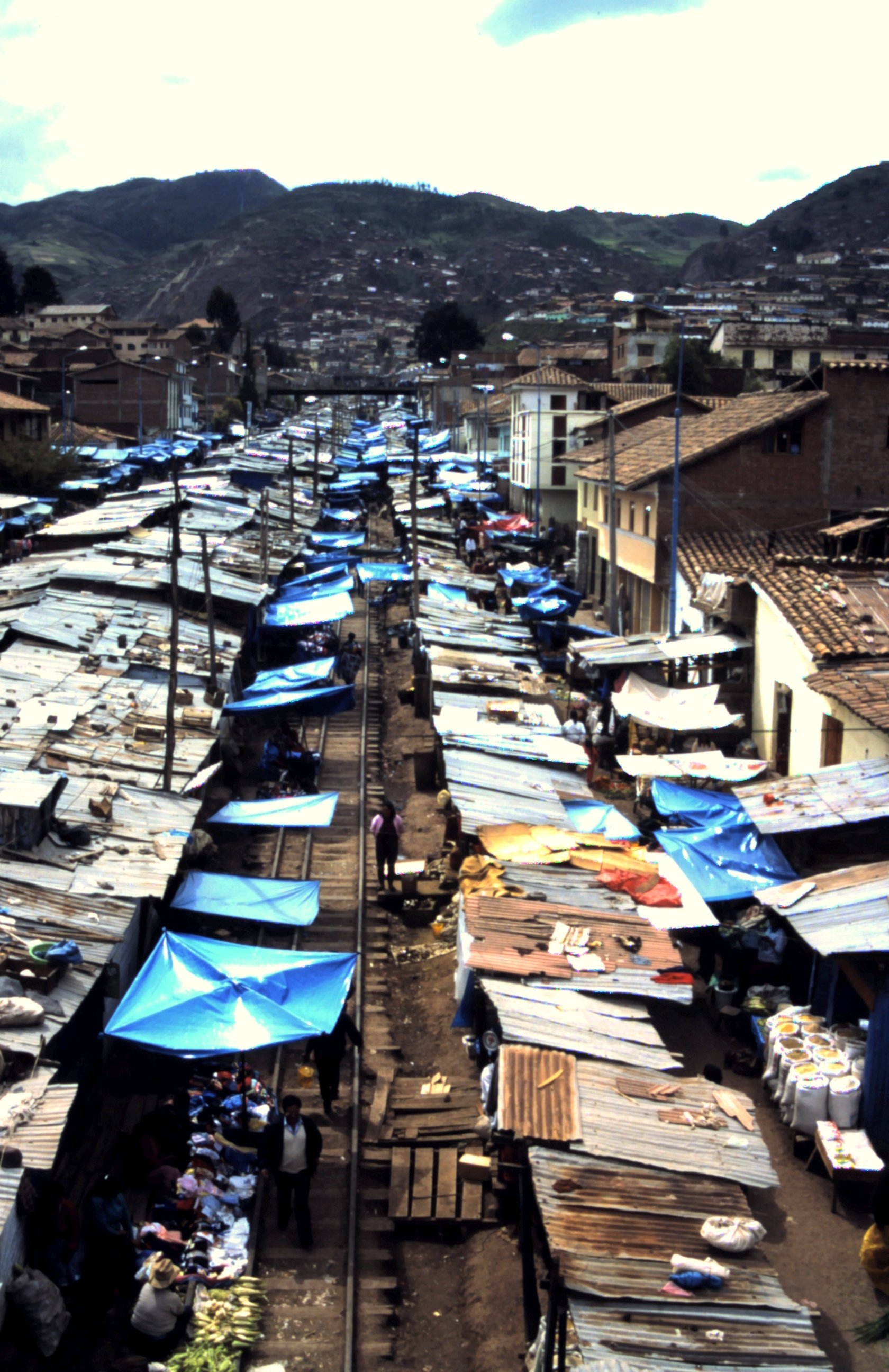
When we inform about the road conditions of the BR 319 at the ministry of traffic in Manaus they say the road is very much decayed and it is very dangerous. The friendly gentleman in a nice suit warns us for Jaguars that will eat us and 20 meter long Anacondas... So we buy food for a few days, fill up our water jerrycans, fuel up and kick on our Suzi's.
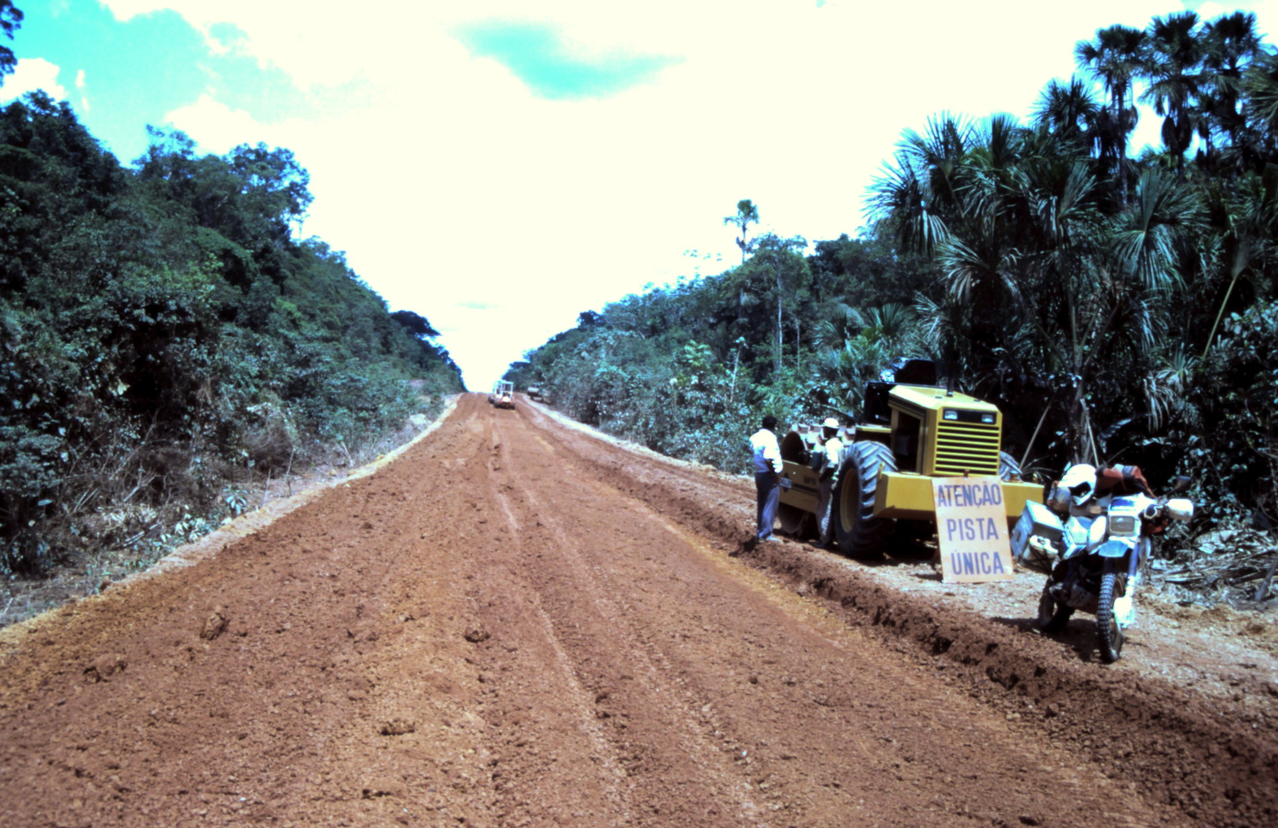
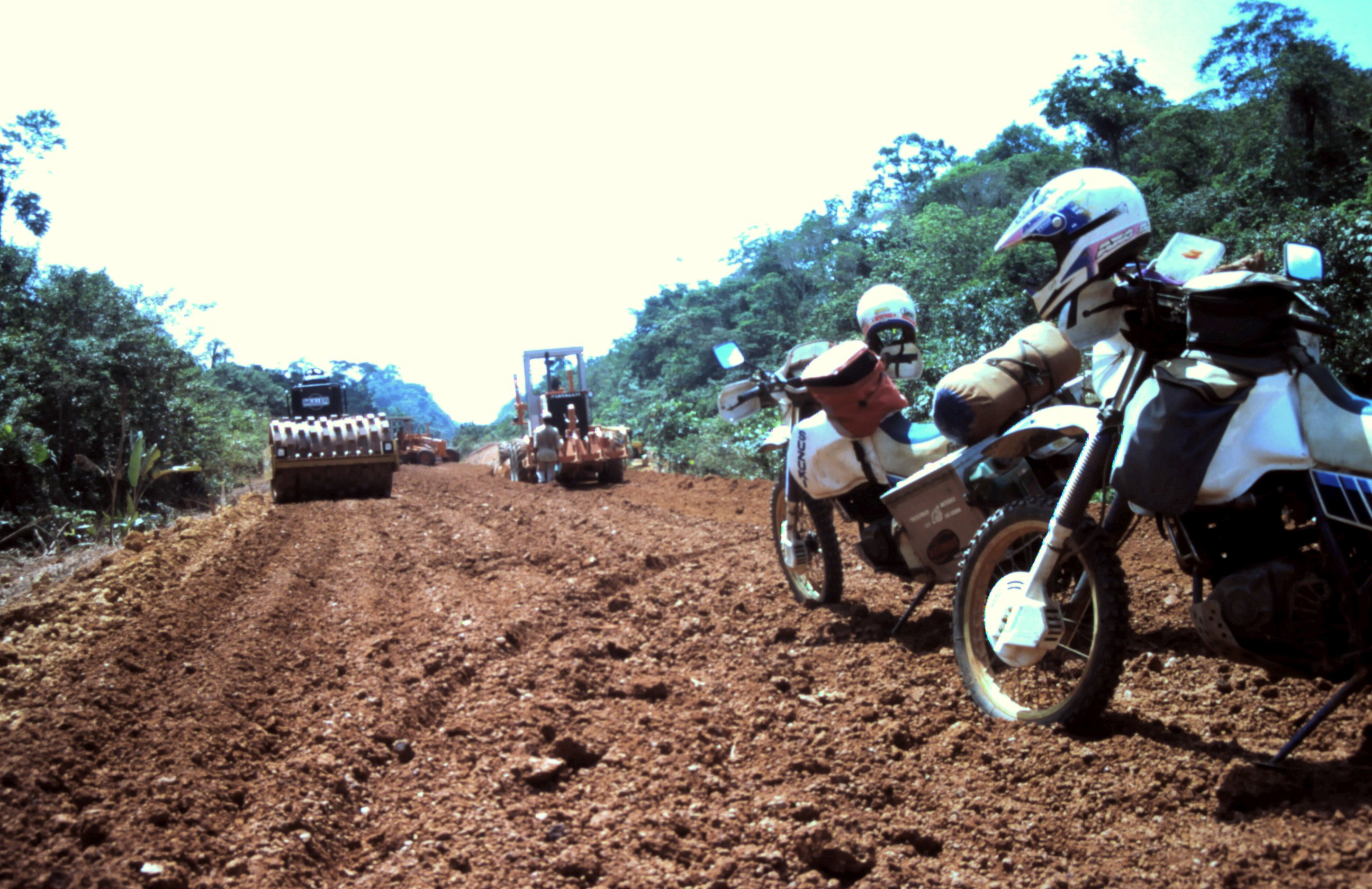
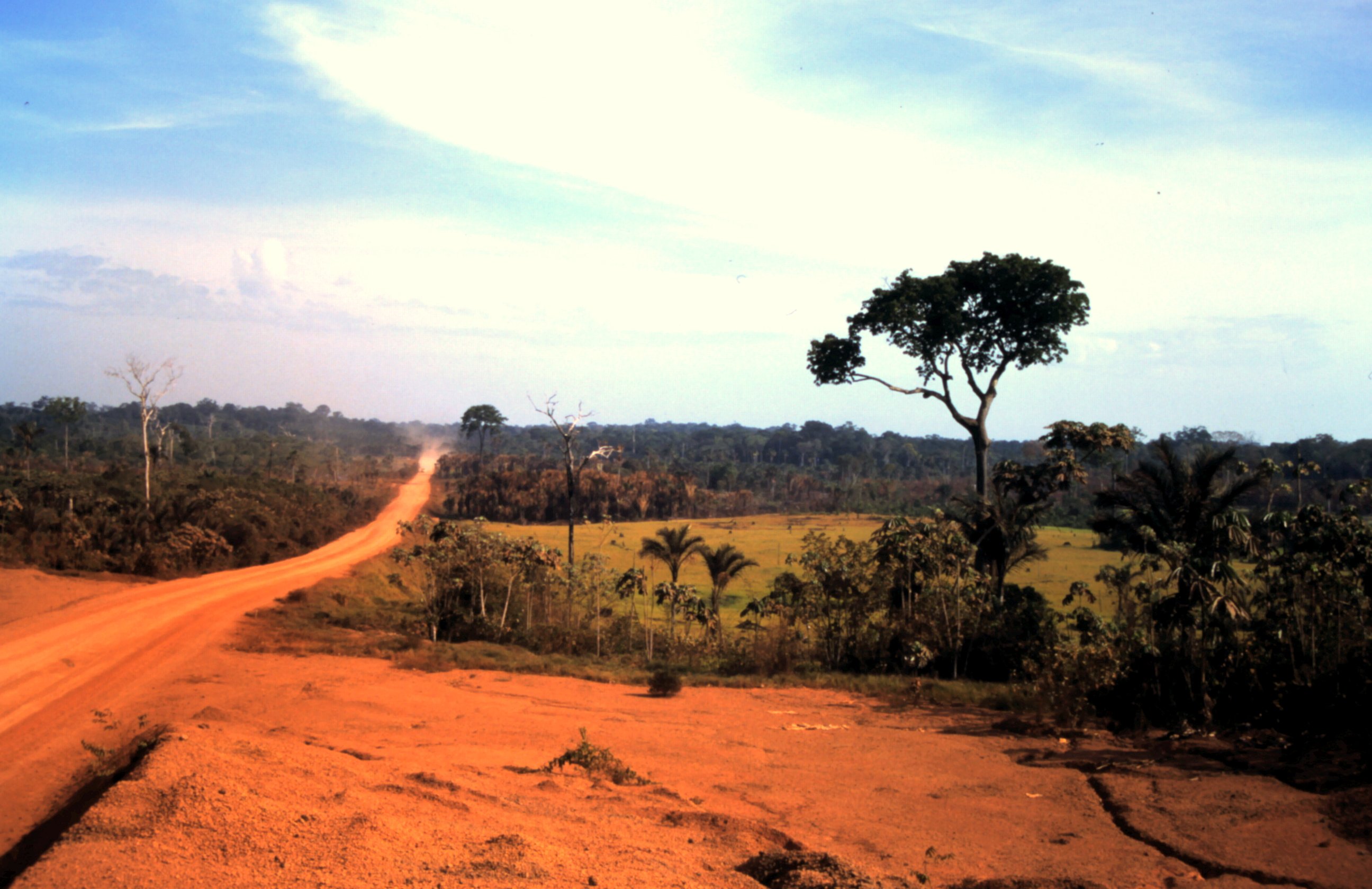
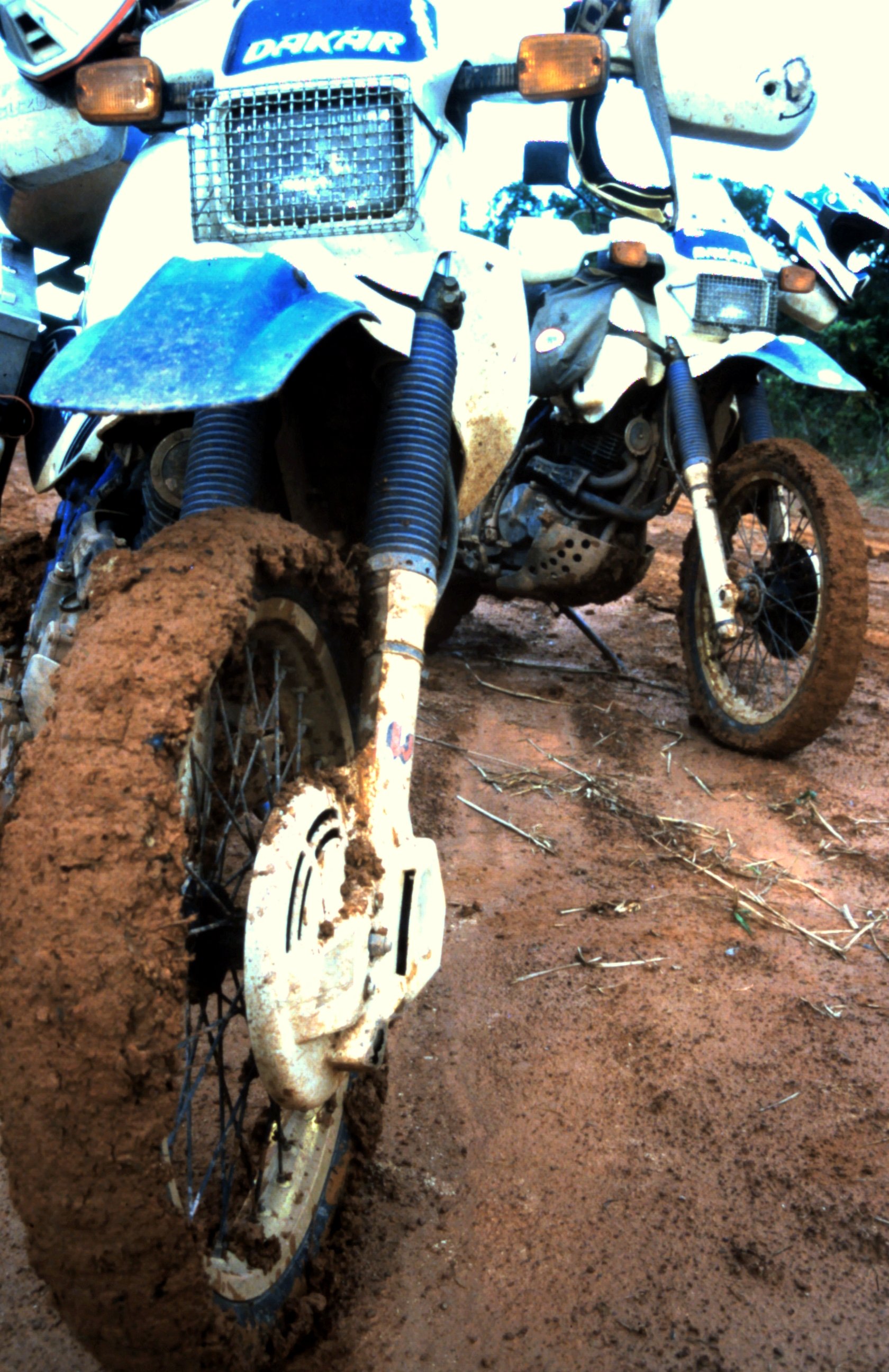
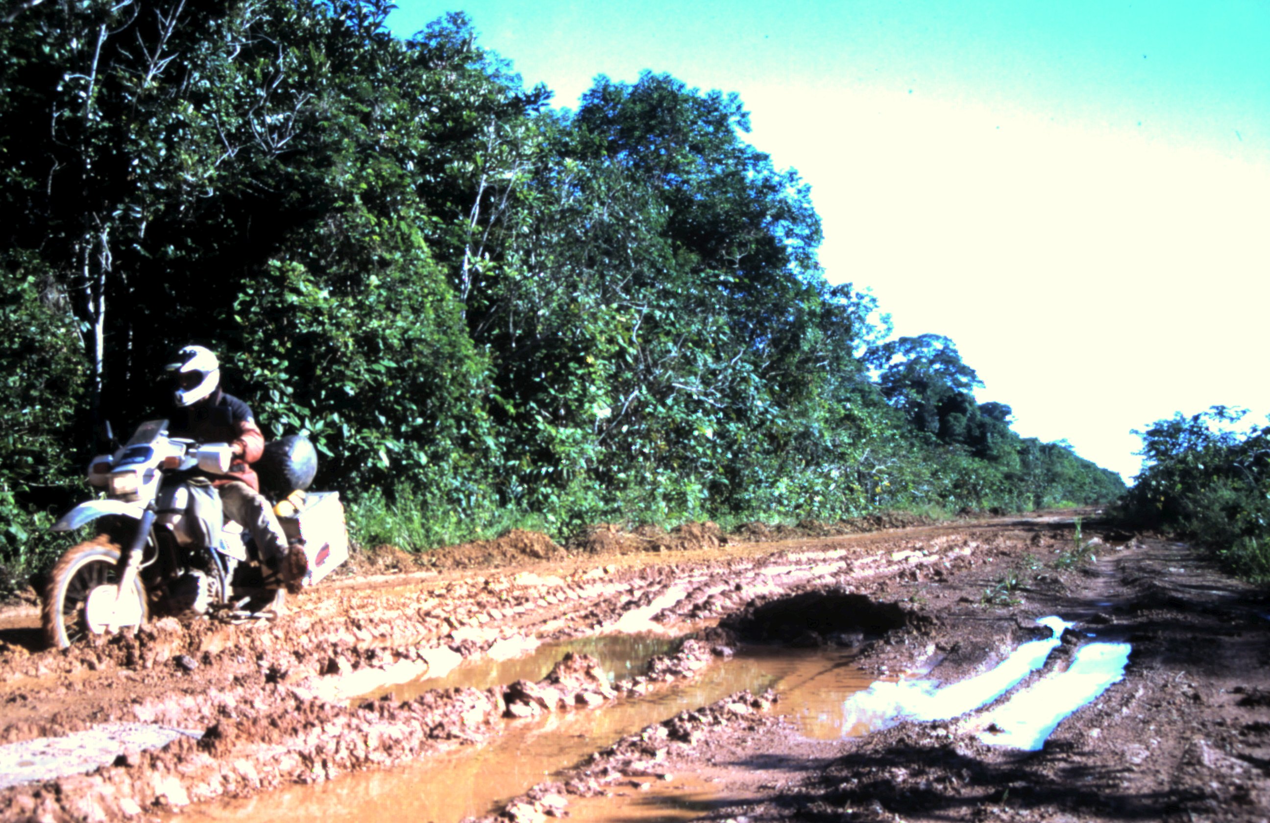
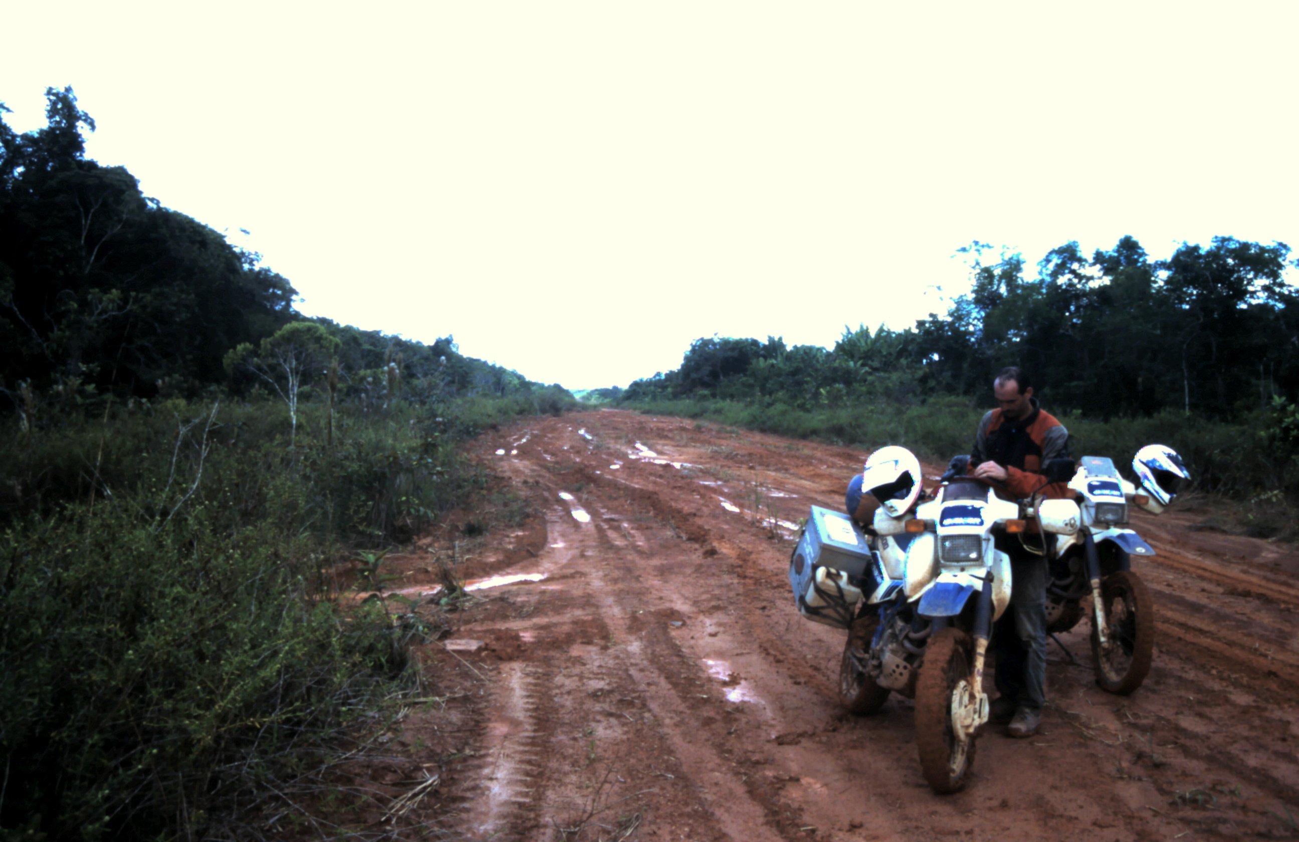
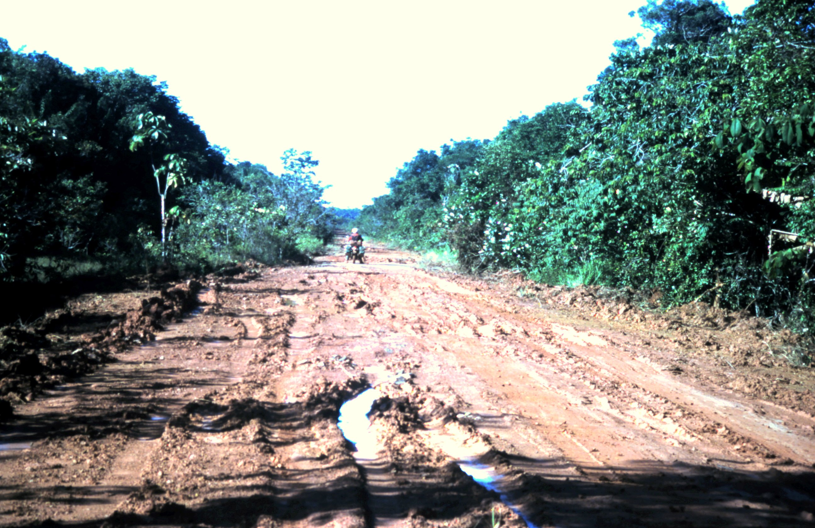
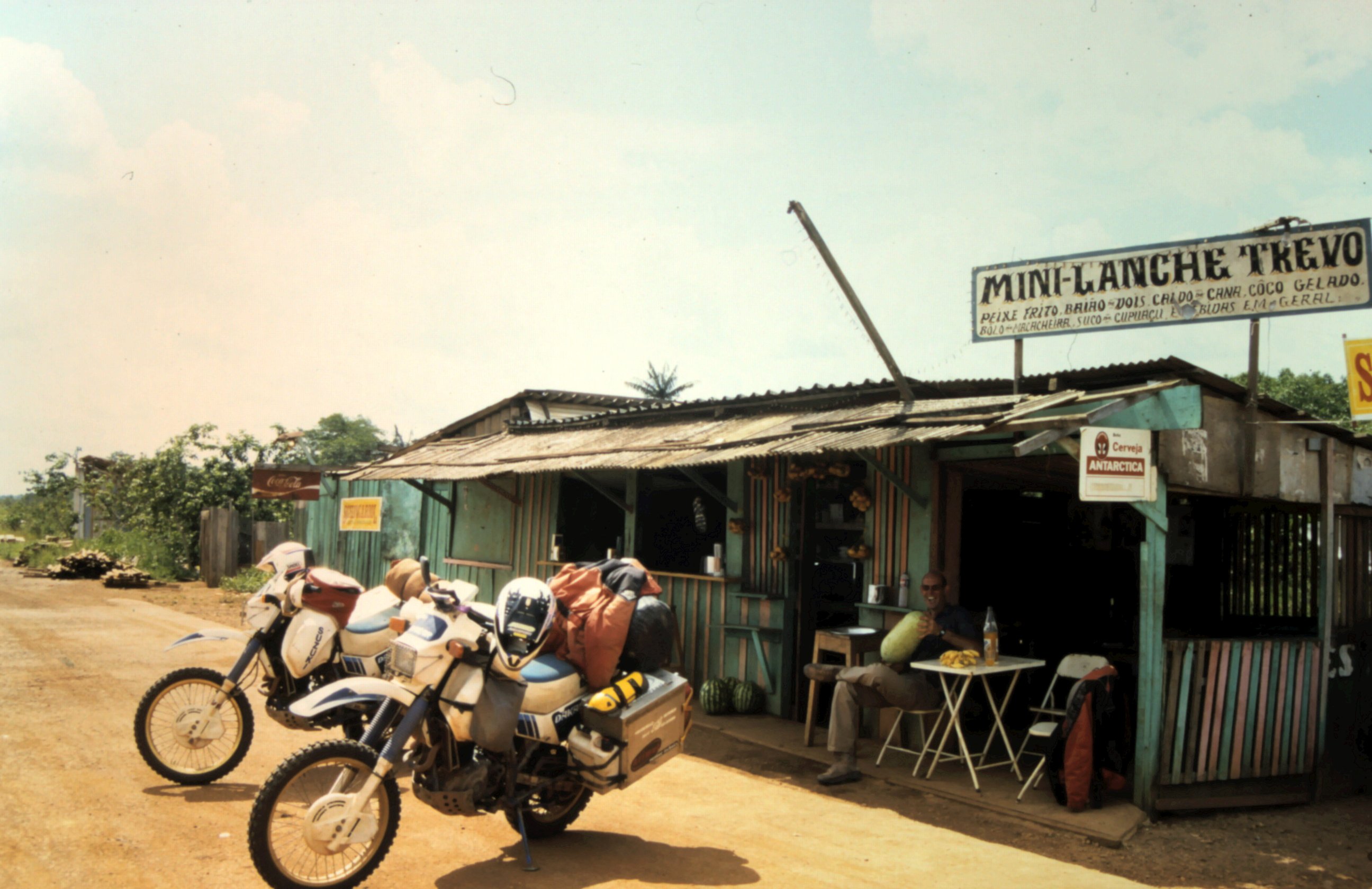
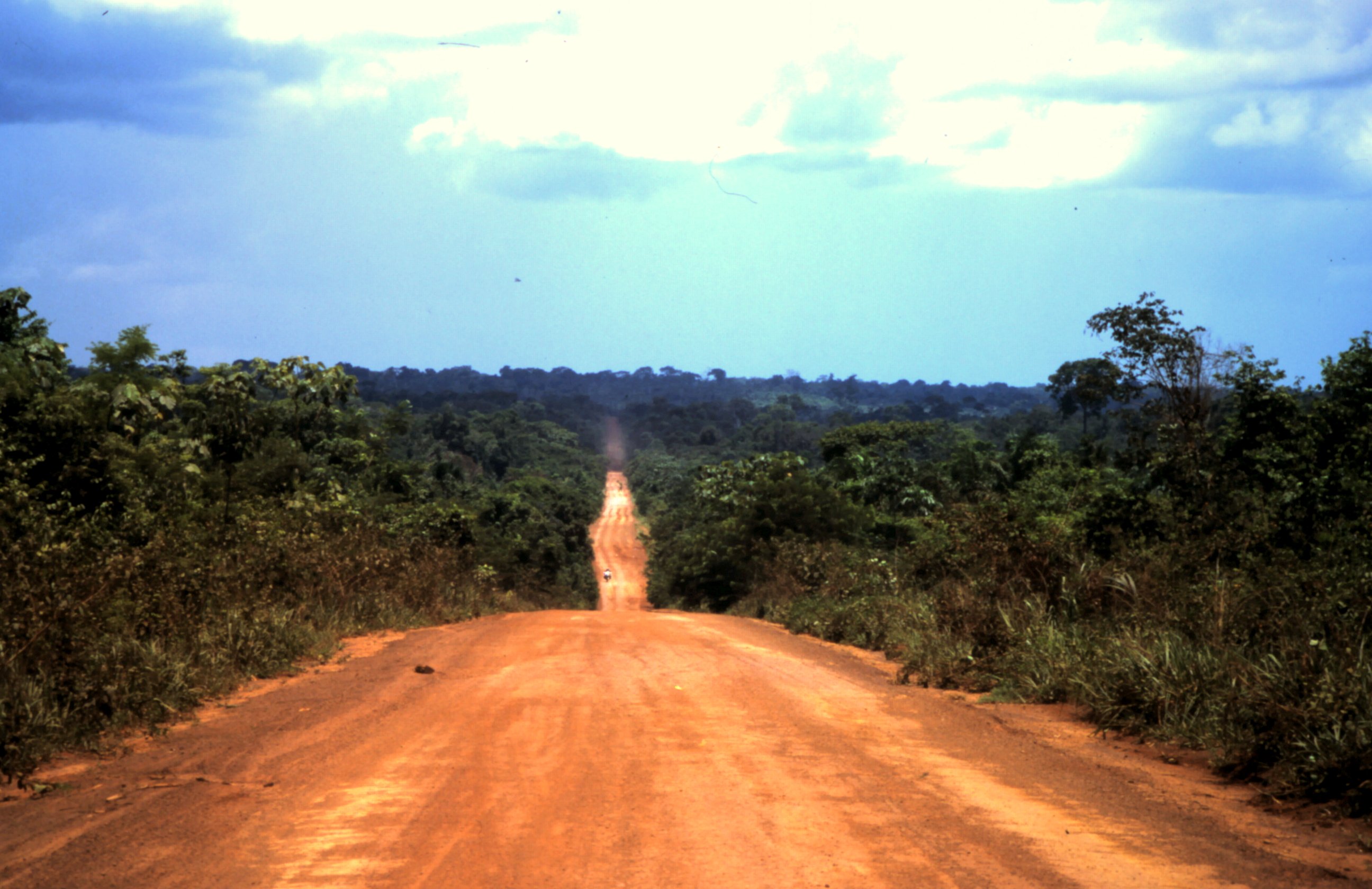
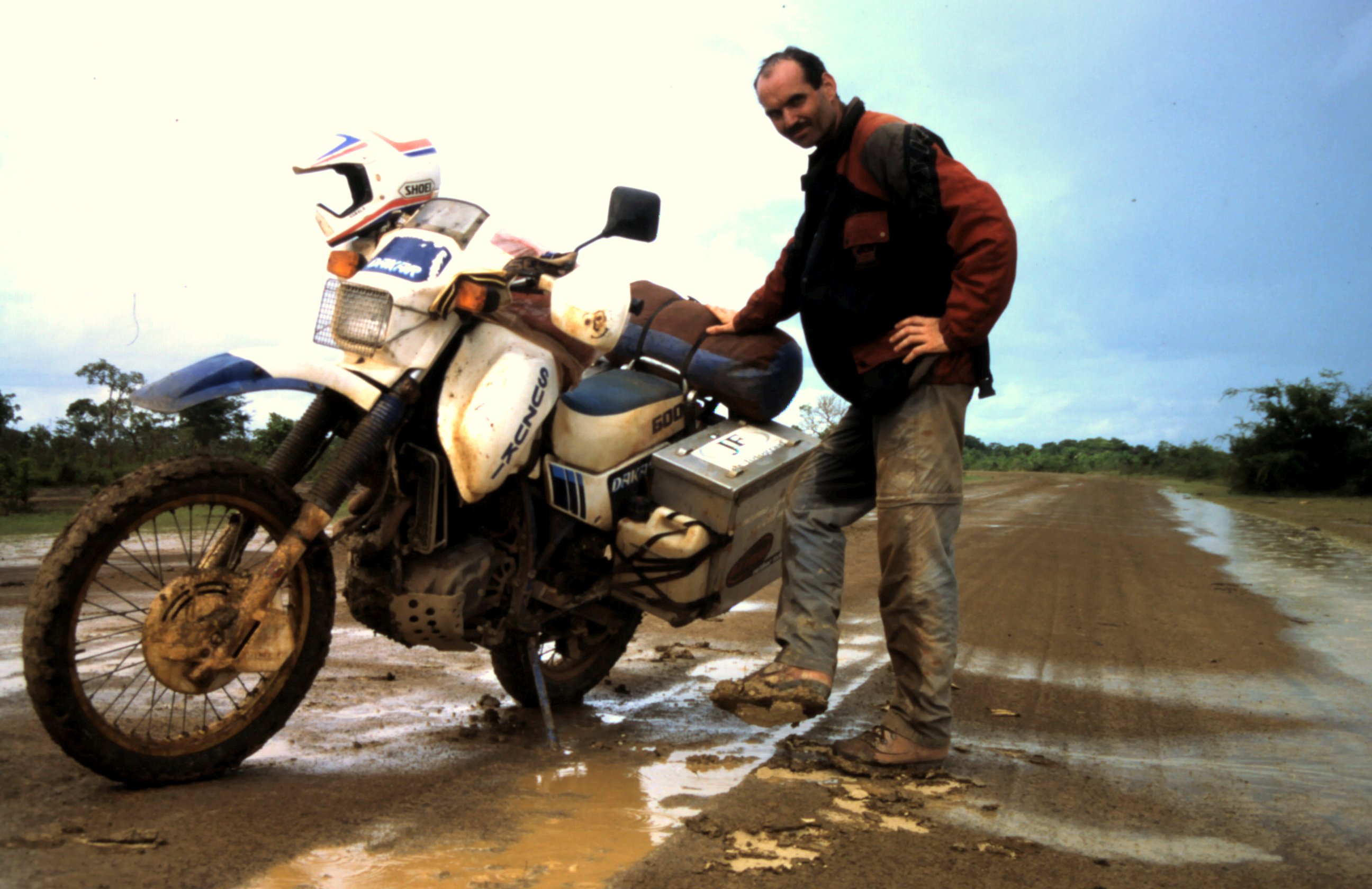
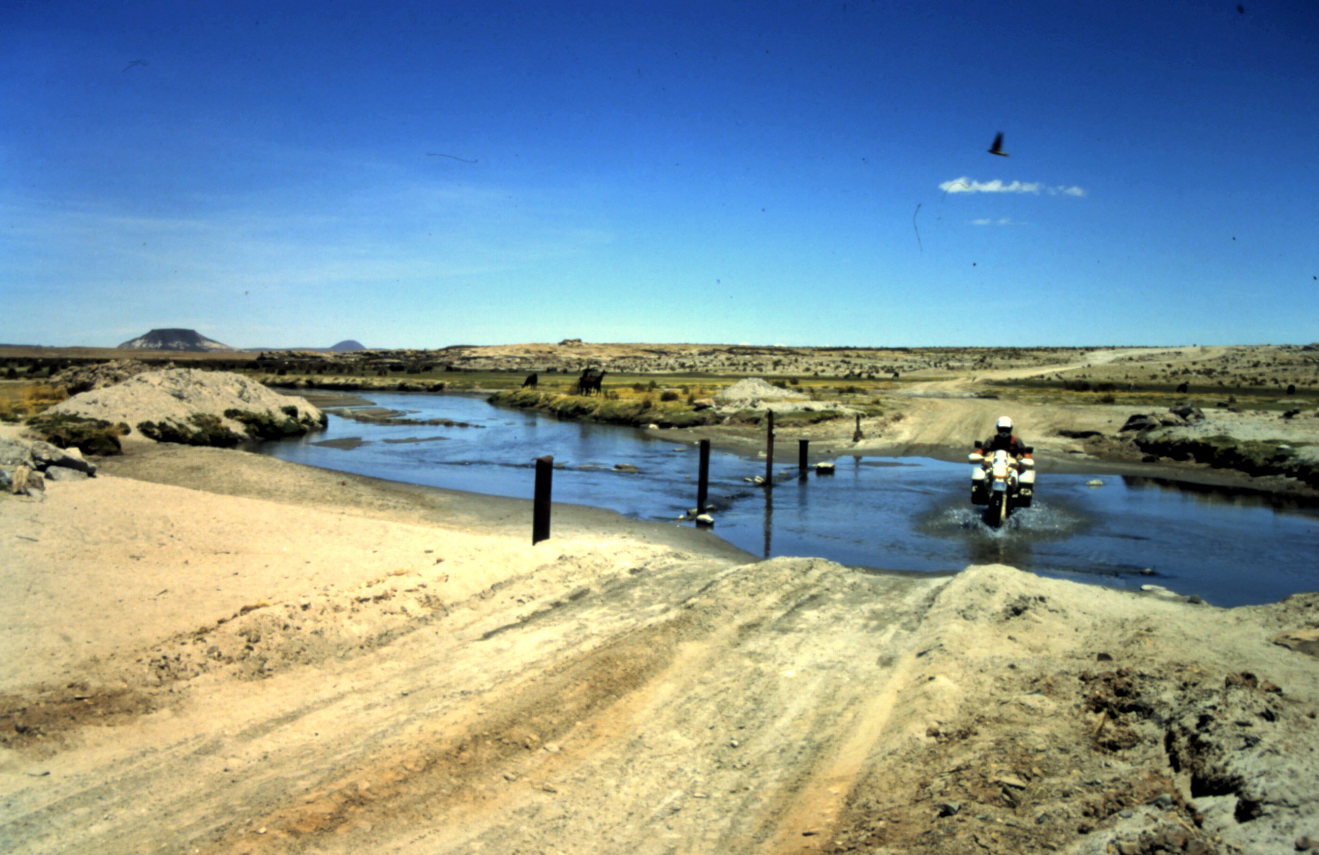
The BR319 goes from Manaus to Porto Velho, 868 km straight through the Amazone. It's like they cut out an 10 meter wide track with bulldozers. After 100 km we reach Careiro and this is the last place to get some fuel. The next 600 kilometers are no supplies. Only rainforest... Dark clouds pack together in the sky and 10 minutes later the rain pores down in the Amazone jungle. Thats why they call it "rainforest", isn't...? The red clay of the road change in thick oozing mud. It becomes very slippery and it sticks to our tires. The tires look as twice as big and we loose all grip. We slide from one side of the road to the other side. We have big problems to stay on the bike. It is so hard to ride that our maximum speed is 10 km/hr....
After a hard day riding we pitch out tent at the side of the road. It is hot and humid and while we make some spaghetti we are attacked by dozens of little flies. They crawl into your ears and nose and the buzzing sound makes us crazy. We eat our spaghetti walking, trying to avoid eating flies that want to sit on your spoon. Why did we have to go through this green hell?
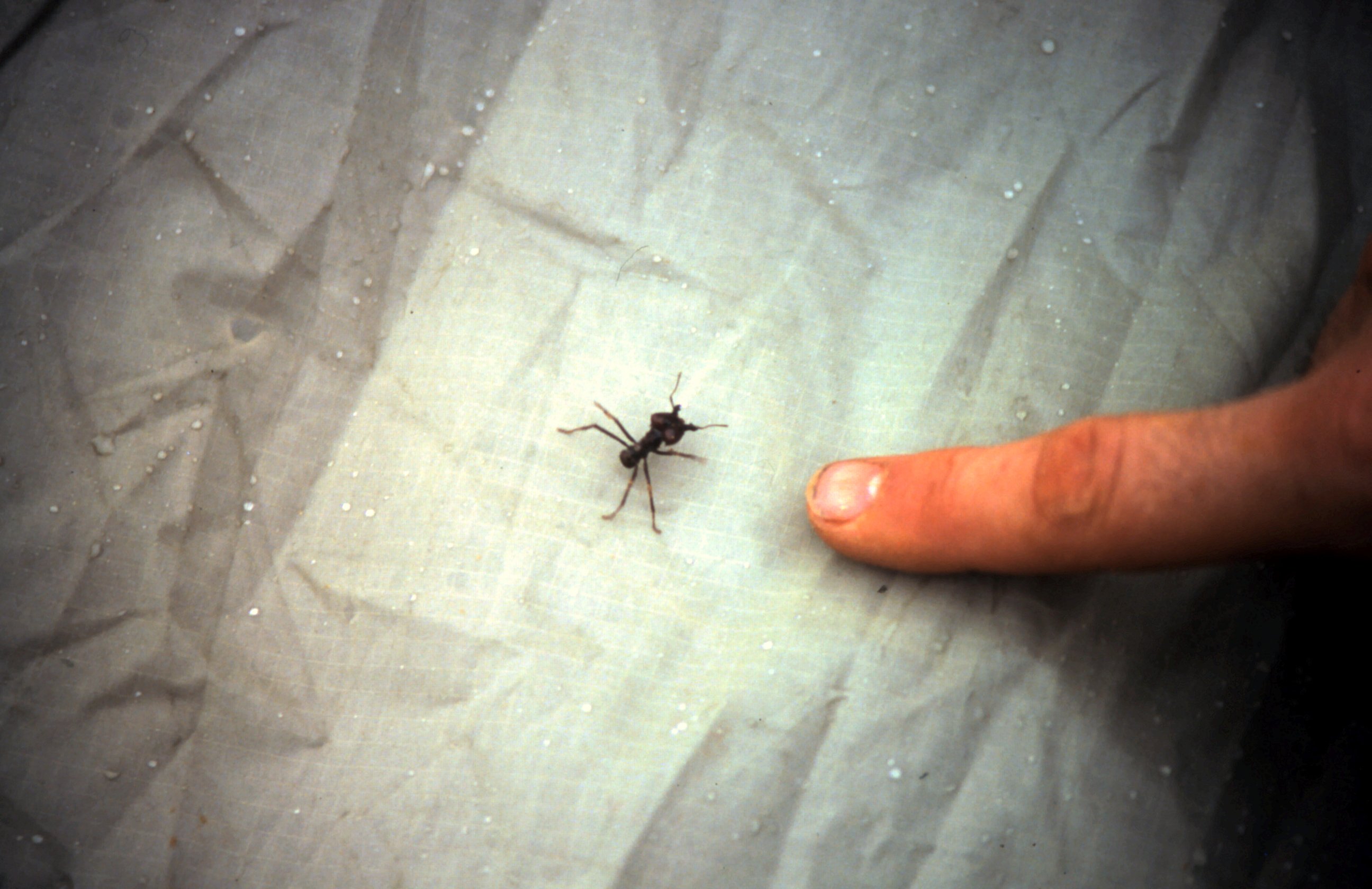
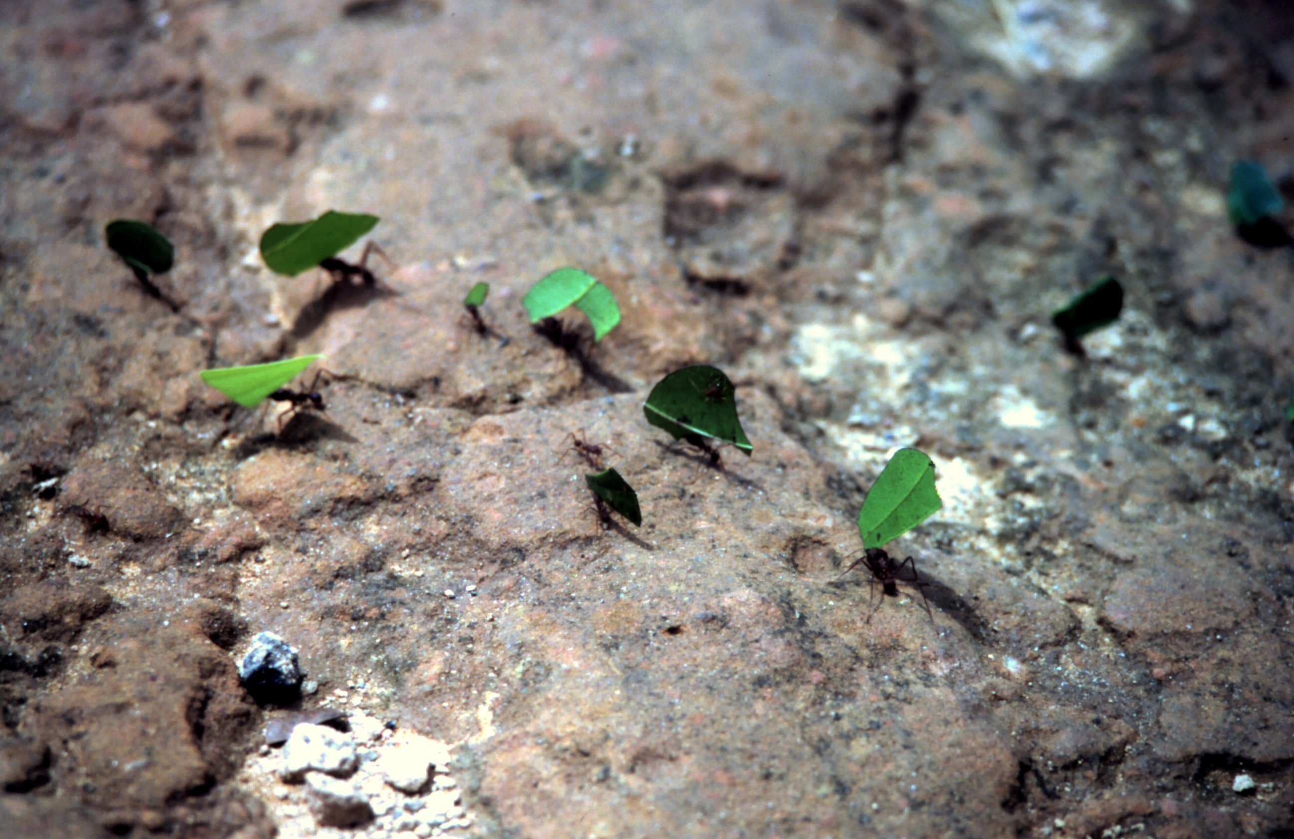
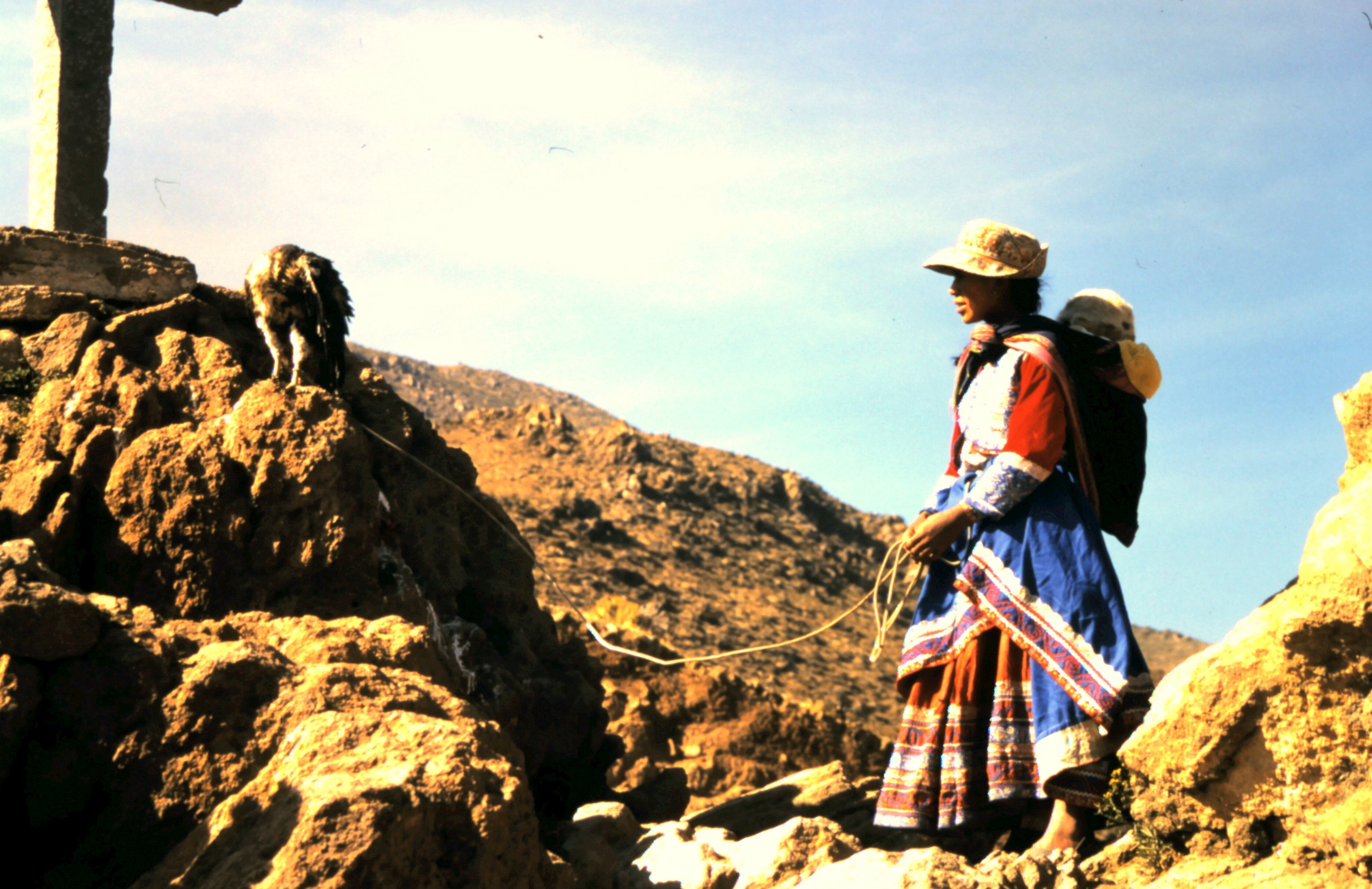
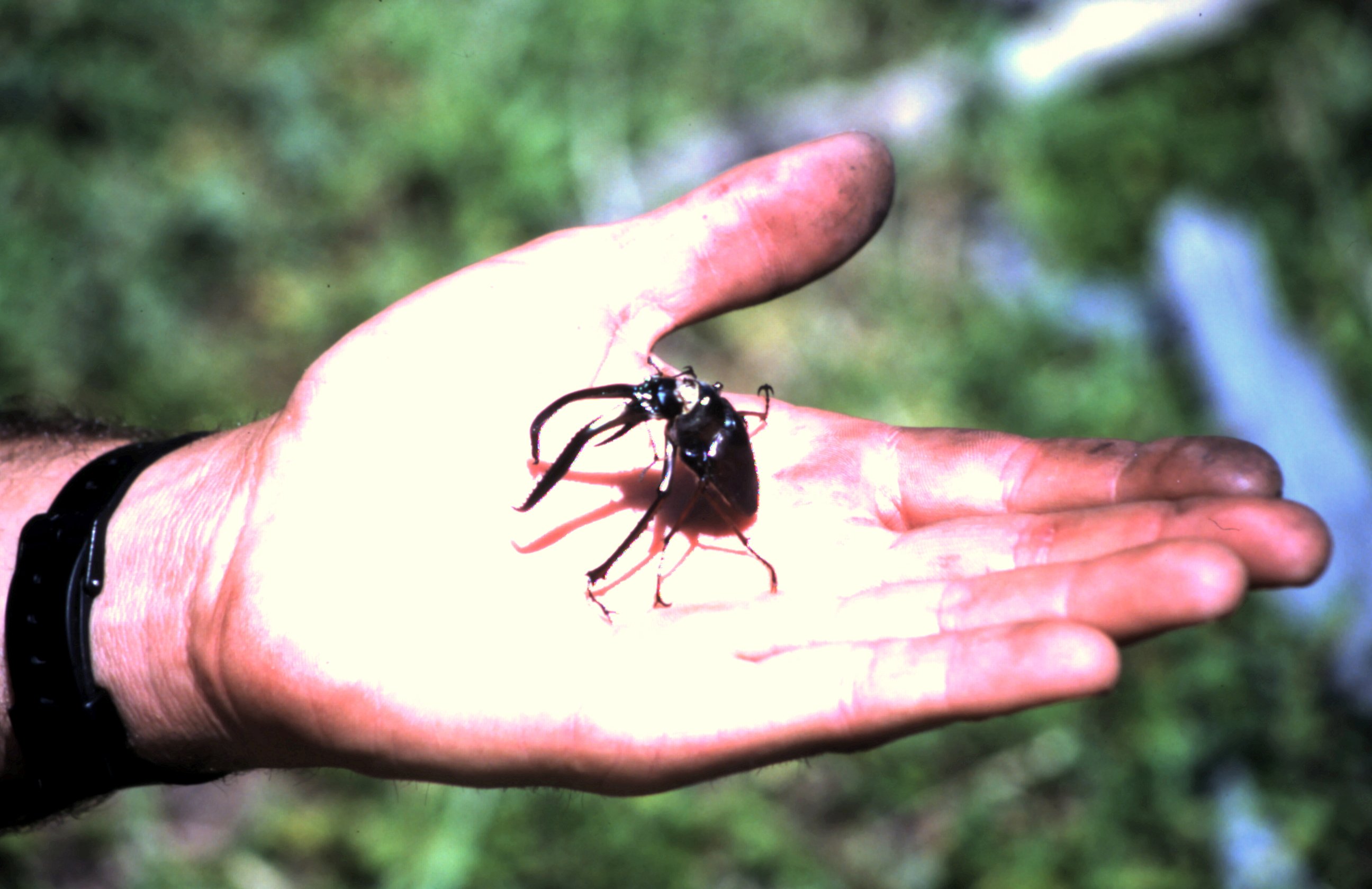
I fall asleep with the sound of the jungle night. In the middle of the night Harald hear some strange, scratching noises under the tent. He ignores it. When he gets up in the morning he sees that his shoe string is cut through. When he takes his shoes, he screams, AAAAHHHHH ! The leather shaft of his walking boots are cut open. A lot of little circles a cut out. He had new shoes....And I see that my waterproof bag has a hole of 10 cm in diameter. There is also a little hole in our tent. Then we see who has done this. Some ants are wandering around out tent. Well a lot. Ants of 2 cm long with big jaws. Jaws as sharp as razer blades that cut through thick leather like it is paper. These ants are known as Stitching Ants. The Indians in the Amazone use them if they have cut themself. They catch some ants, let them bite over the wound and tear off the body. The jaws remain as stitches....


Piranha soup.
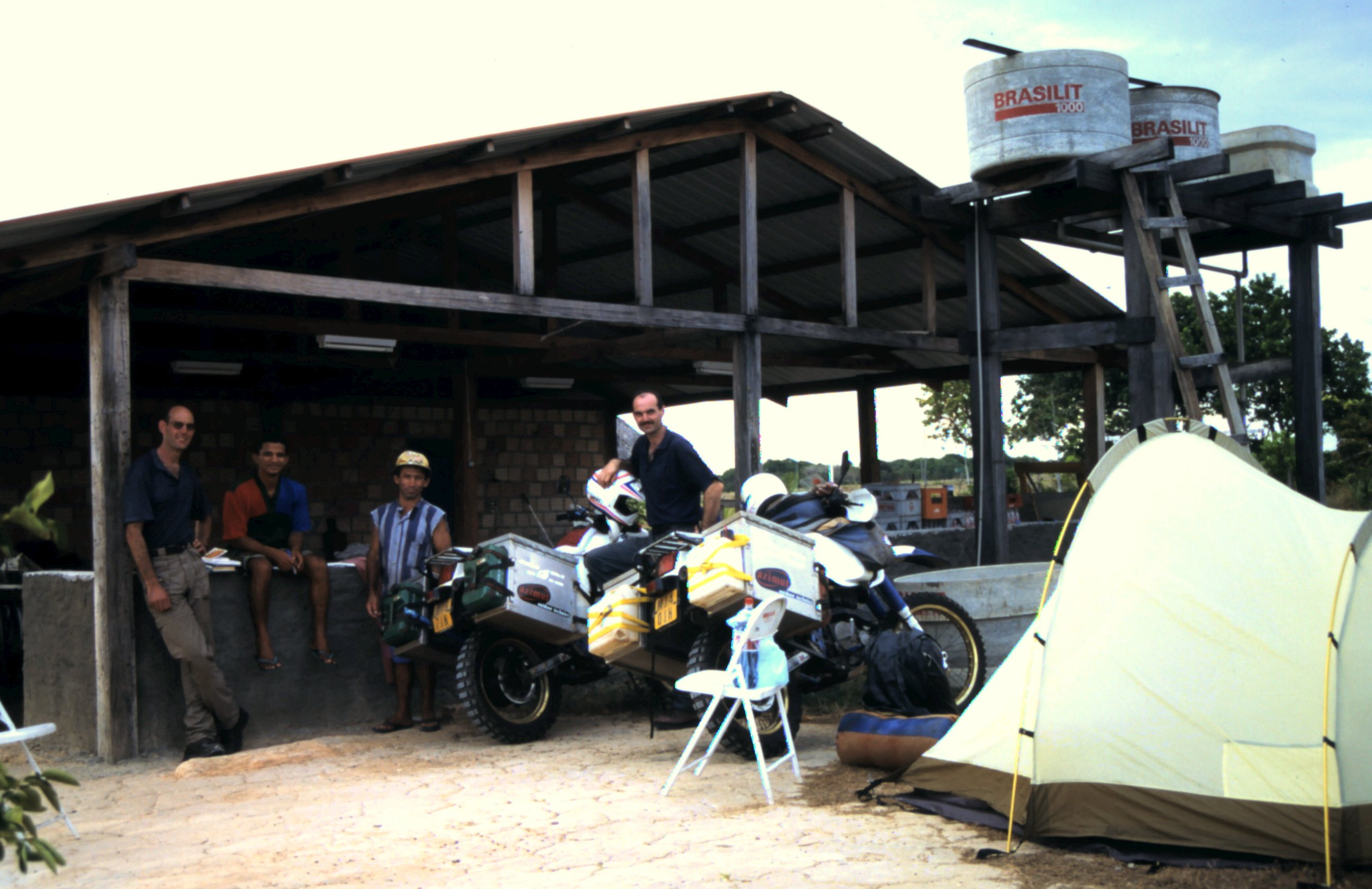
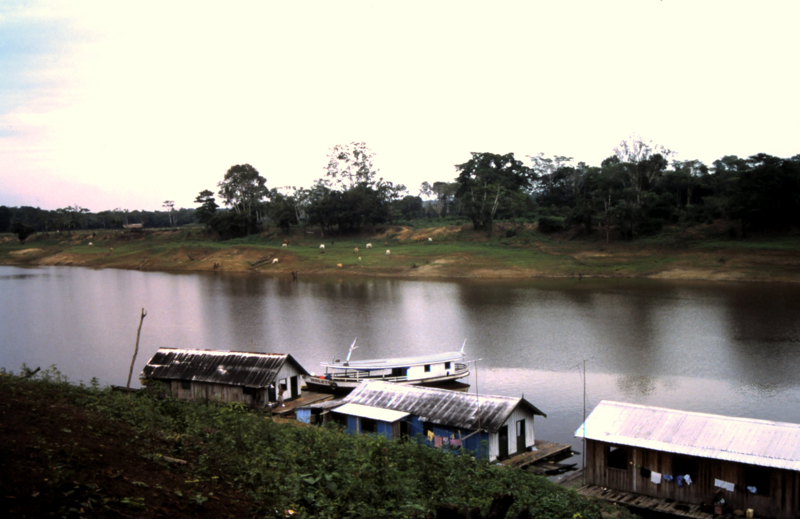
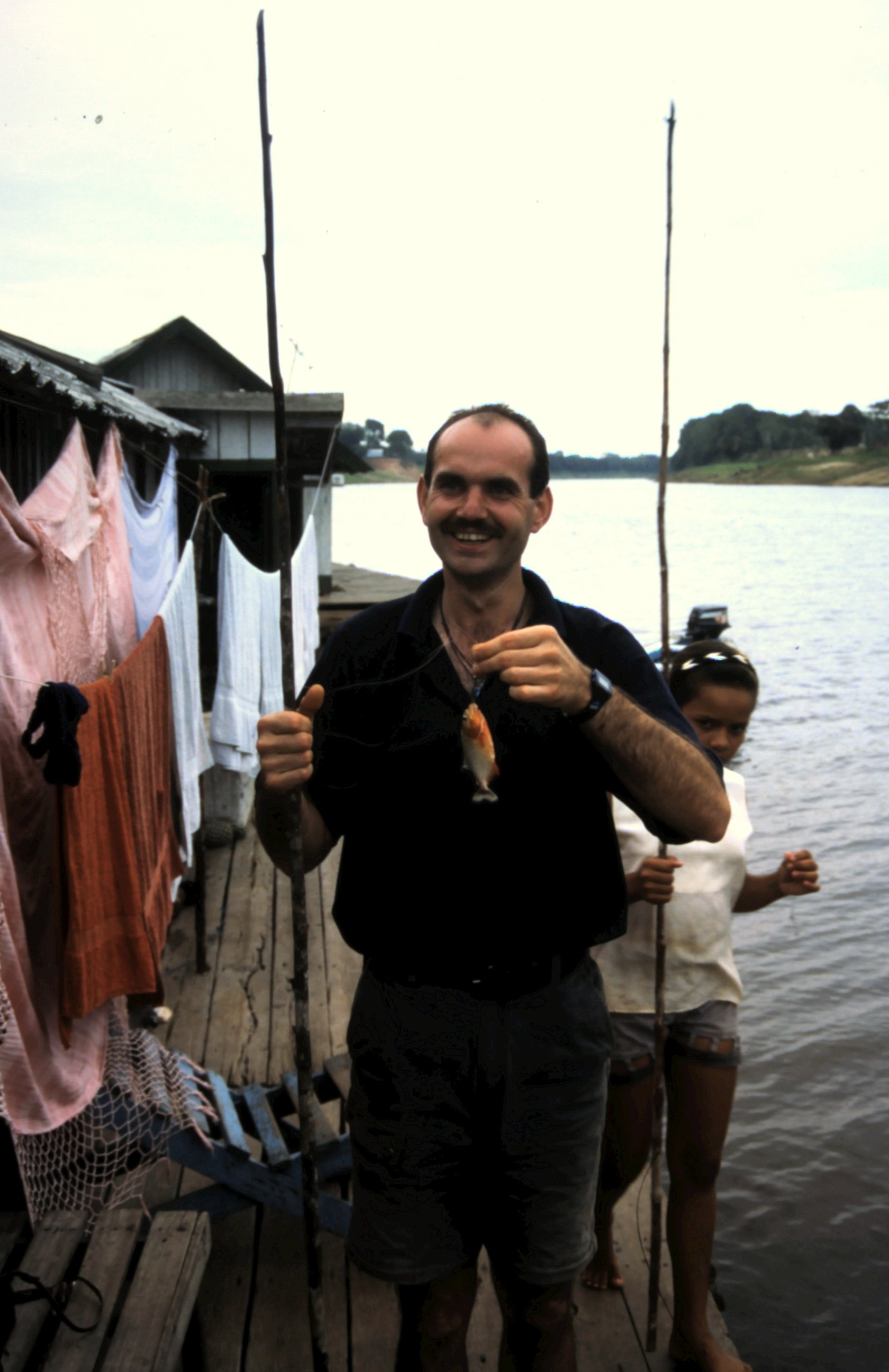
Jerry, our guide we met in Manaus, takes us to his family who lives in floating houses in the Amazone. After 4 hours by car over a very rough road and 5 hours by boat over a meandering river we arrive at his family. These Indians live what the Amazone rainforest brings them and they are willing to share some of their knowledge with us. Jerry makes contact to the "outsight world" and organizes eco tours through the jungle.
We are invited to the floating house on the river. We get a welcome drink, Pingha, and we are introduced to his family. He lives here with his wife and 2 kids. In the boat next his brother lives with his family. We get a place to sleep in the guest houses on the shore. Hammocks are put up for guests and musquito nets are available.
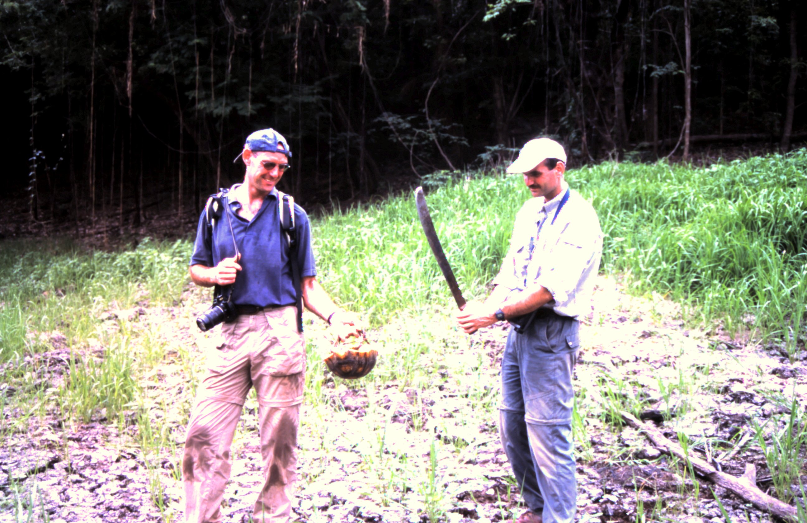
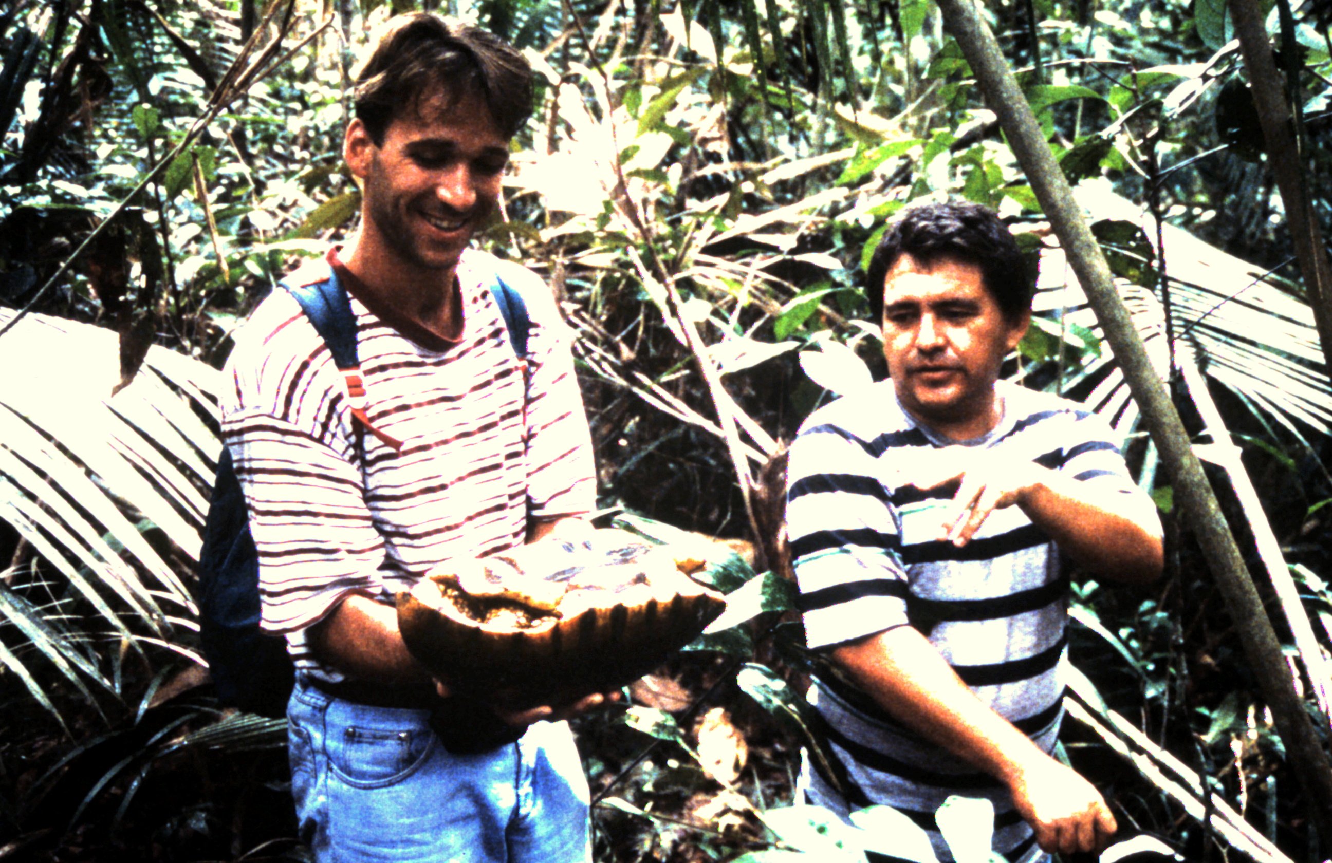
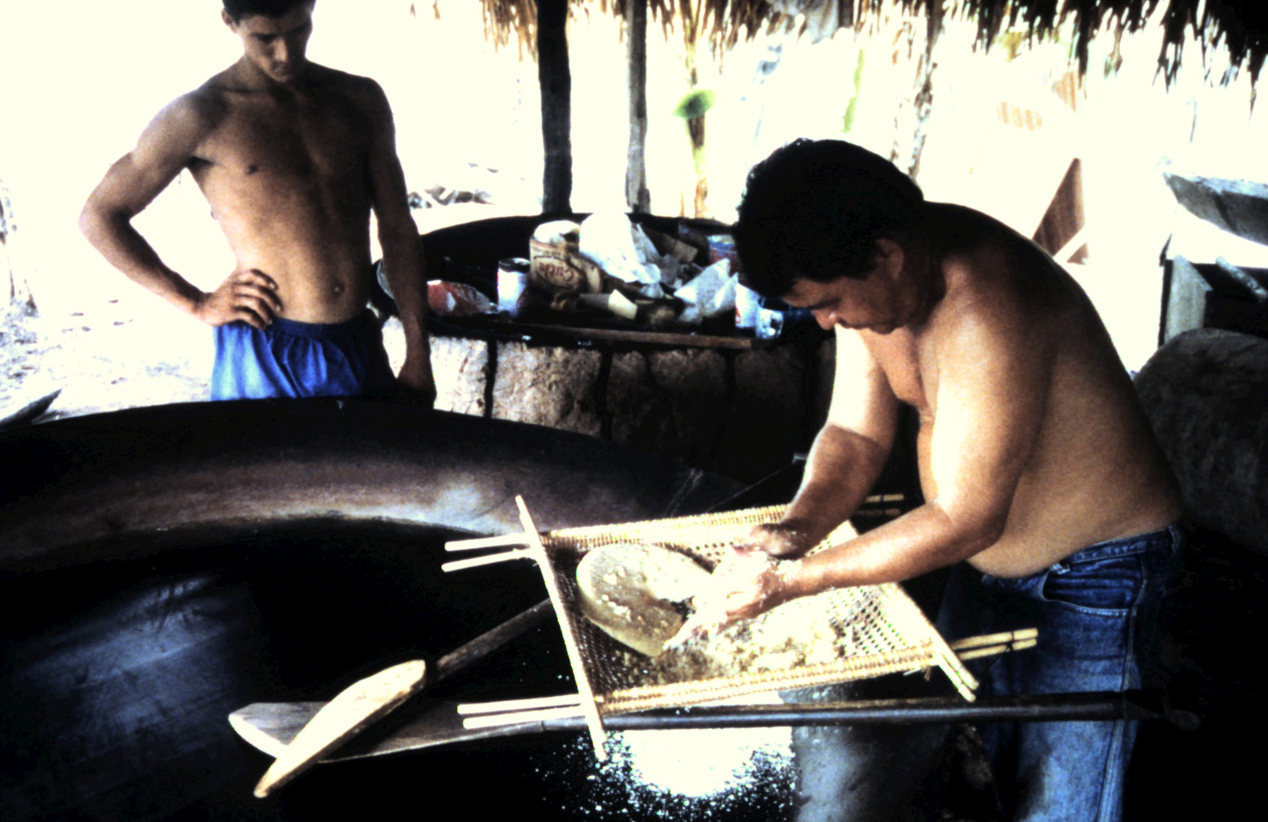
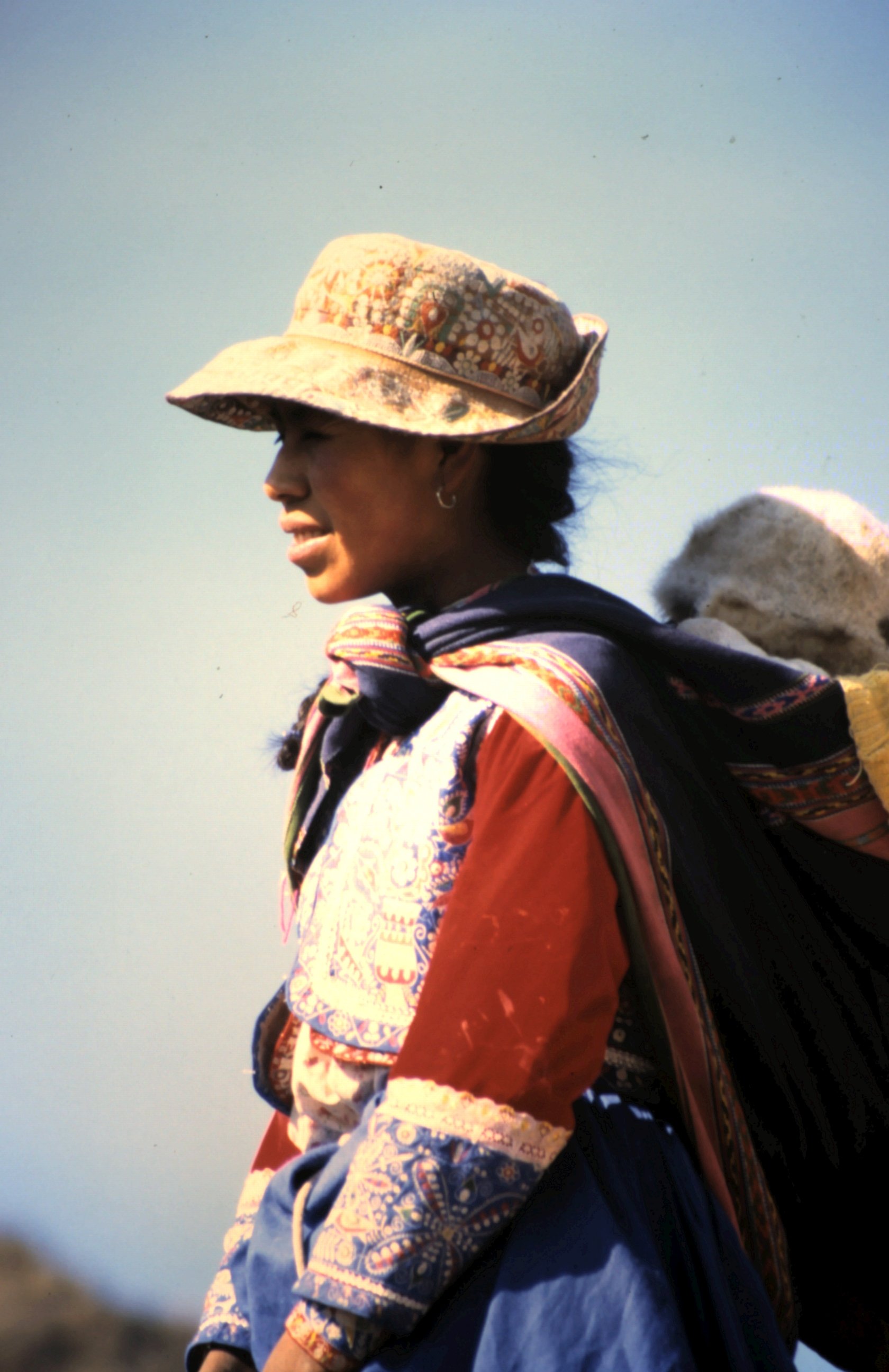
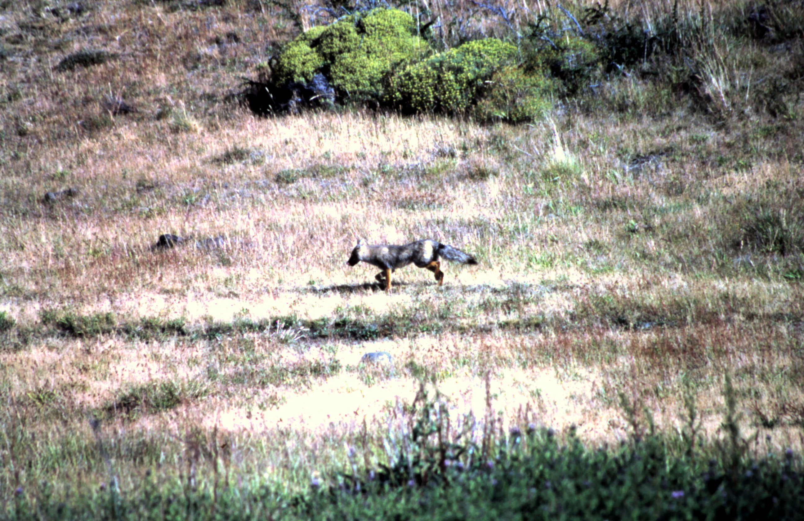
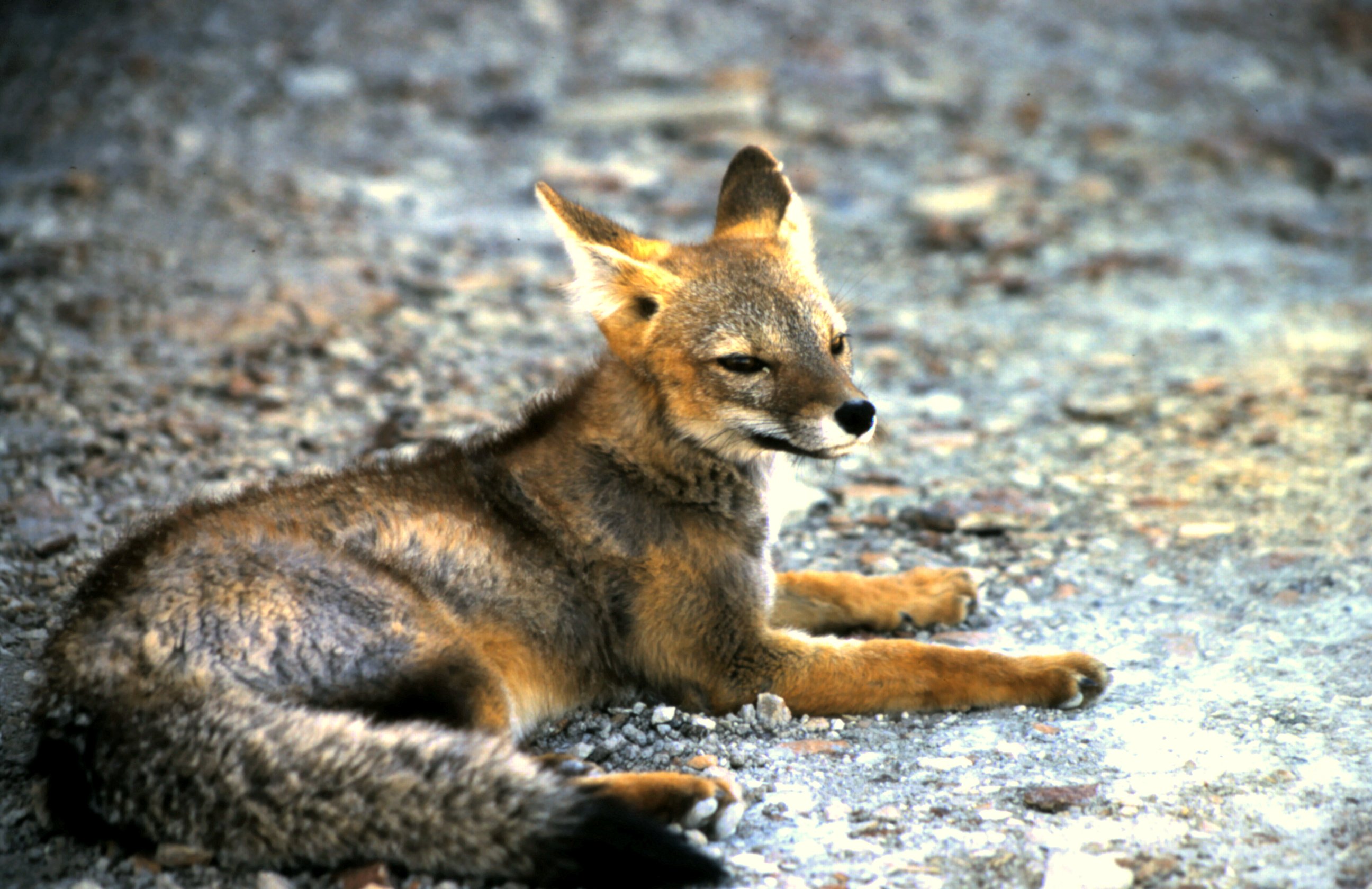
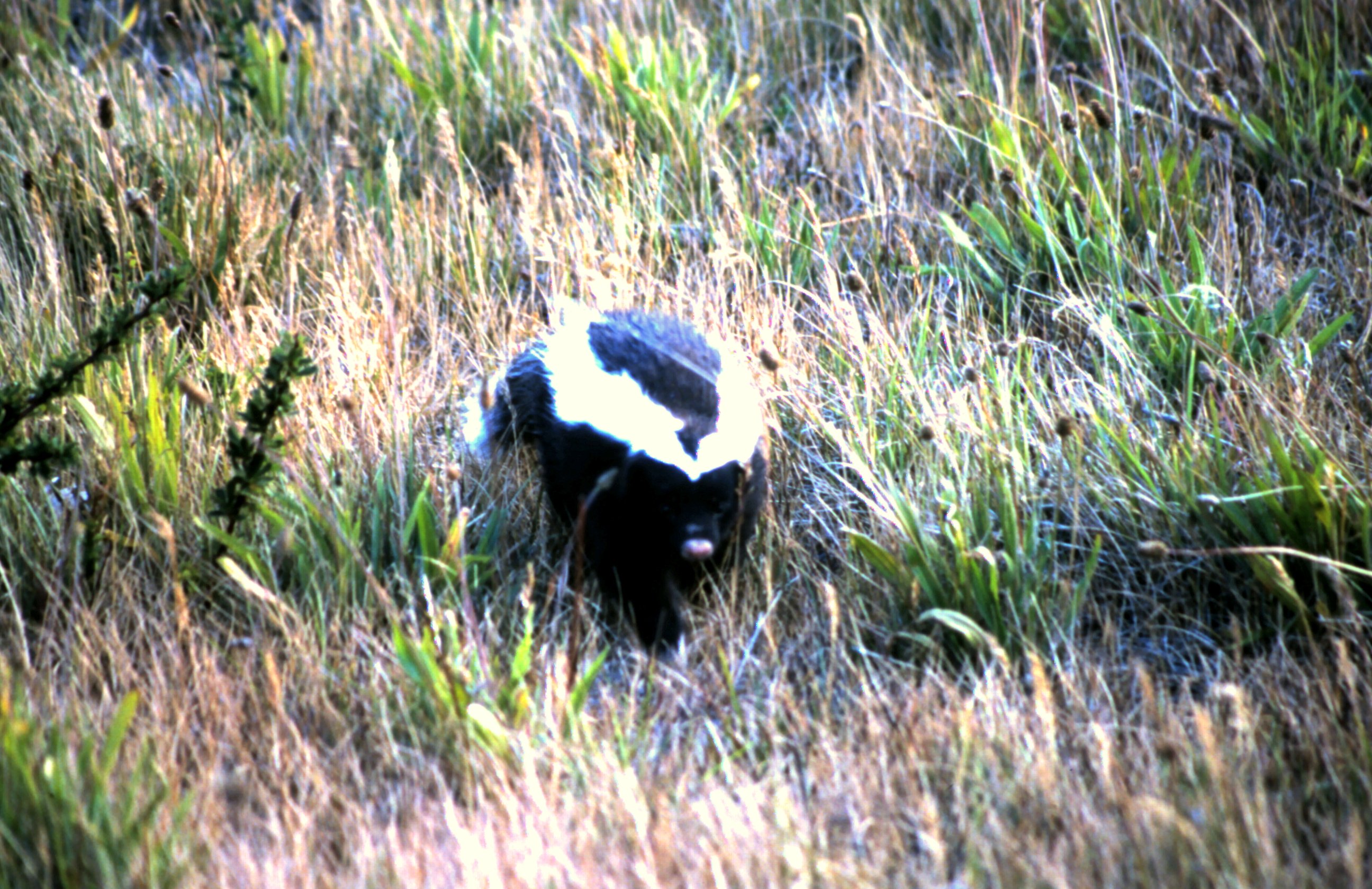
The next day Jerry takes us for a walk in the jungle. He tells everything about the flora and fauna. About the Quininetree, which they use against malaria, the rubbertree, the manioc plantage and we taste coconut larva's. Everytime when he hears a sound we stop to discover the animal. We see different colorful birds. It's hot and humid and sometimes Jerry has to cut his way through the jungle with his knife. On our way back Jerry catch a turtle. For dinner he says. And after dinner we go crocodile hunting." Just for fun", he says.
After a good night sleep in a hammock we go fishing for piranha's. Jerry explains how to do it and after some time they bite. We catch enough piranha's for a soup. Jerry's wife starts to prepare the turtle that we caught yesterday. The turtle meat is mixed with salad and served in his shell. We all take place in the living room on the boat and the piranha soup is served. It is a strange idea to see the piranha's with the big jaws on your plate, but it taste well. The turtle salad looks great and taste delicious. For drinks there is Pingha. That is a kind of local whisky, with lemon and lots of sugar. It taste great and is very strong. It is a very nice evening and we feel like home. The Pingha makes me sleepy and when I walk back to the guesthouse and lay myself in my hammock, the world starts to turn......
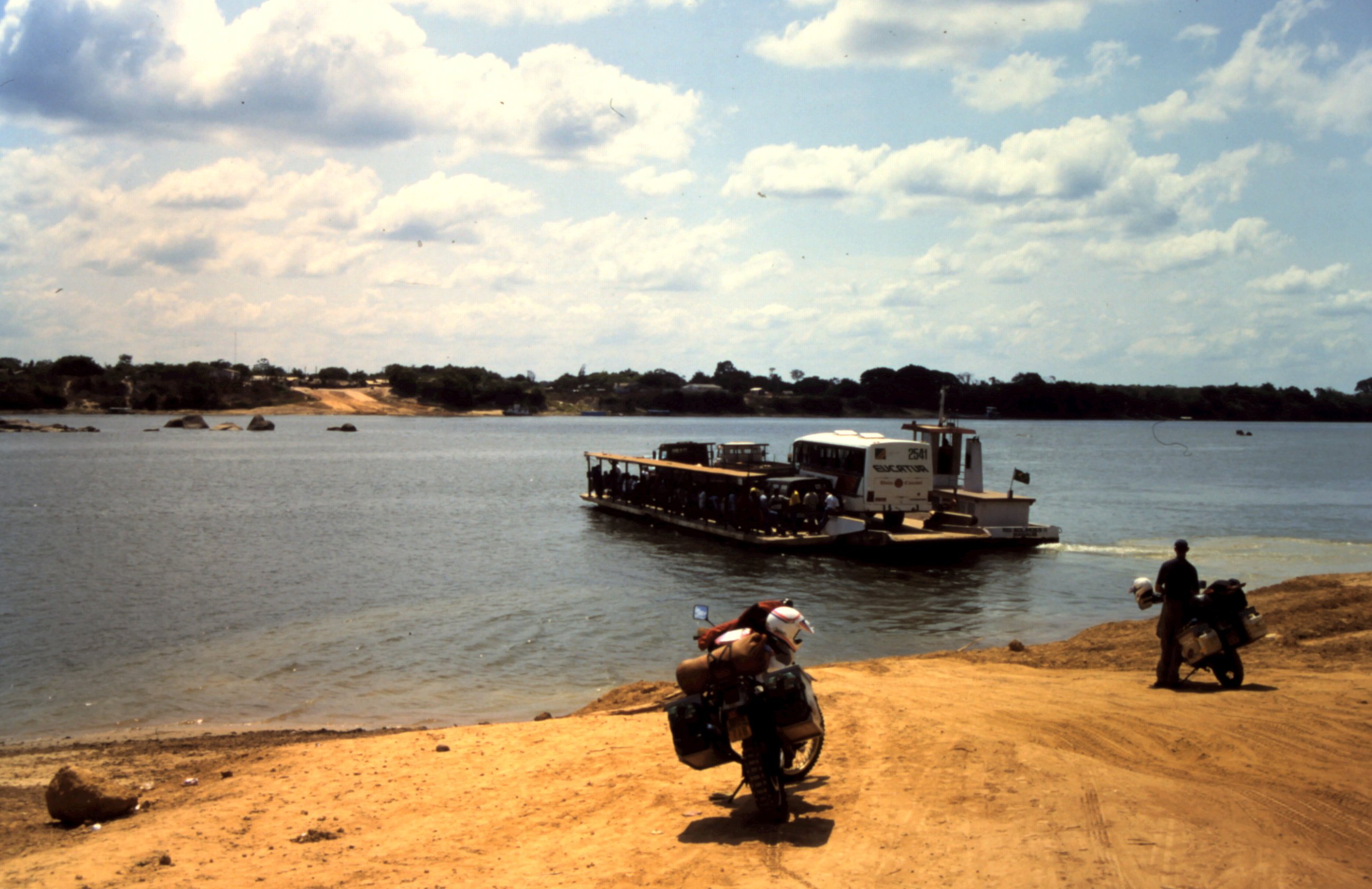
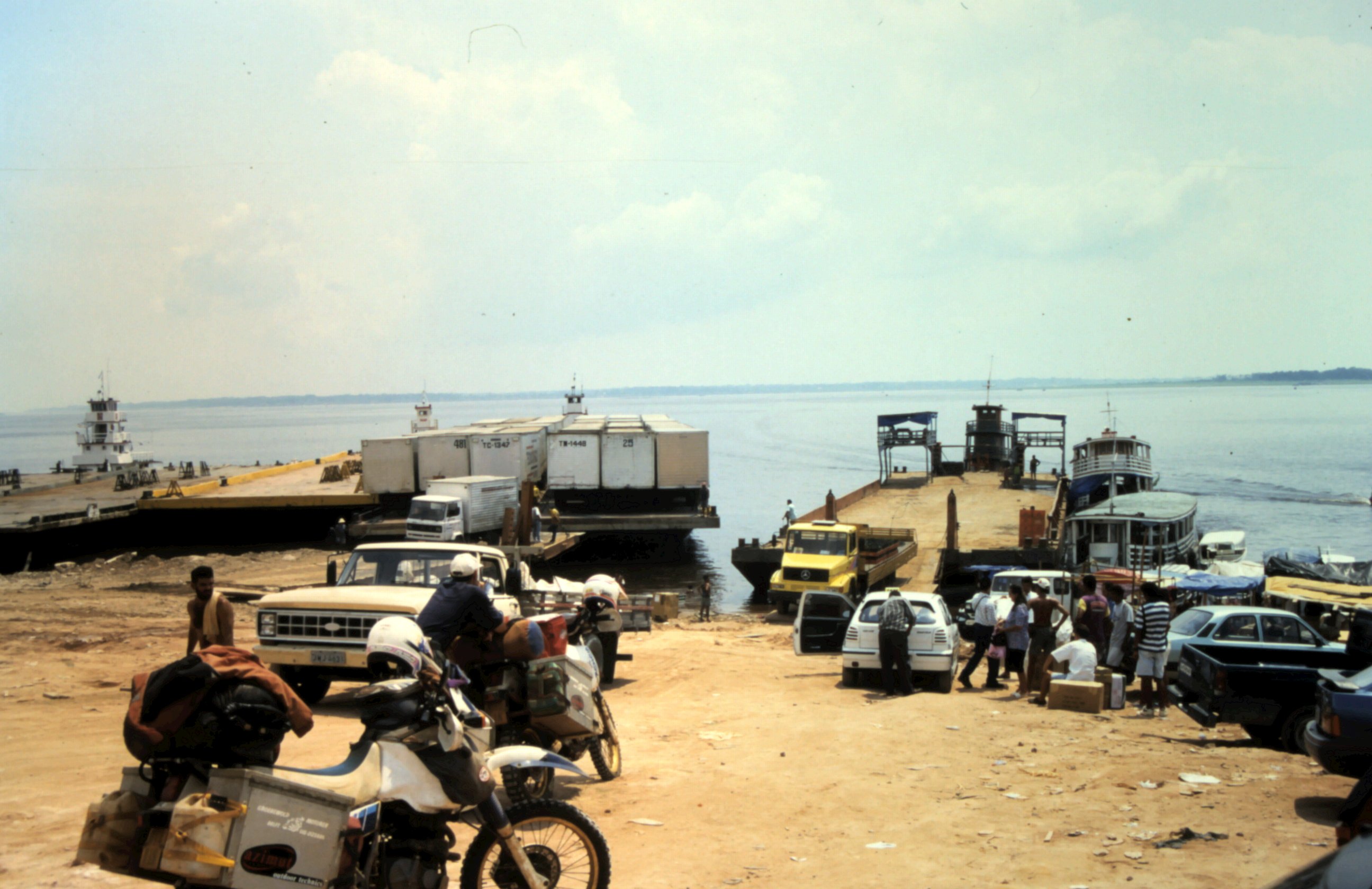
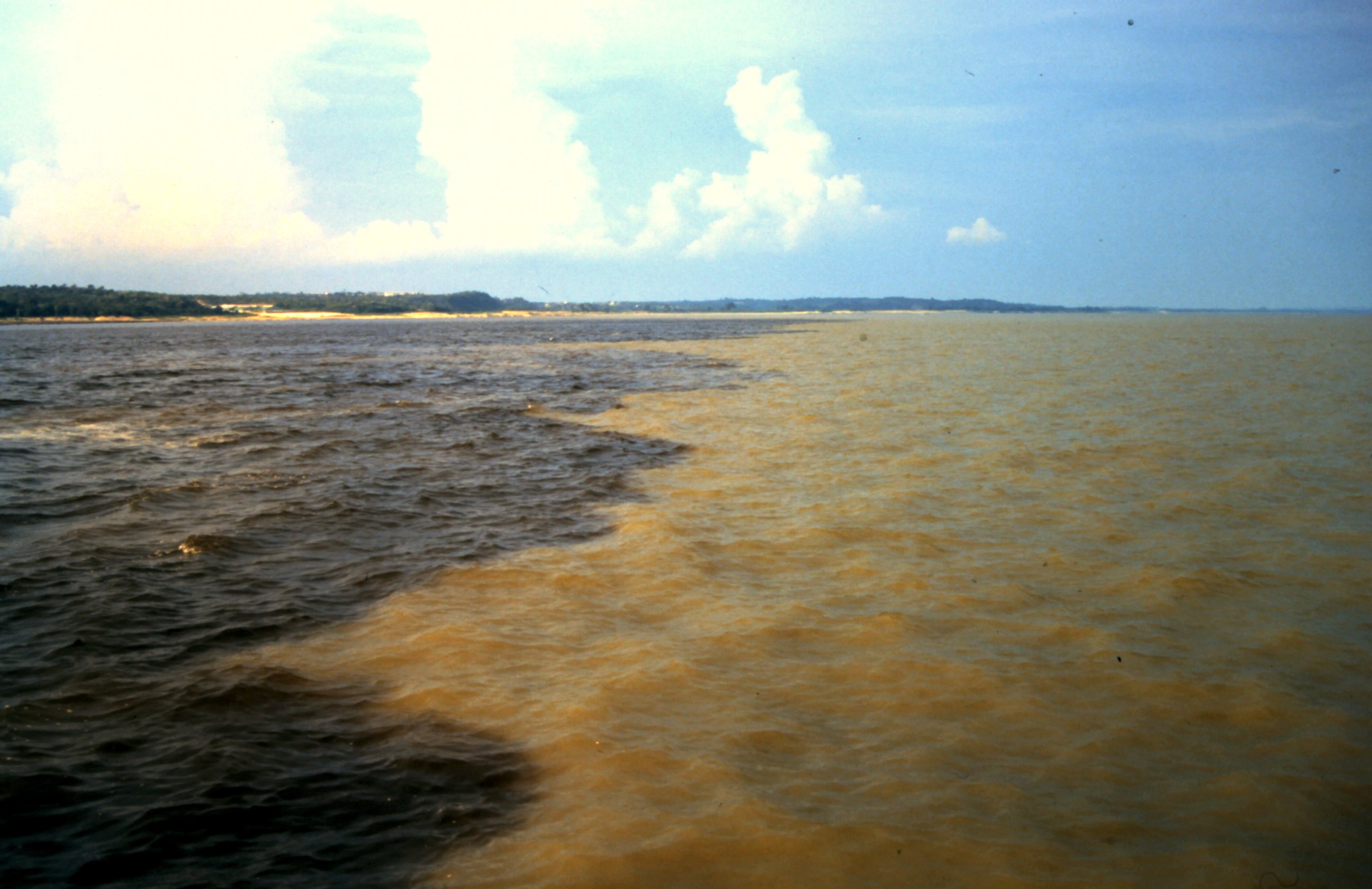
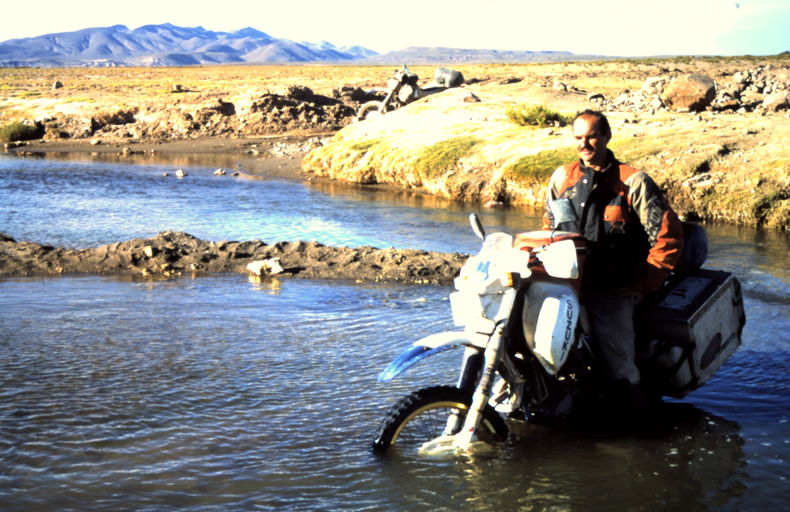
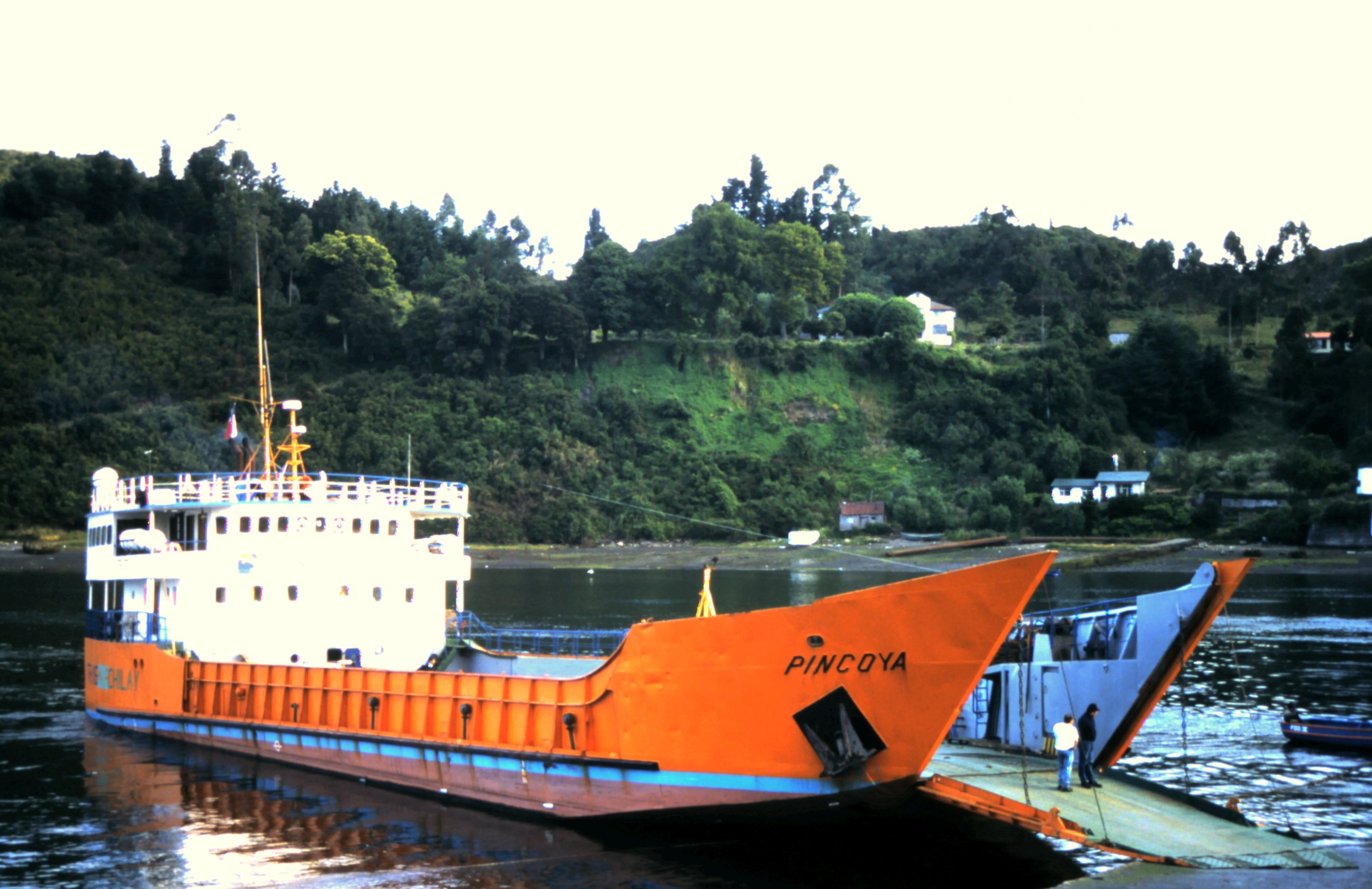
During a river cross with a ferry we see black water of the Rio Negro meeting with sandy colored water from Rio Solimoes ( Rio Amazone). For 6 kilometers the 2 rivers run side by side without mixing, caused by difference in water temperature, speed and density.
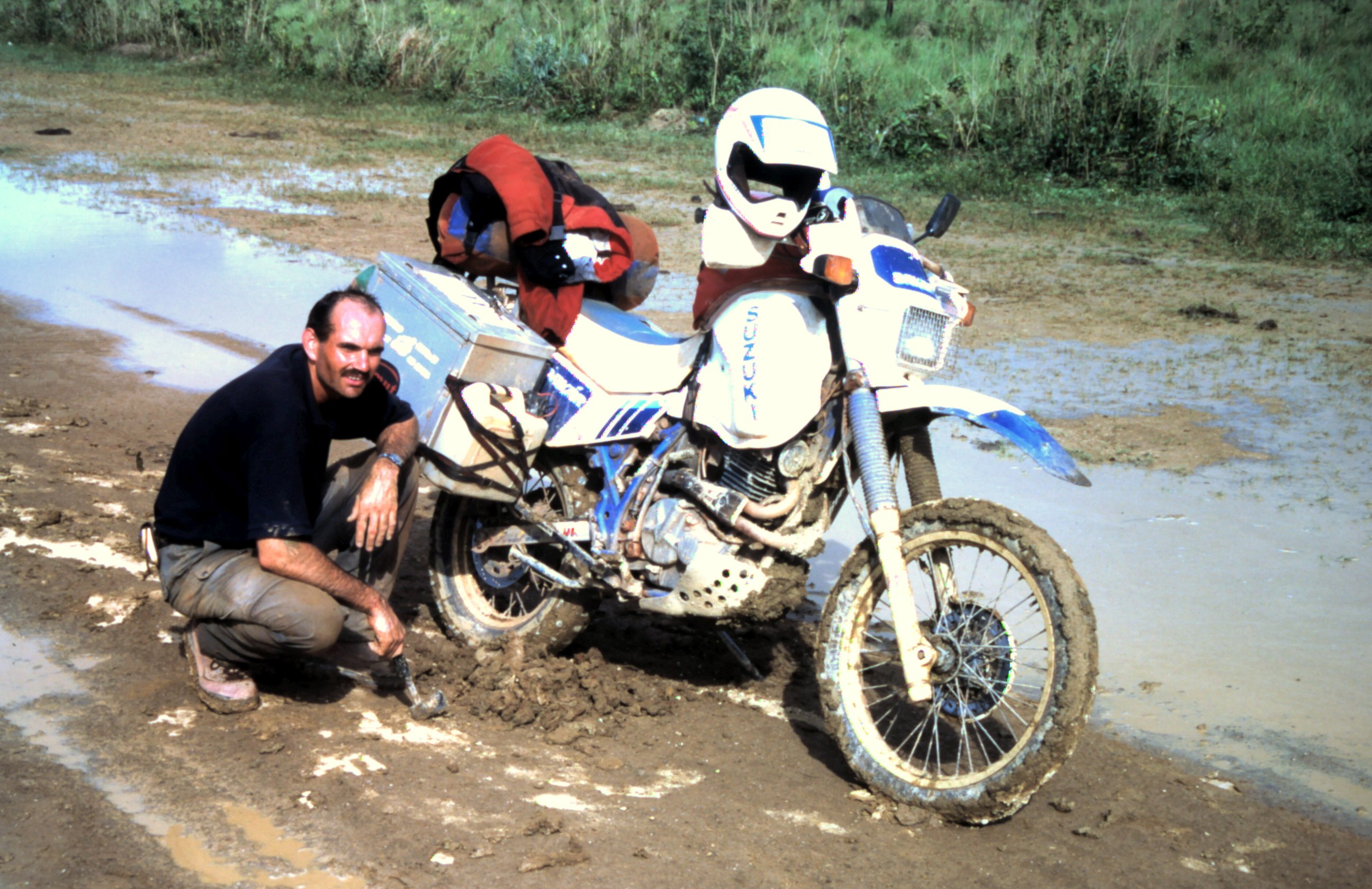
Back on the straight road throught the amazone rainforest I try to imagine that we ride our bikes through the world largest rainforest. It feels incredible. Suddenly we see a leaves moving over the road. When we stop, we see that the leaves are carried by ants. These leave cutter ants cut out parts of leaves and transport it to their nest.
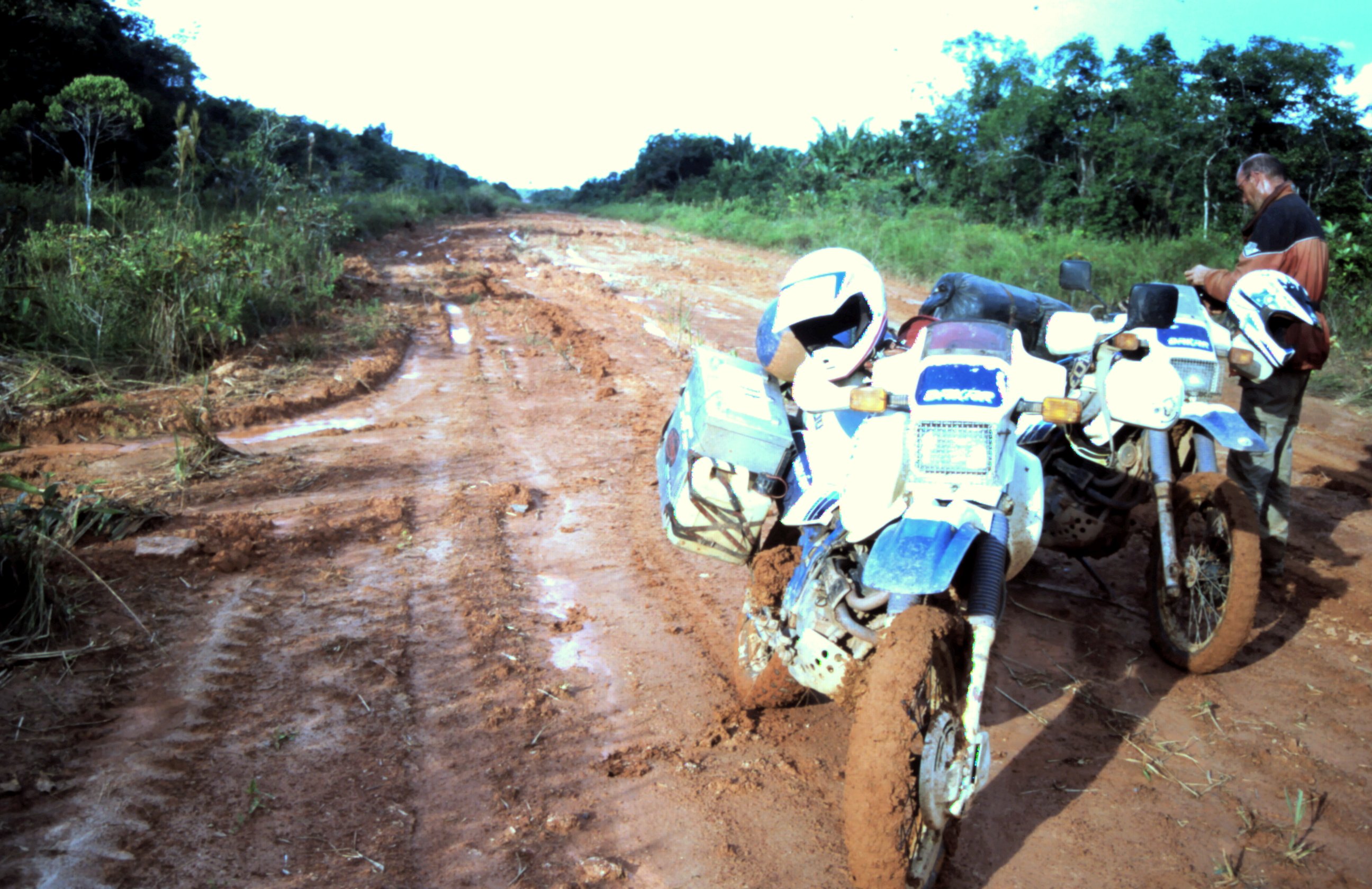
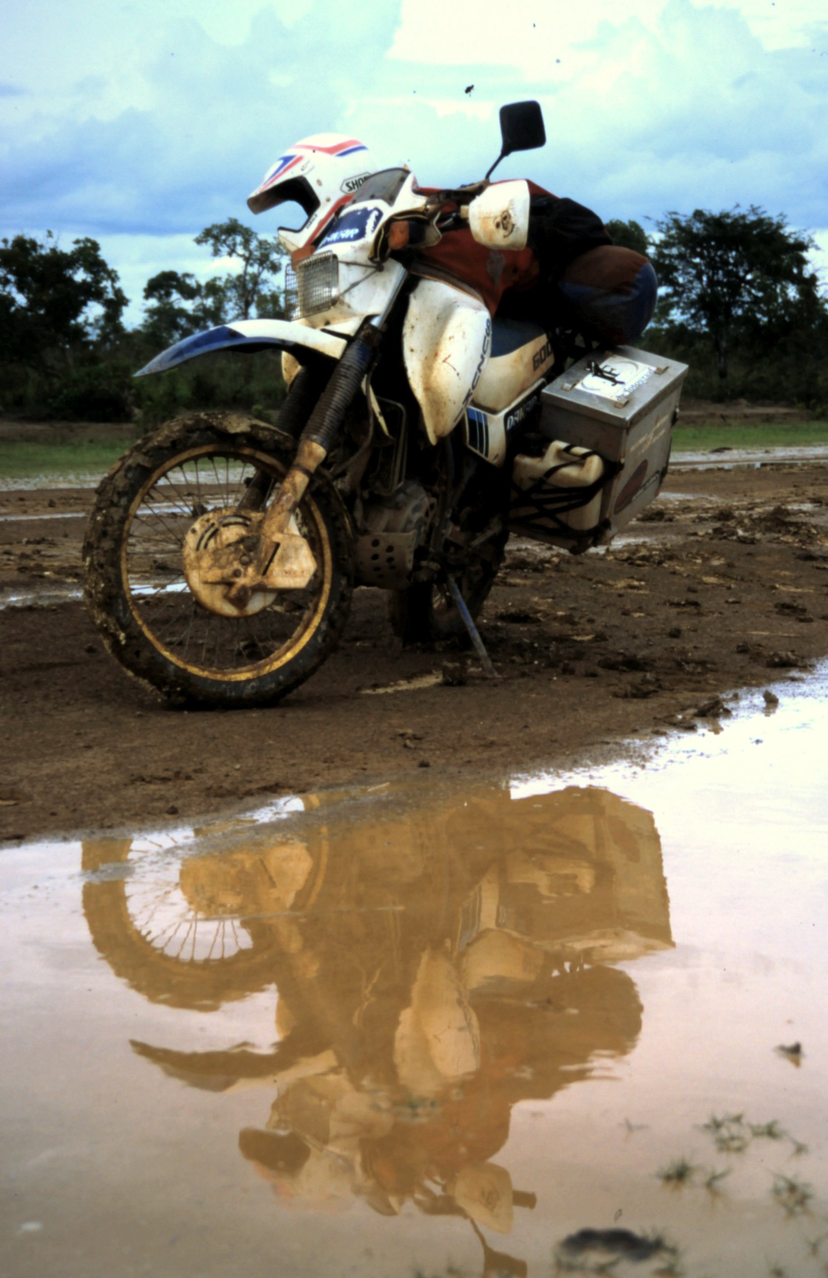
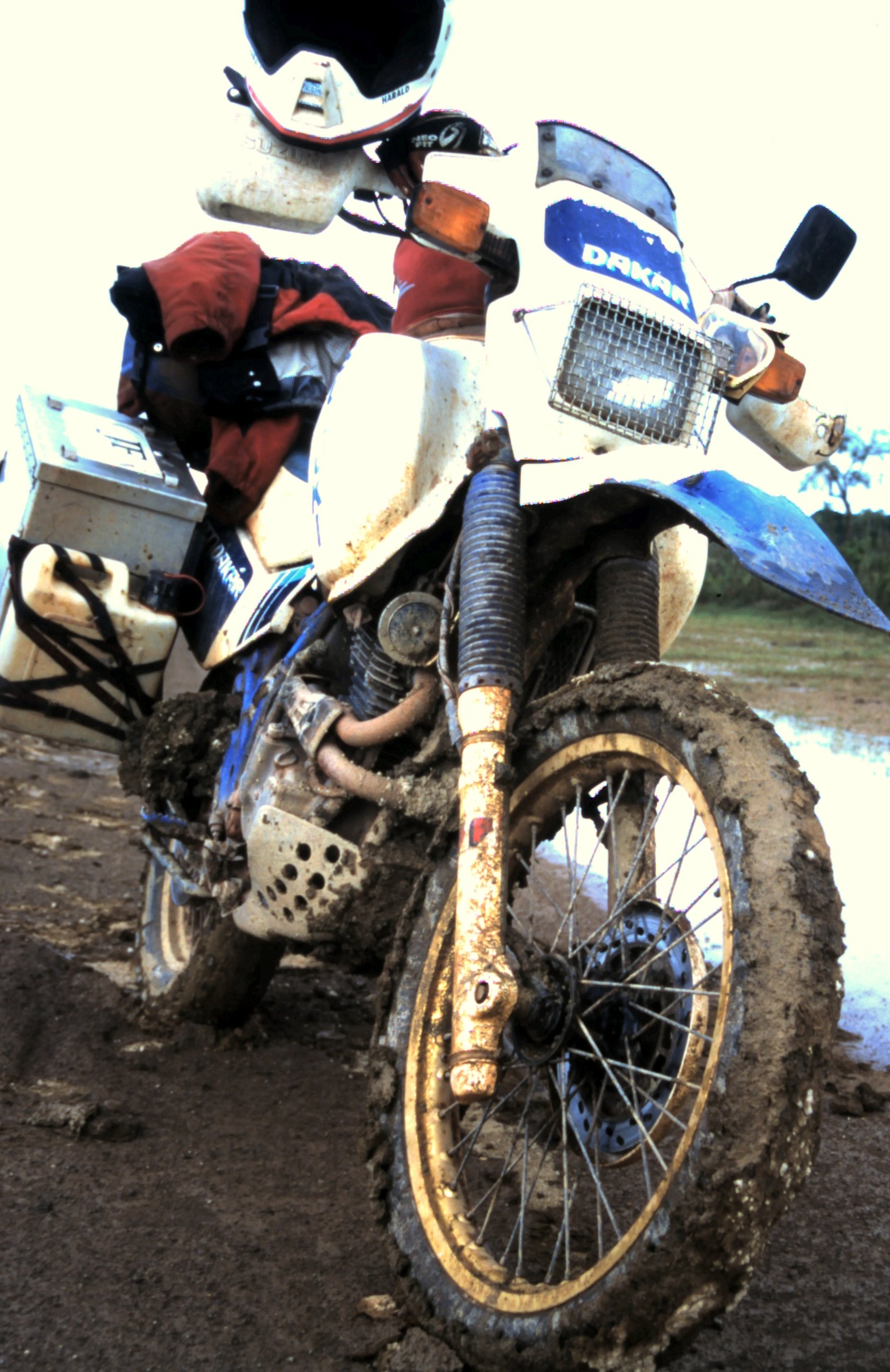
Last night it rained a lot and the red earth of the road changed into slippery mud that sticks so much to our tires that we loose all grip. At a certain moment Harald stops. His rear wheel is completely blocked with mud and we have to cut is away with our ax. It's time that we leave the rainforest before the real rain season starts.


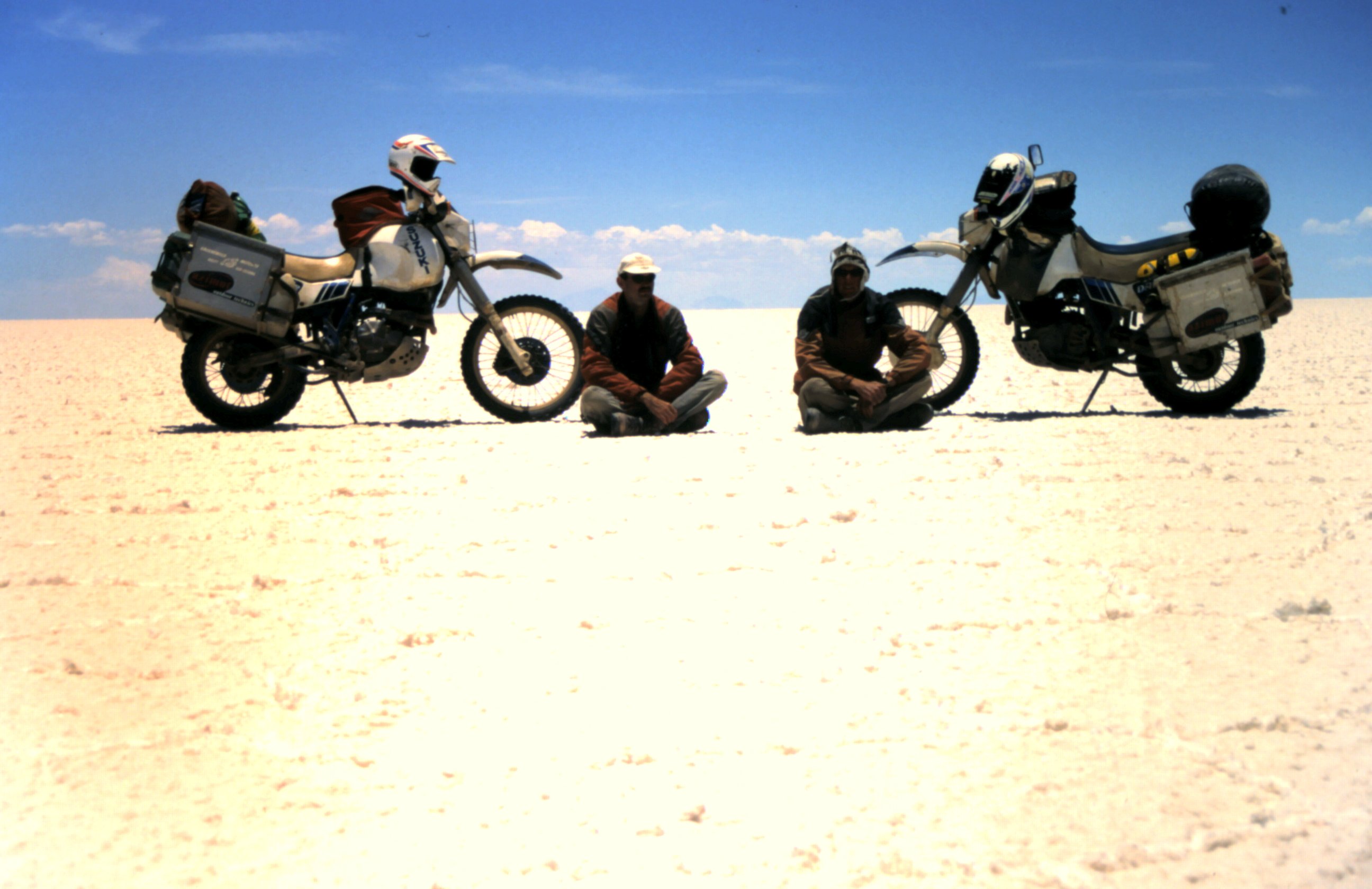
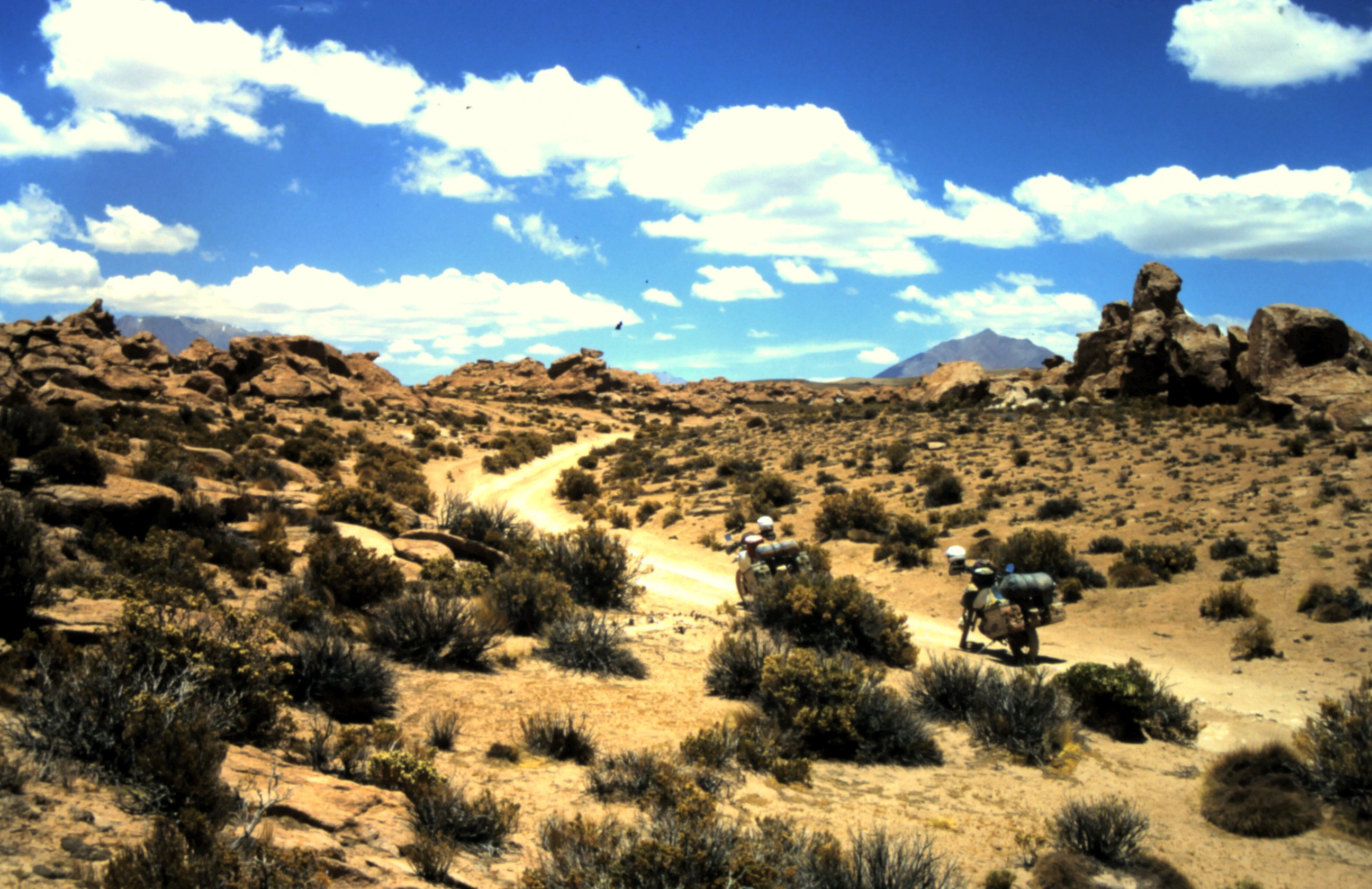
Salar de Uyuni.
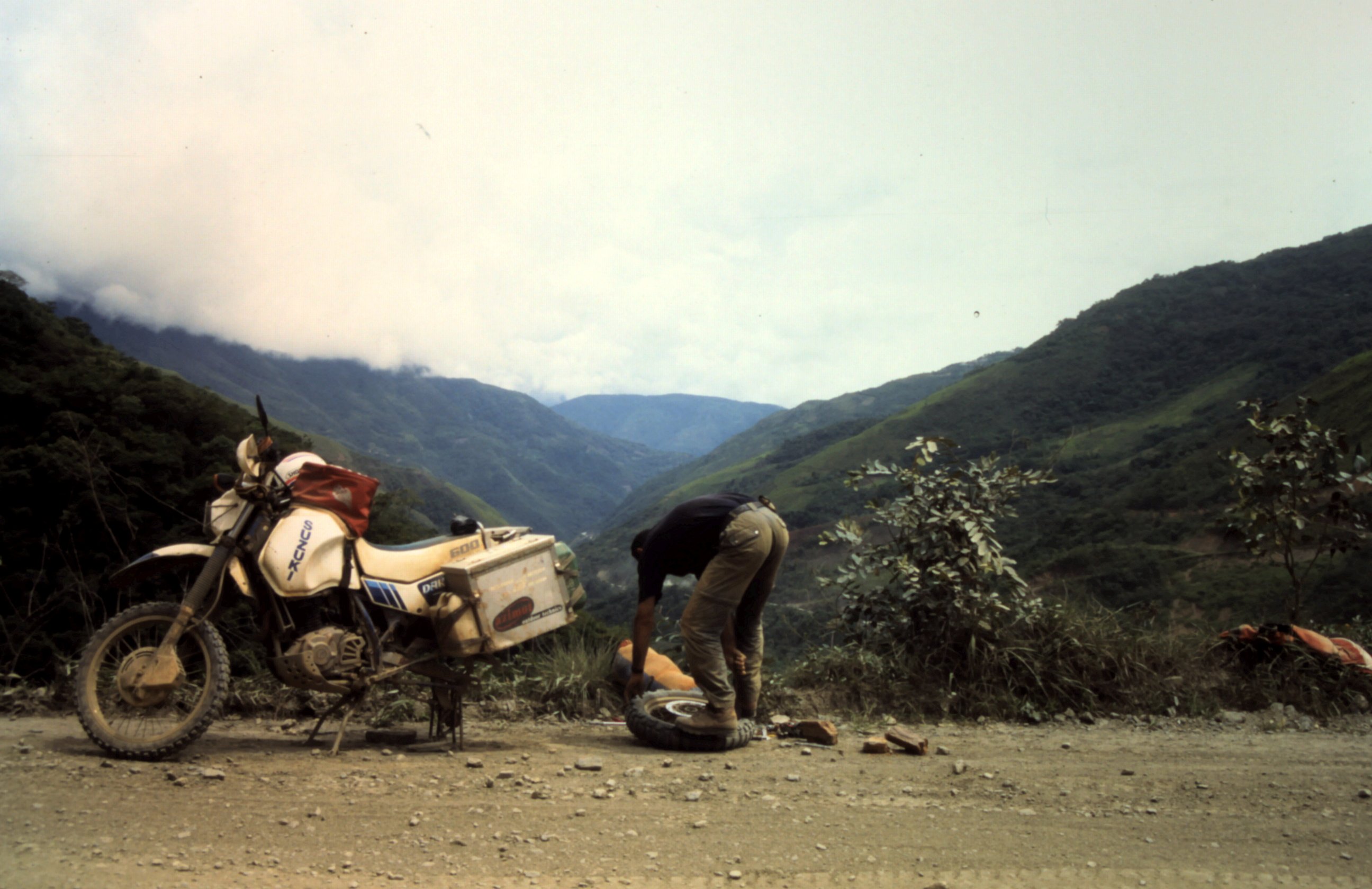
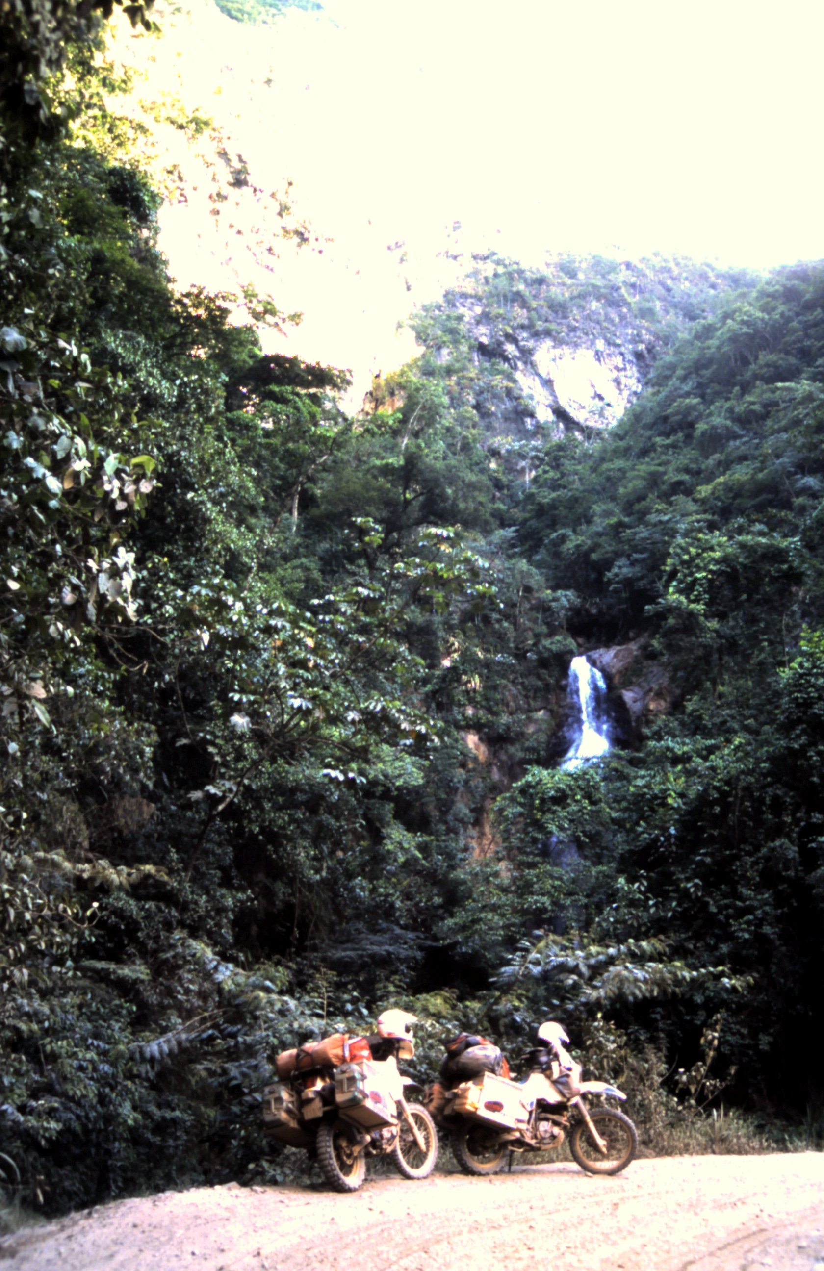
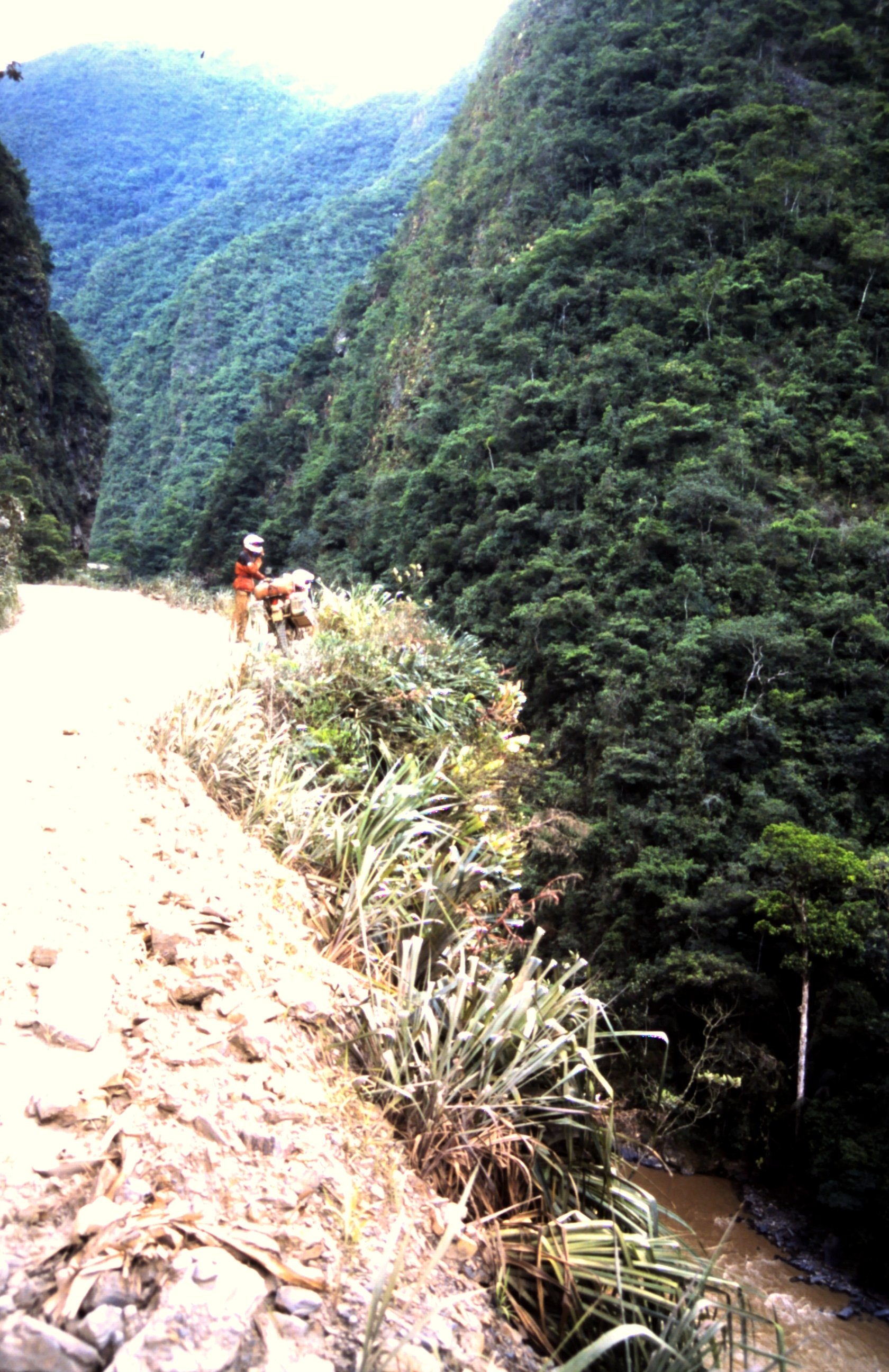
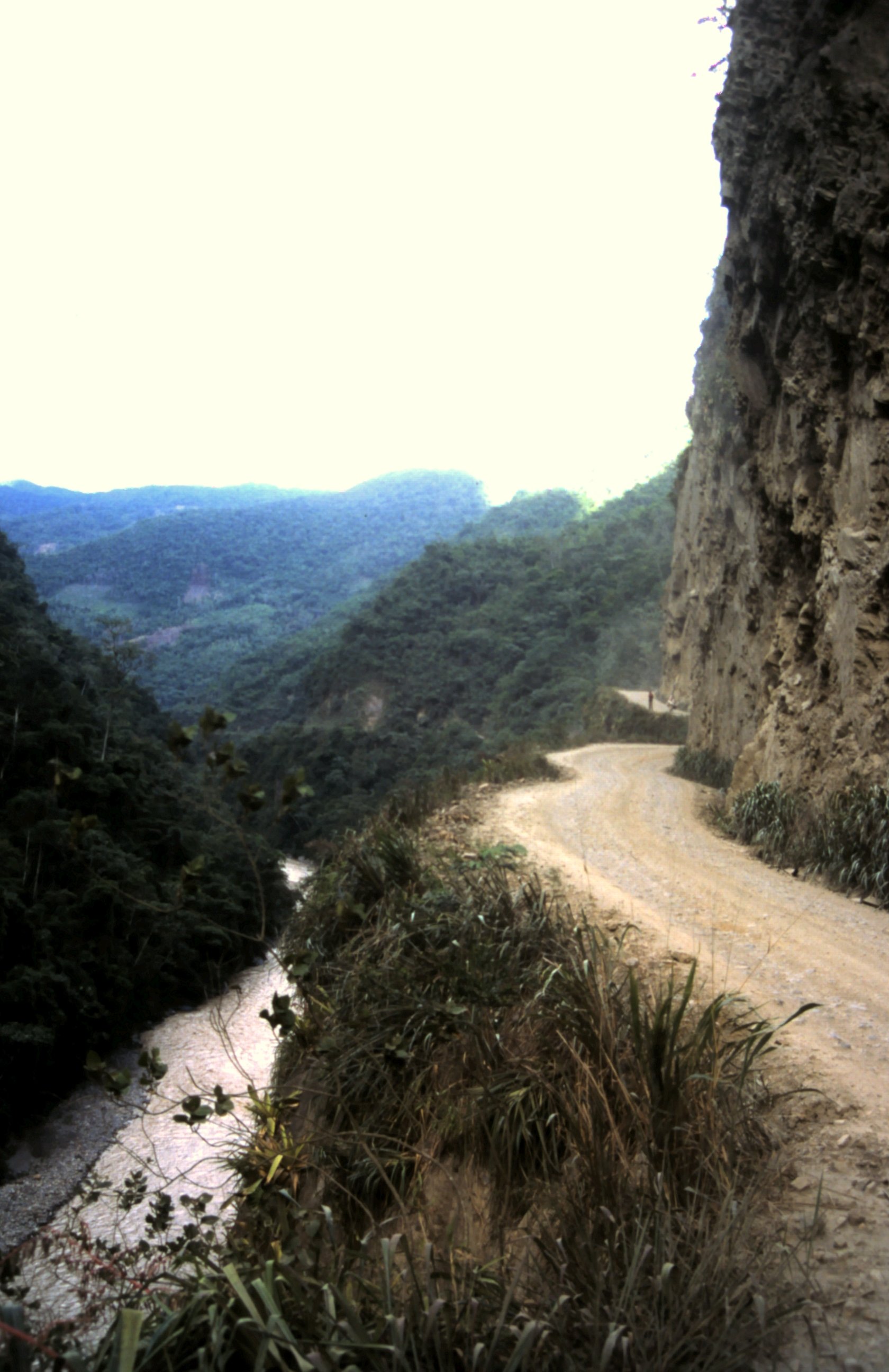
The road is climbing through the sub tropical Yungas forest in Bolivia. At Coroico we make a coffee stop. When we ride on Udo's bike feels out of control and it turns out that the rear tire is flat. 45 minutes later it is fixed and we continue. The road ascends and gets smaller and winds around the mountain. There are no guard rails and deep cliffs. Then a big a bus comes around a corner and is blocking the way, The bus driver cannot go backwards and gestures with his hand that we have to pass. Udo rides slowly to the bus and pass on the right side. His left aluminum box slides against the bus and the right box is over the cliff. HOLY SHIT, this is scary! Then Harald makes the same move and passes the bus. Well, we hope we don't have more of these scary encounters... When we arrive at a hotel in La Paz, some travelers ask if we are going to do the "death road". Well, we have no idea. Where is it??? Then it seems we did the death road, locally known as El Camino de la Muerte and is one of the worlds most dangerous roads...
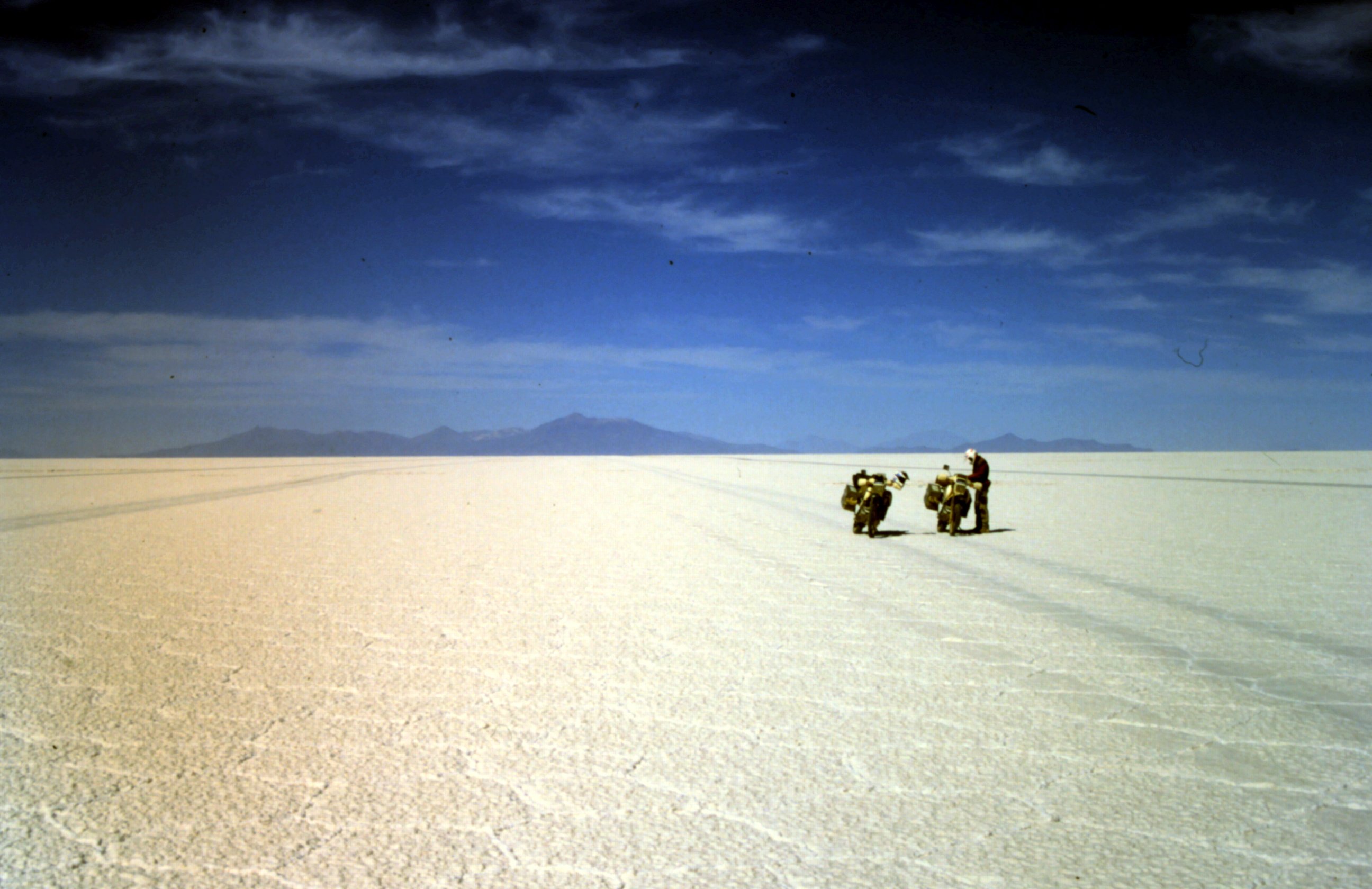
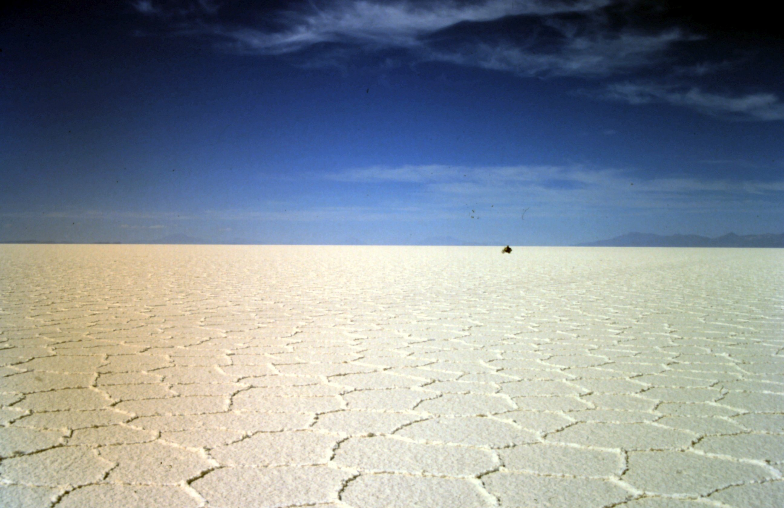
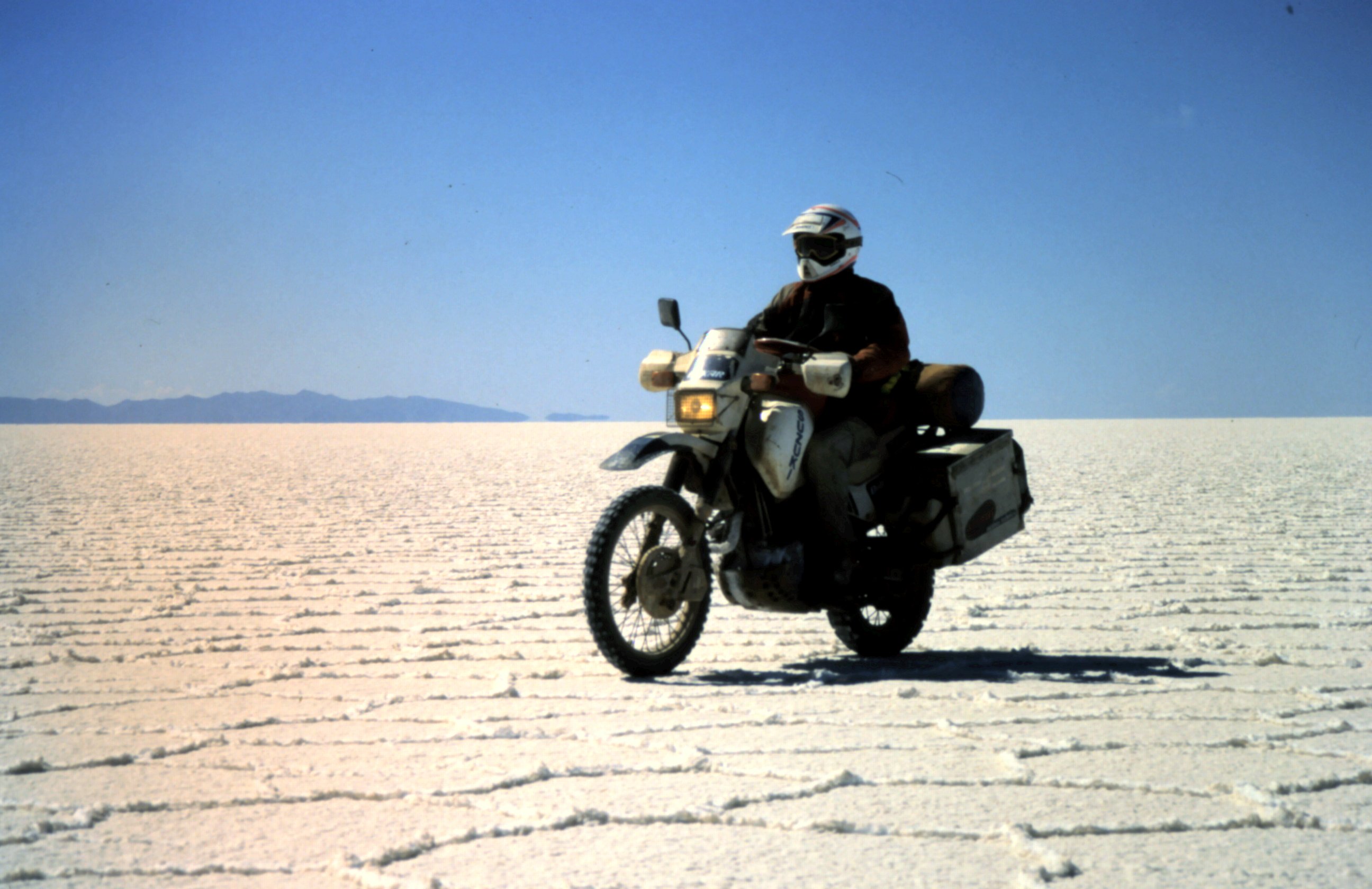
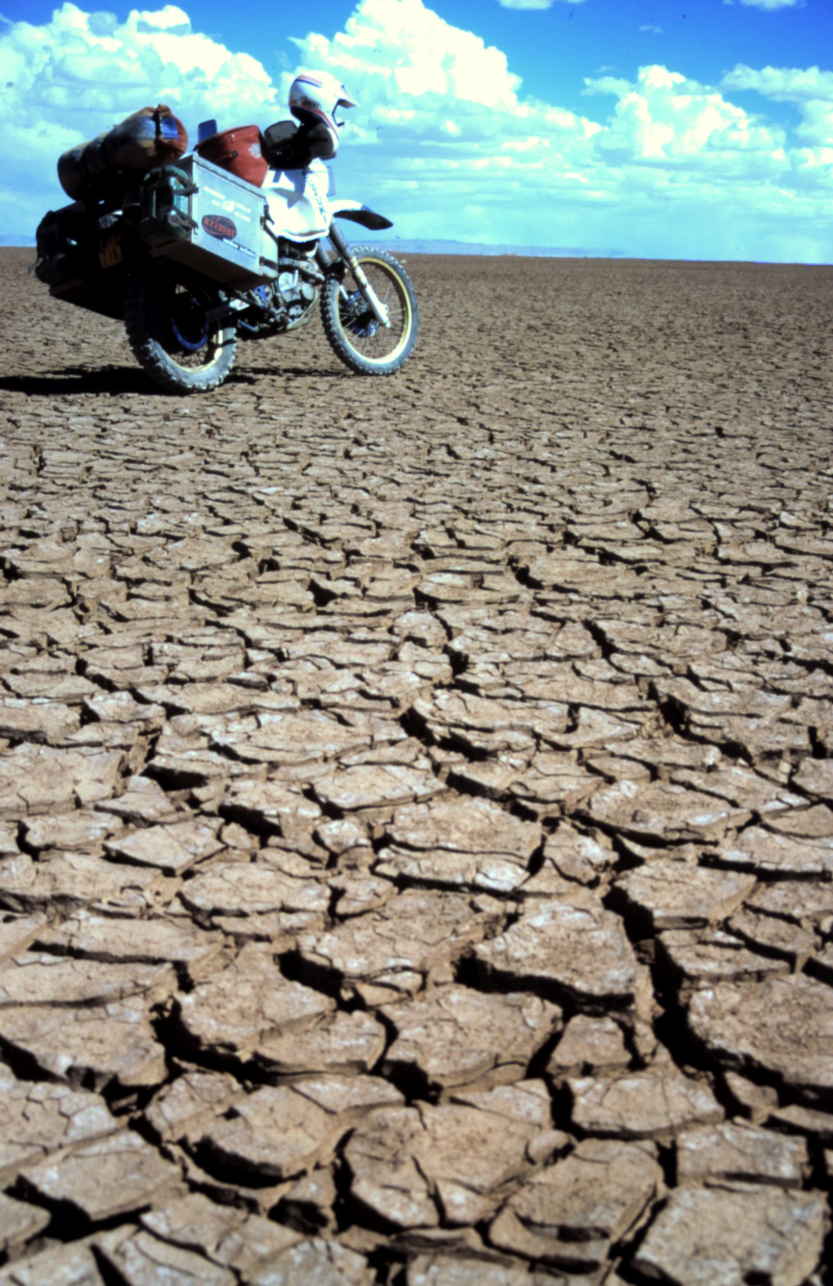
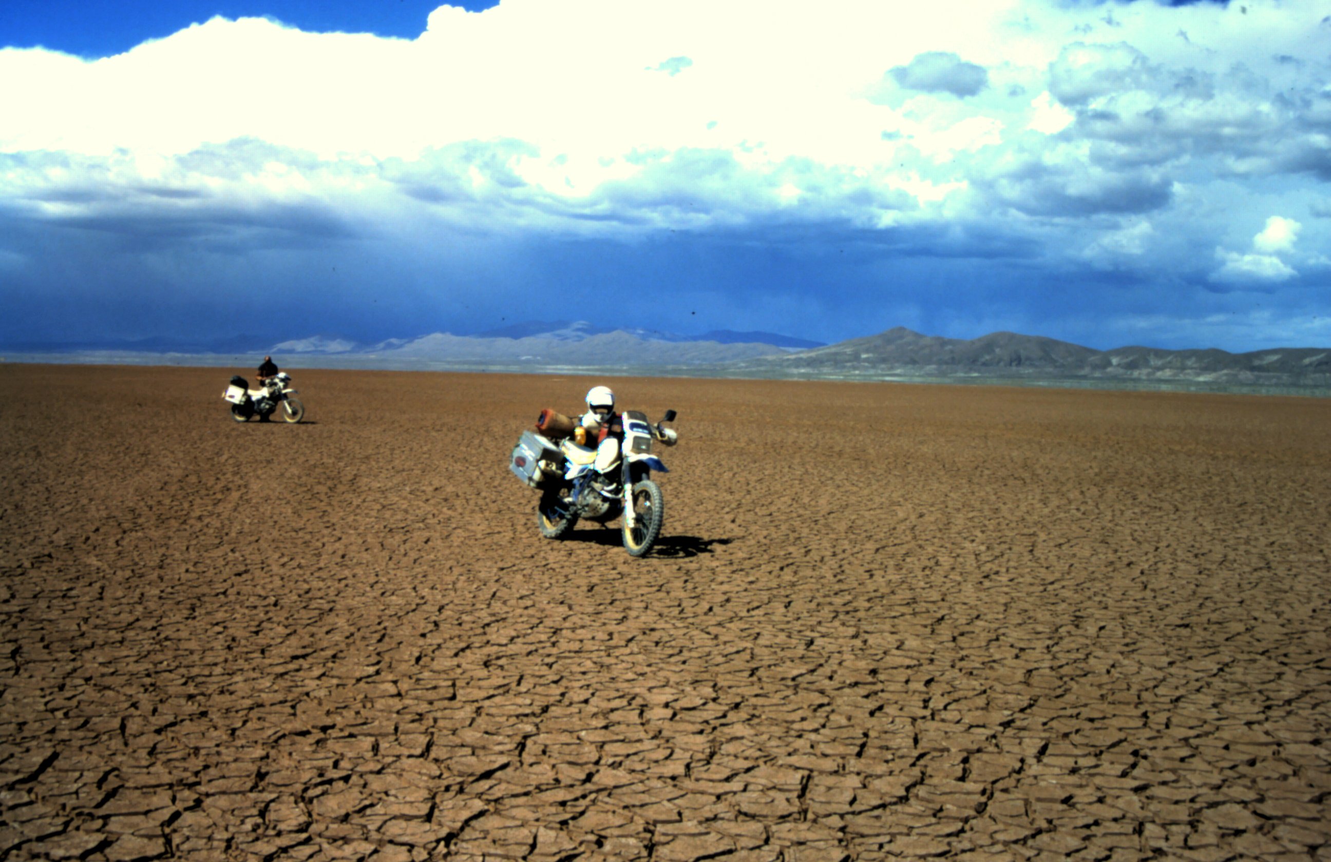
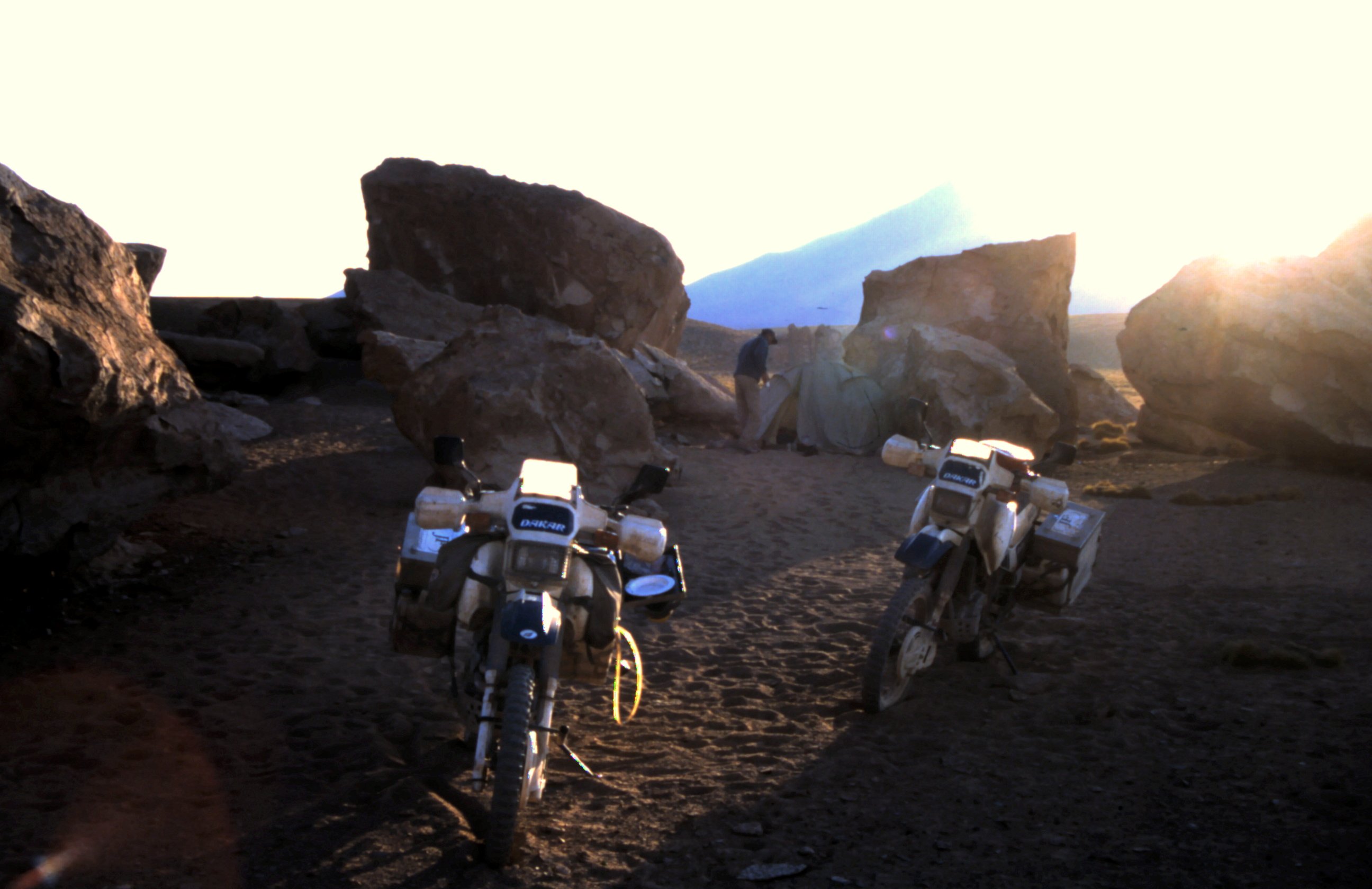
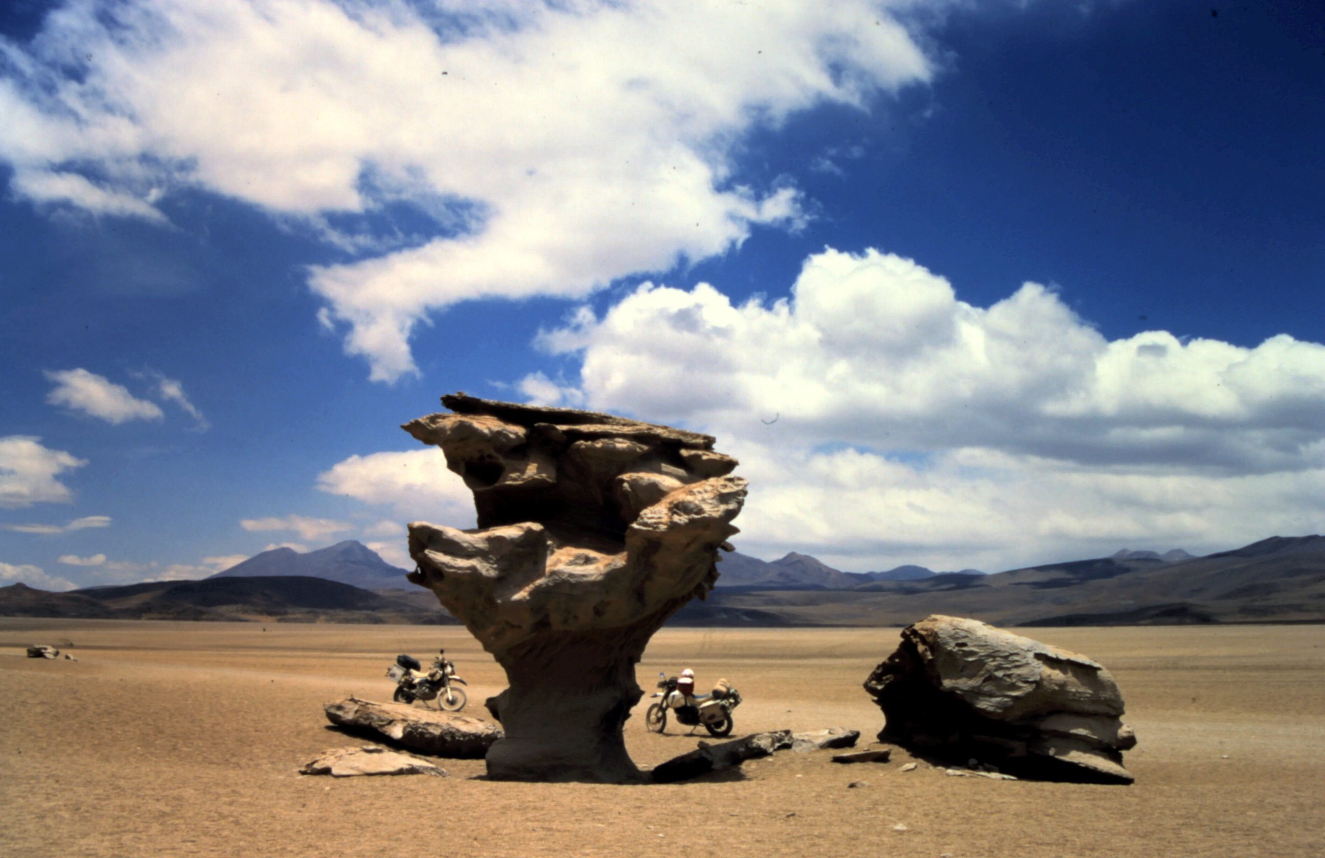
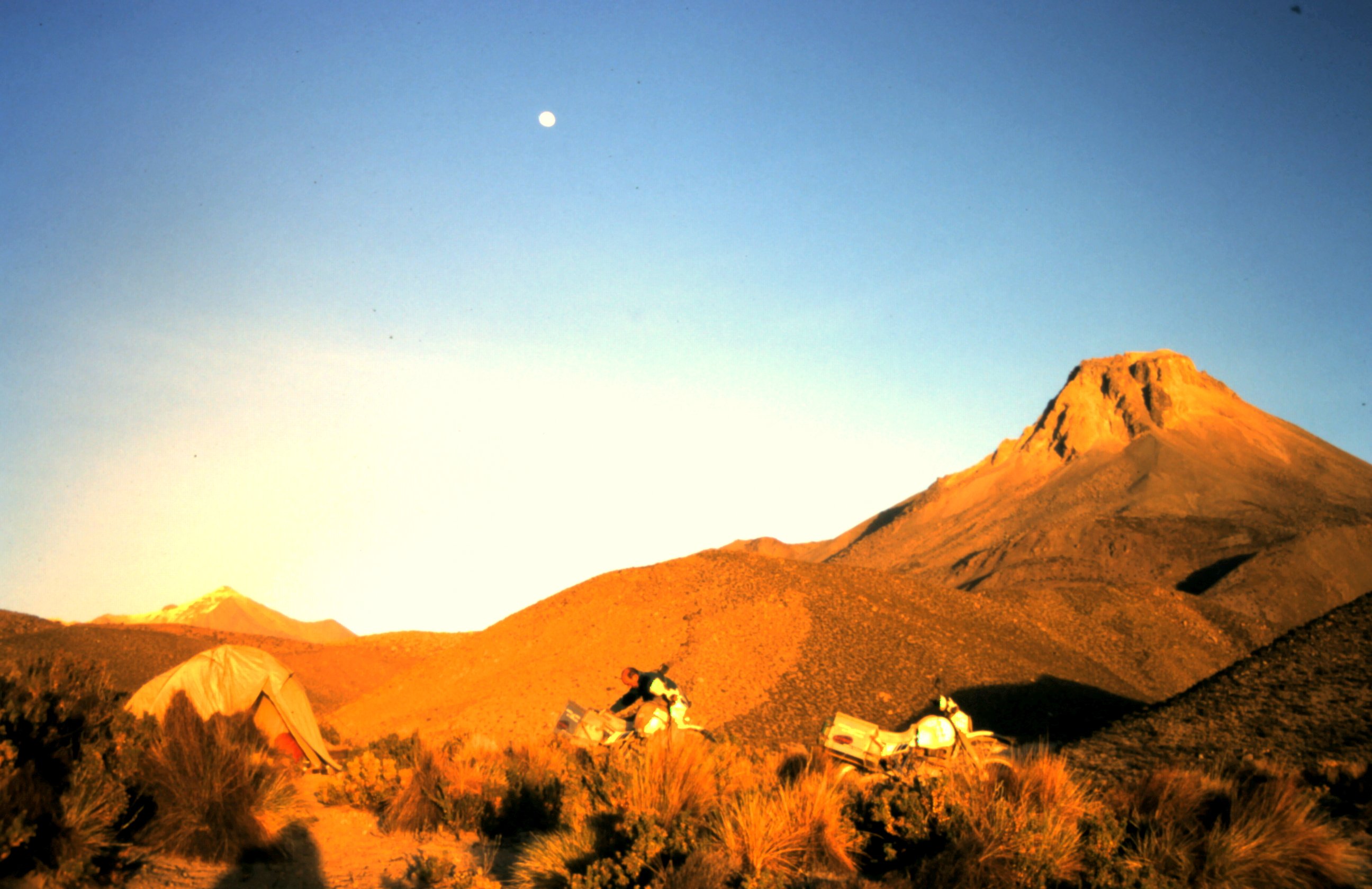
Everywhere around us it is white. White from salt, which turns into blue at the horizon. The whole salt lake is covered with hexagonal shapes and it gives a kick to ride on this lake. You loose all your orientation and sence of speed. Am I riding, am I flying? It surreal... but it is great. We are riding on Salar de Uyuni in Bolivia. With 140 km in diameter this is the worlds largest salt lake. We didn't see any tracks for a while and the idea that we are lost concerns me. Because we did not fill up our fuel tanks... When we arrive at a small island we want to go there to have a lookout for orientation. Just in front of the island the salt layer gets so thin that my motorbike sag. The whole rear wheel disappeared in the salt. It is a hard job to dig out the bike at 3600 m altitude. We are exhausted. And we are lost. We have no idea which way to go. So we pitch our tent for the night and the next day we follow our own tracks back to Uyuni.
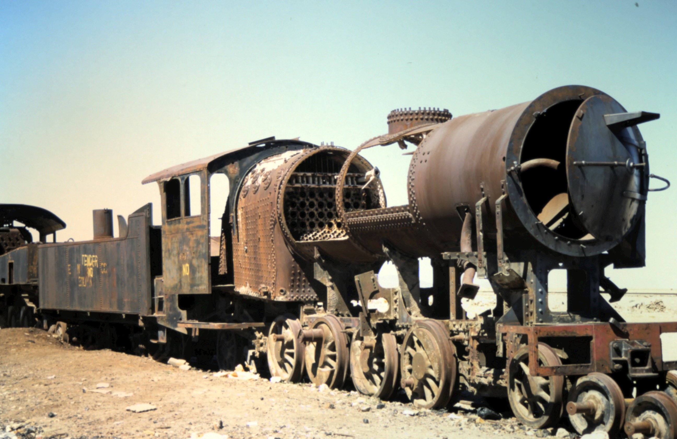
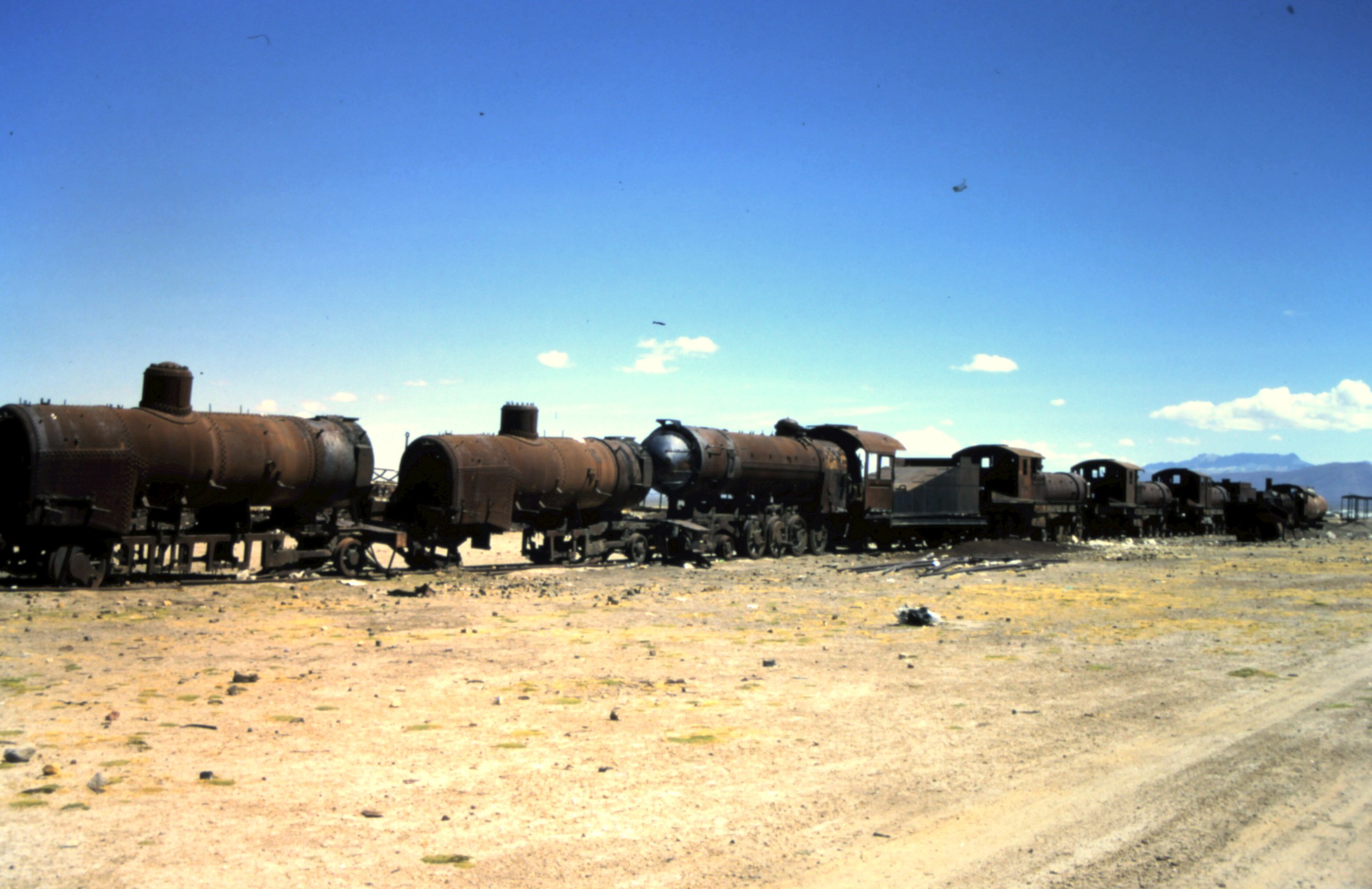
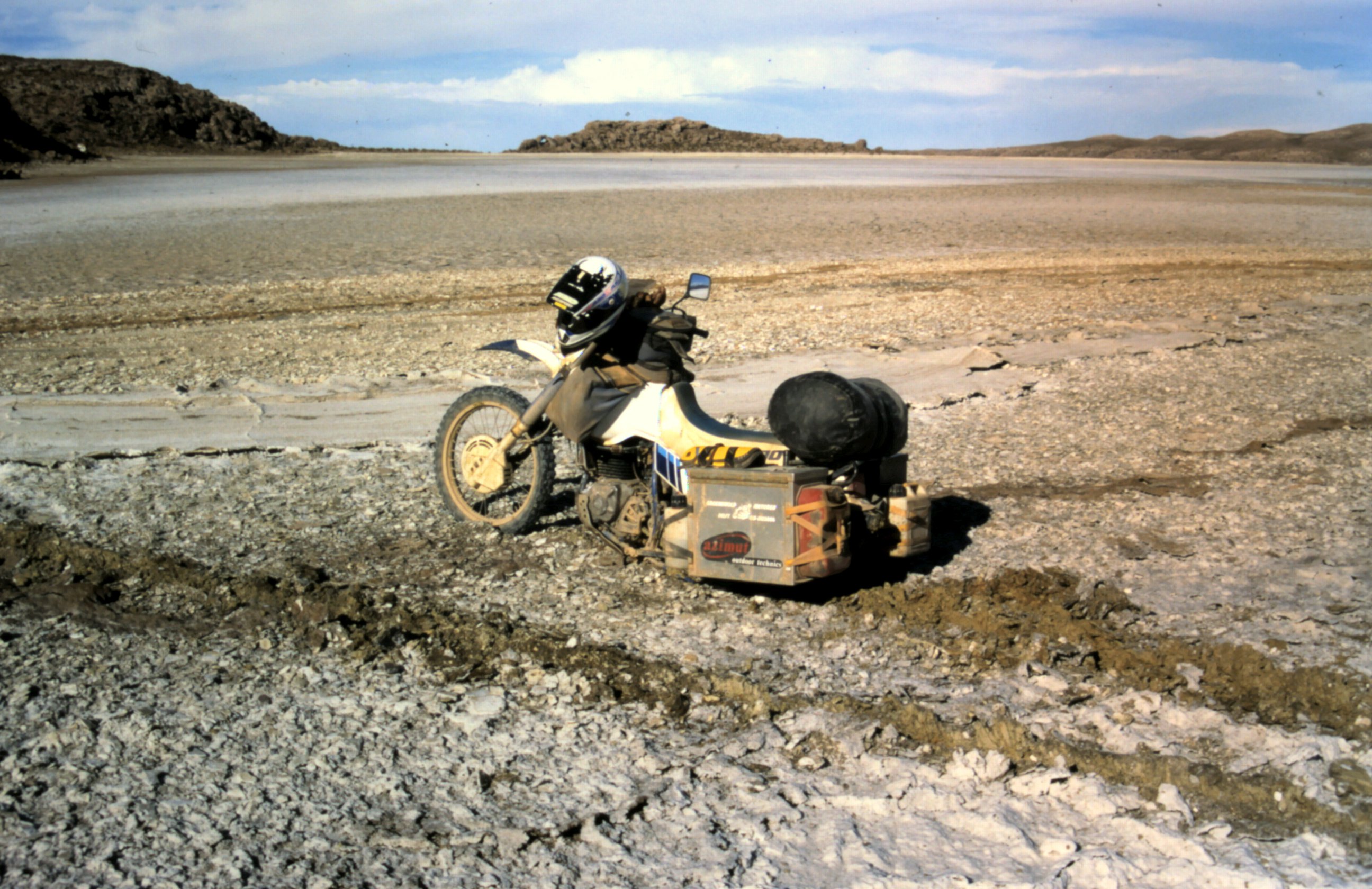
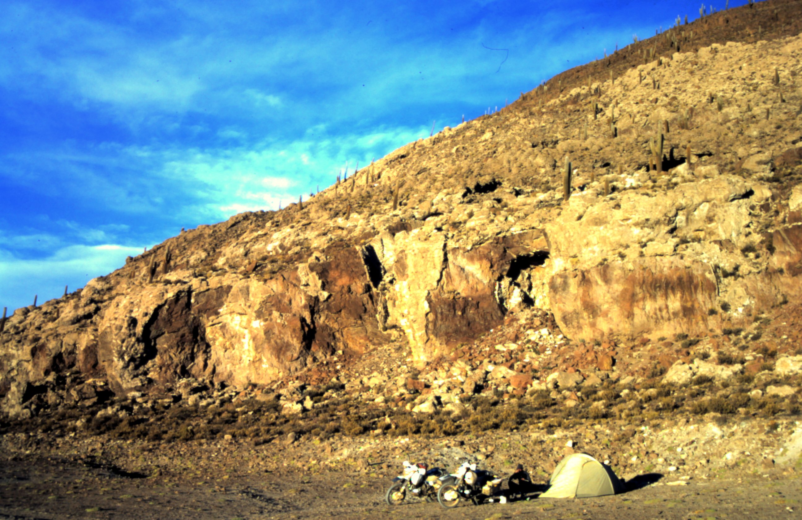
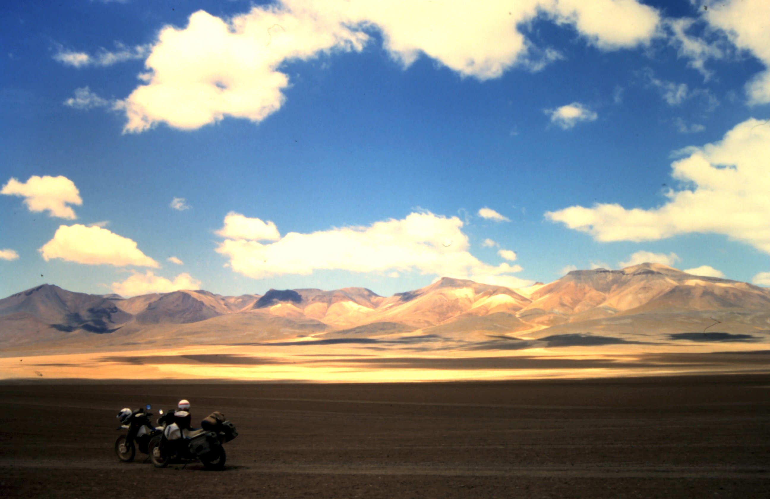
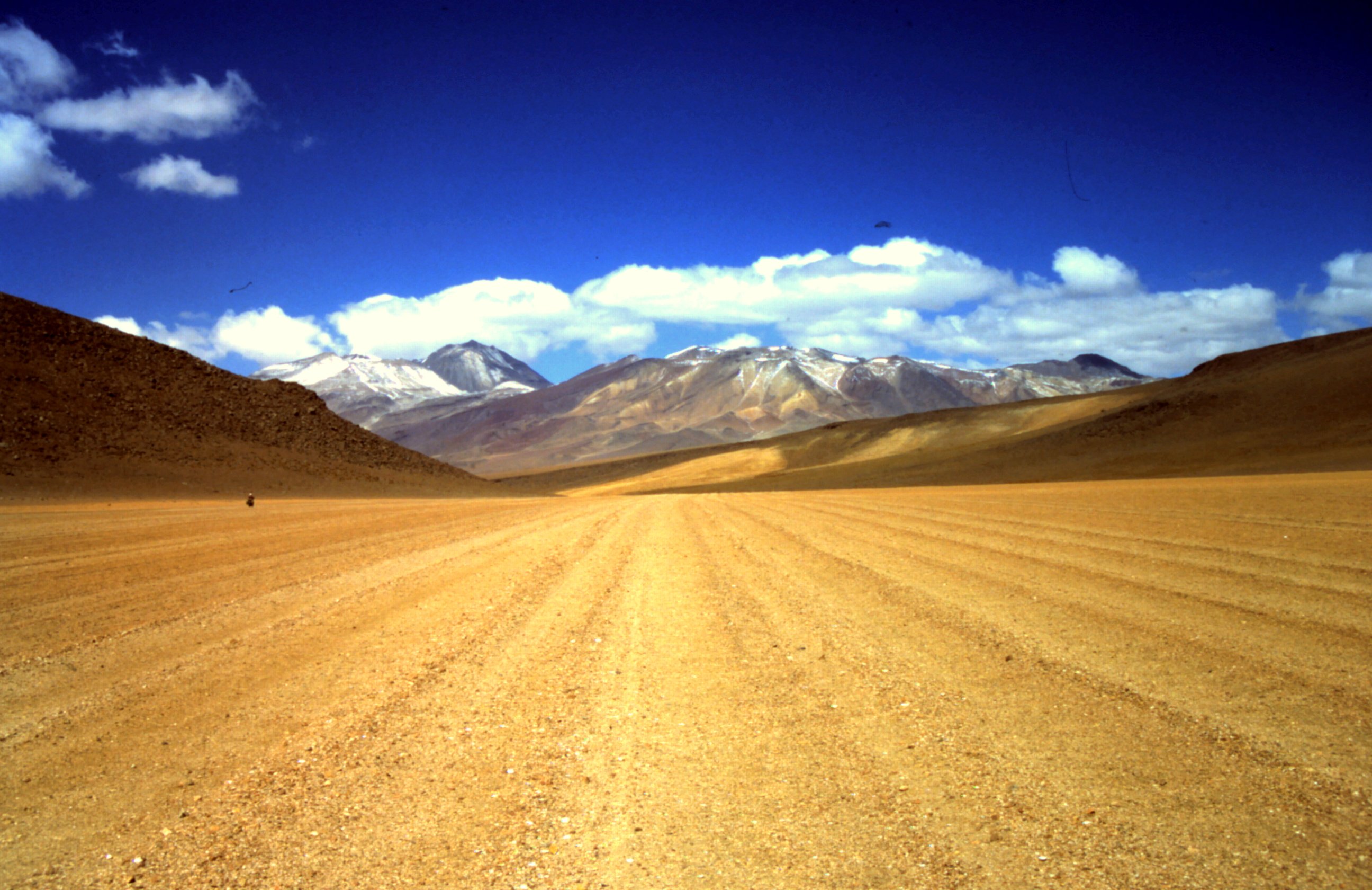
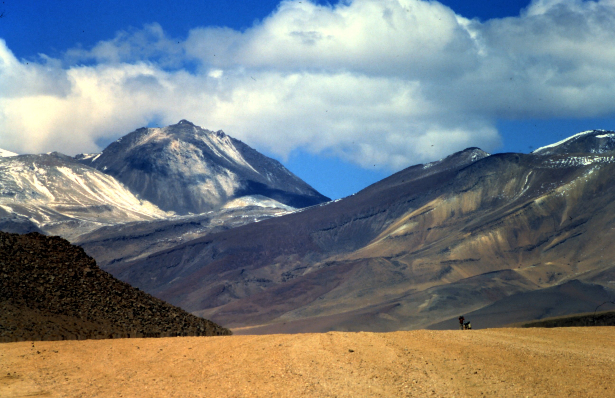
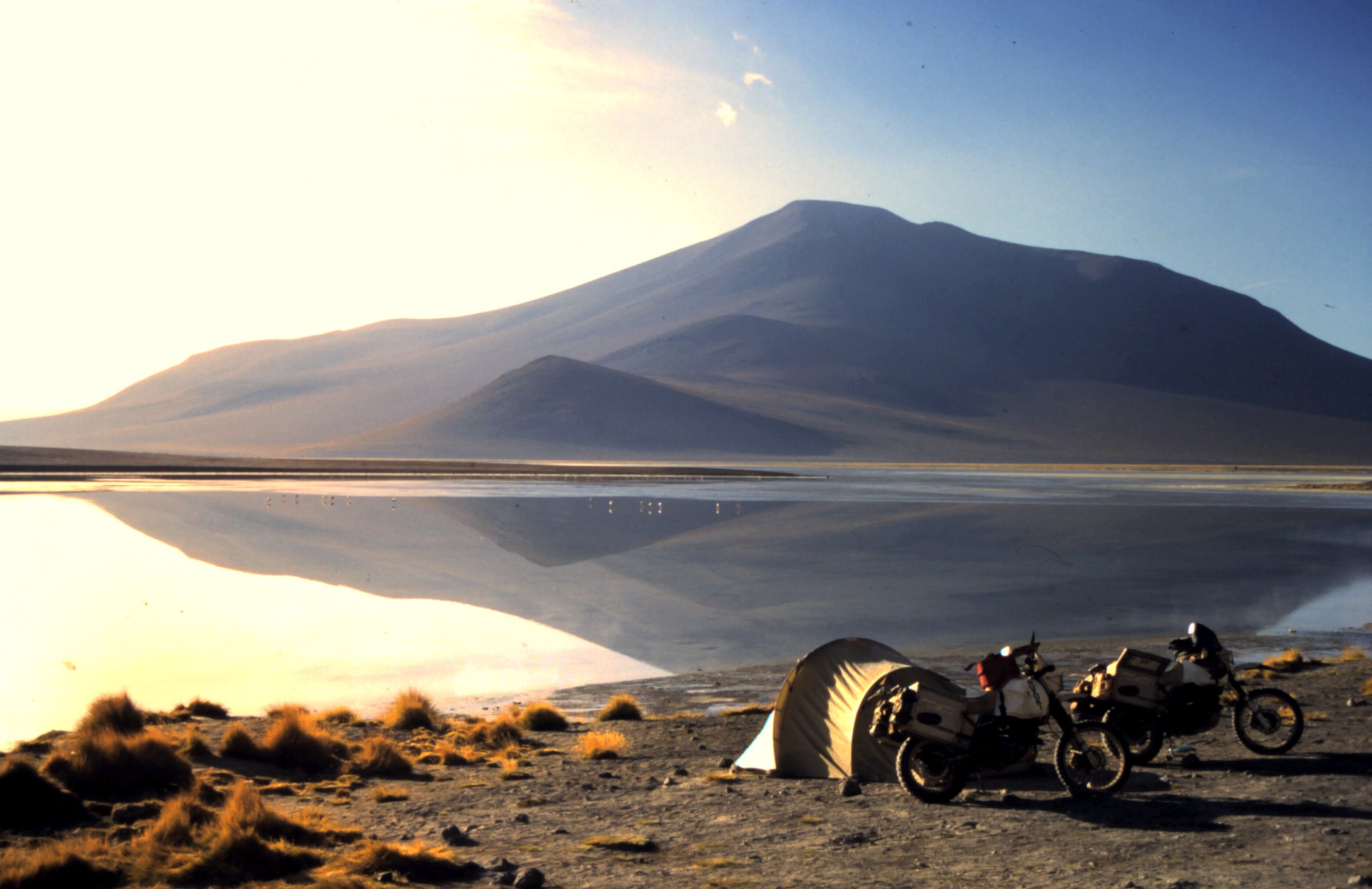
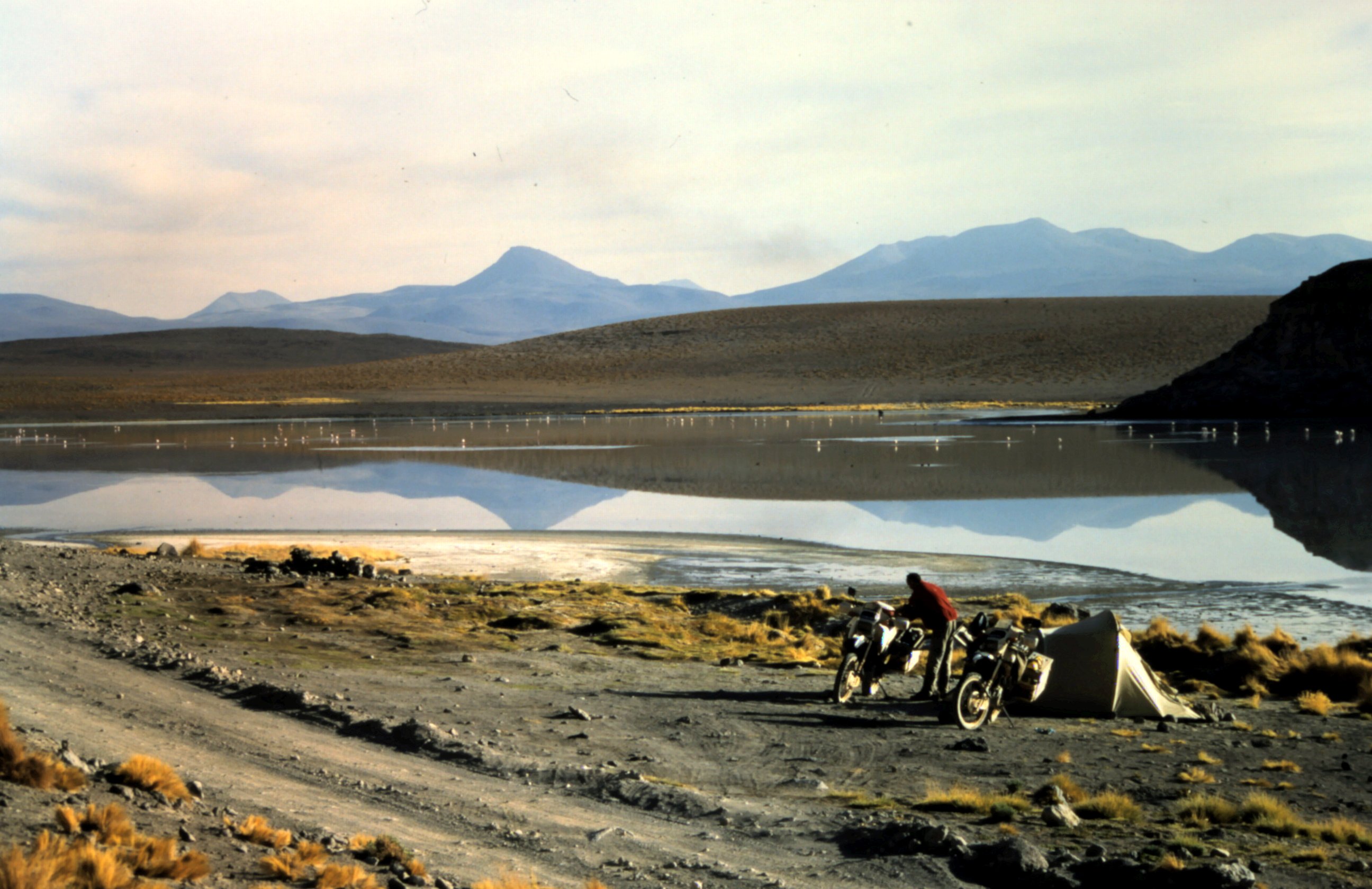
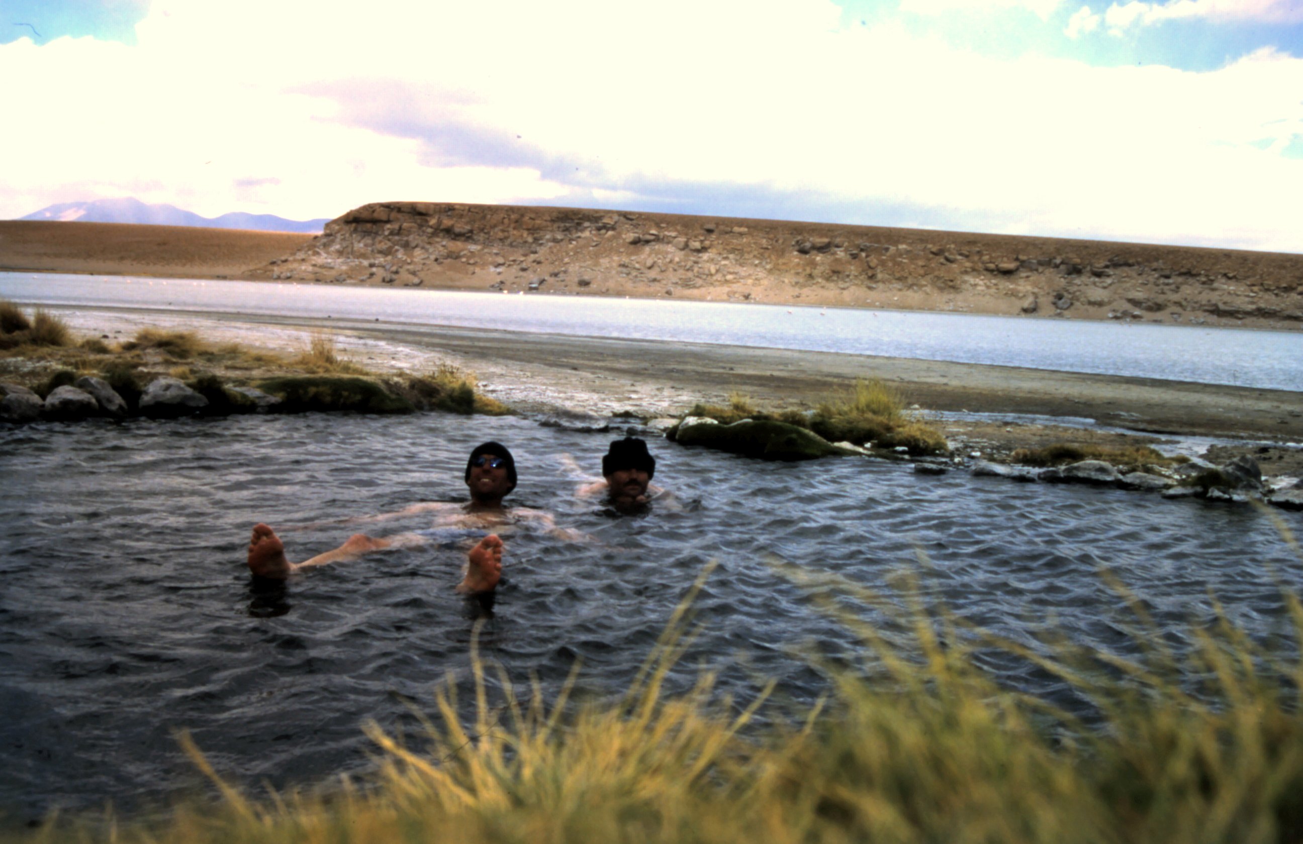
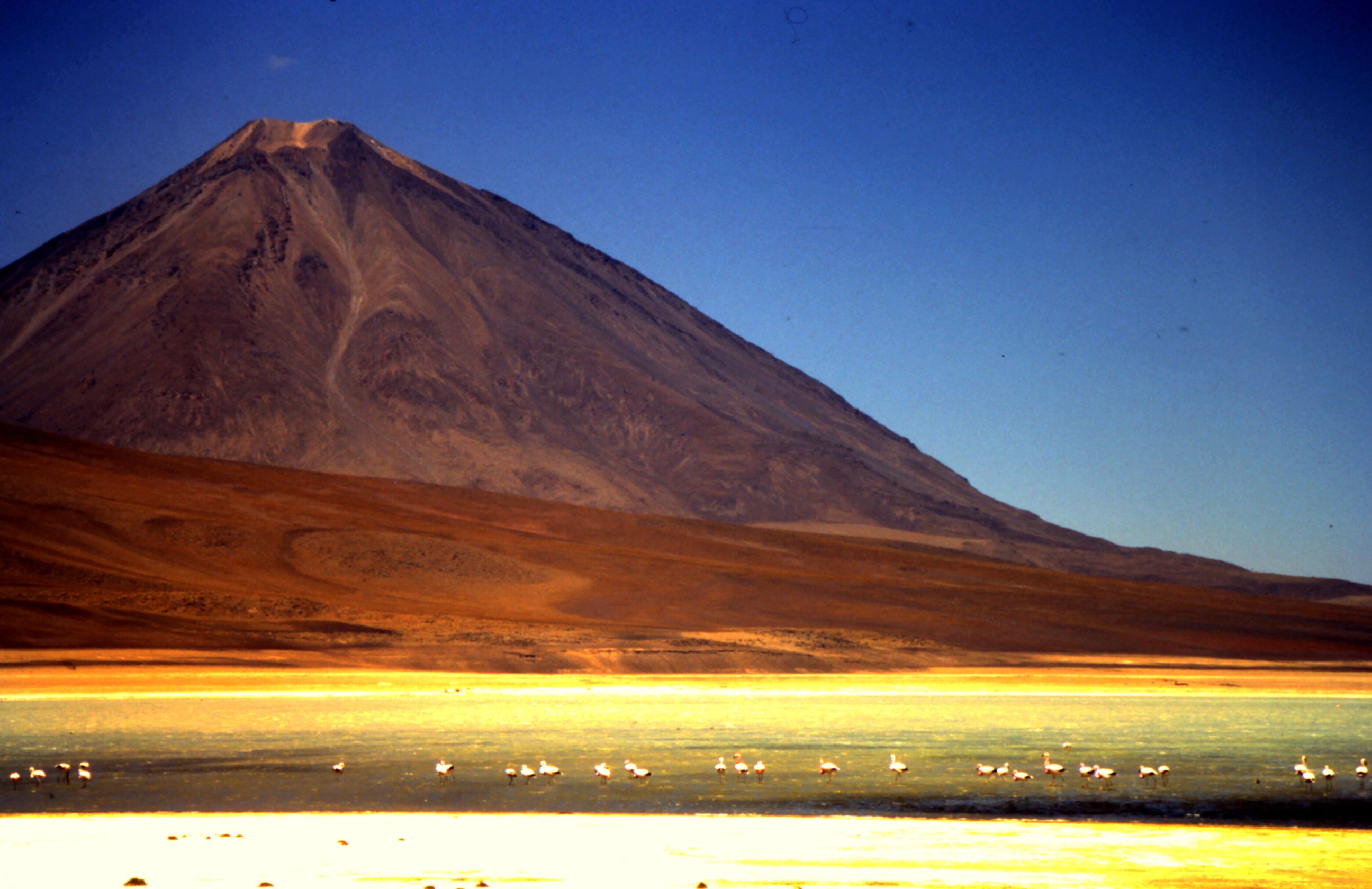
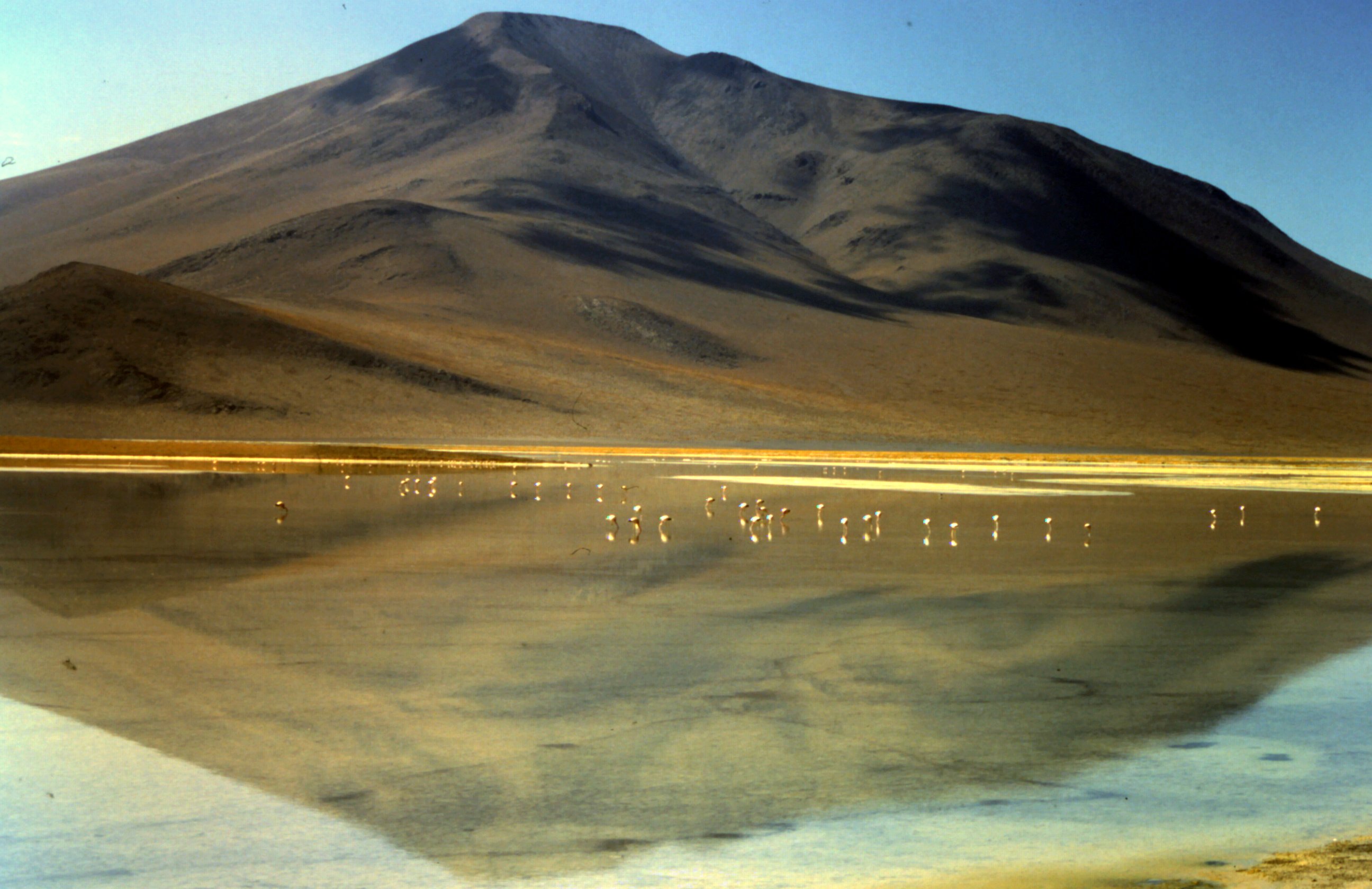
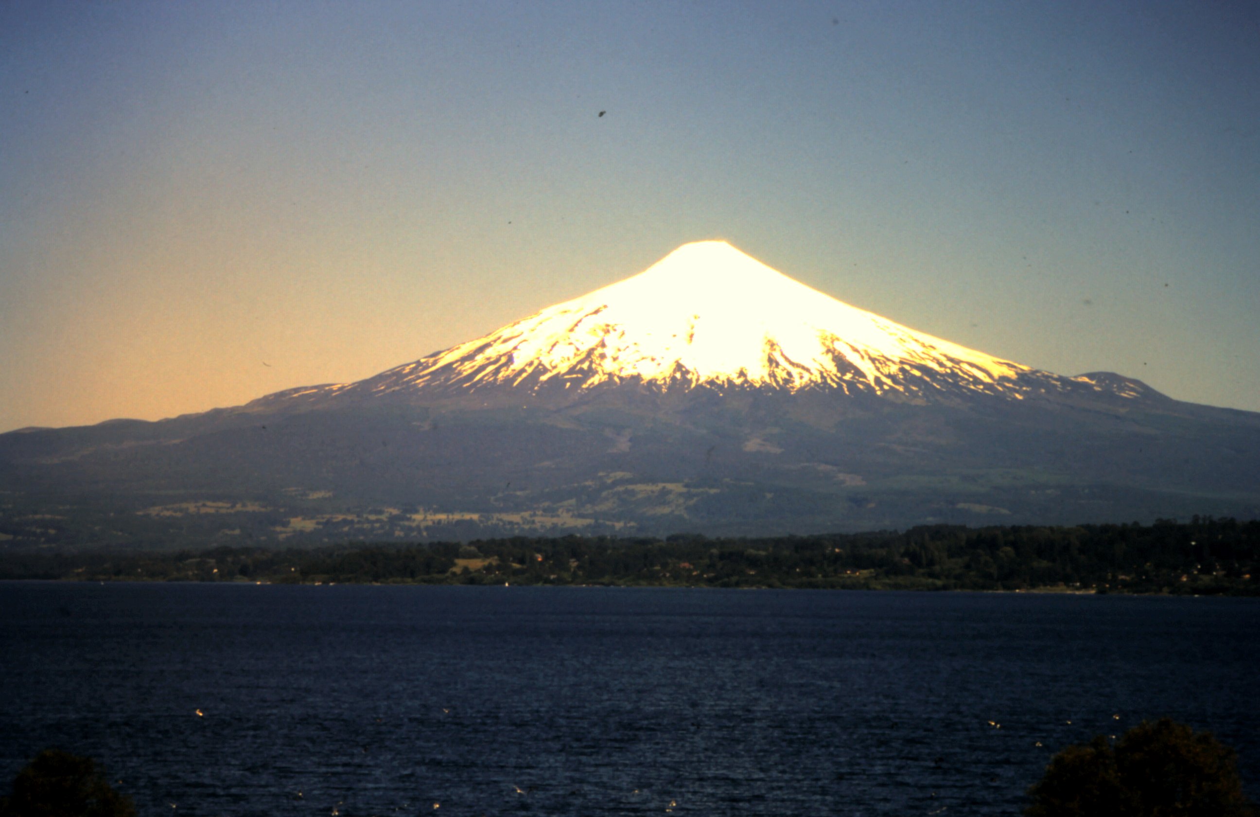
We fill up with fuel, water and food and make our way south. We pass a train cemetry with abonded locomotives. Arid landscape with snow covered mountains and blue sky, that is our view from our Suzuki's. Amazing! We pass several lagunas (lakes), laguna Colorada and laguna Verde and see many flamingos. This is so beautiful, that we decide to camp here. There is a hotspring and we take a dip to relax. The next morning there is no wind, flamigo's and a vulcano reflection in the water. What better view you can have at breakfast...?


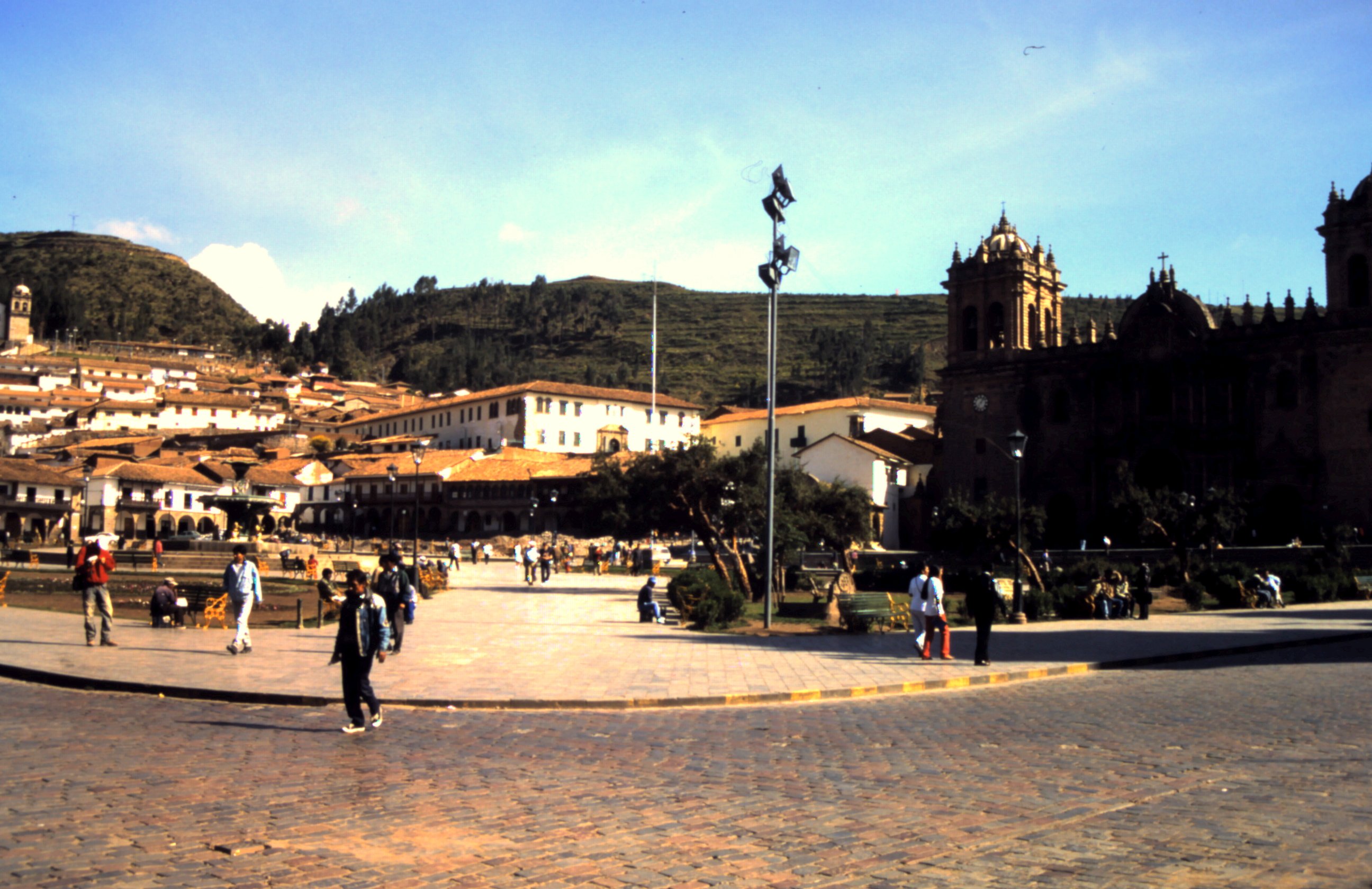

Machu Picchu.
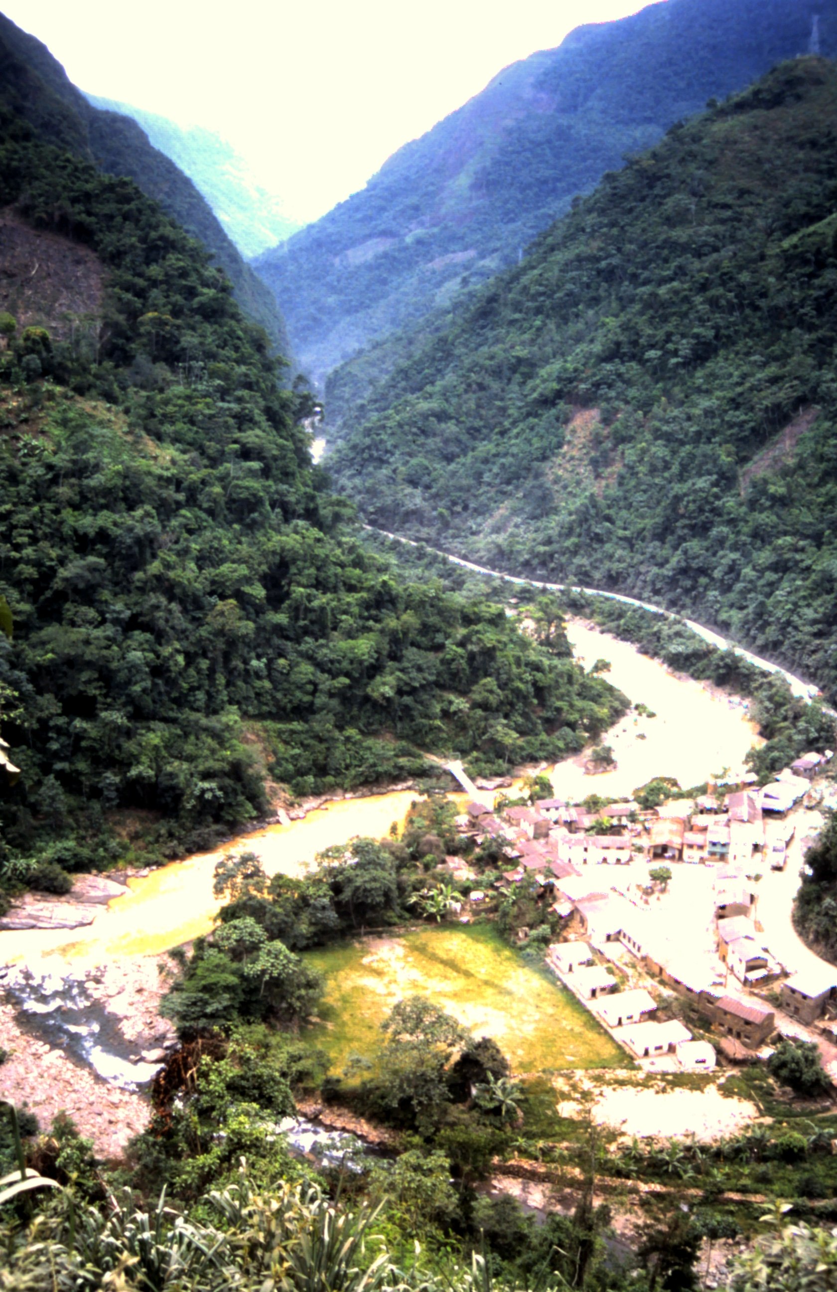
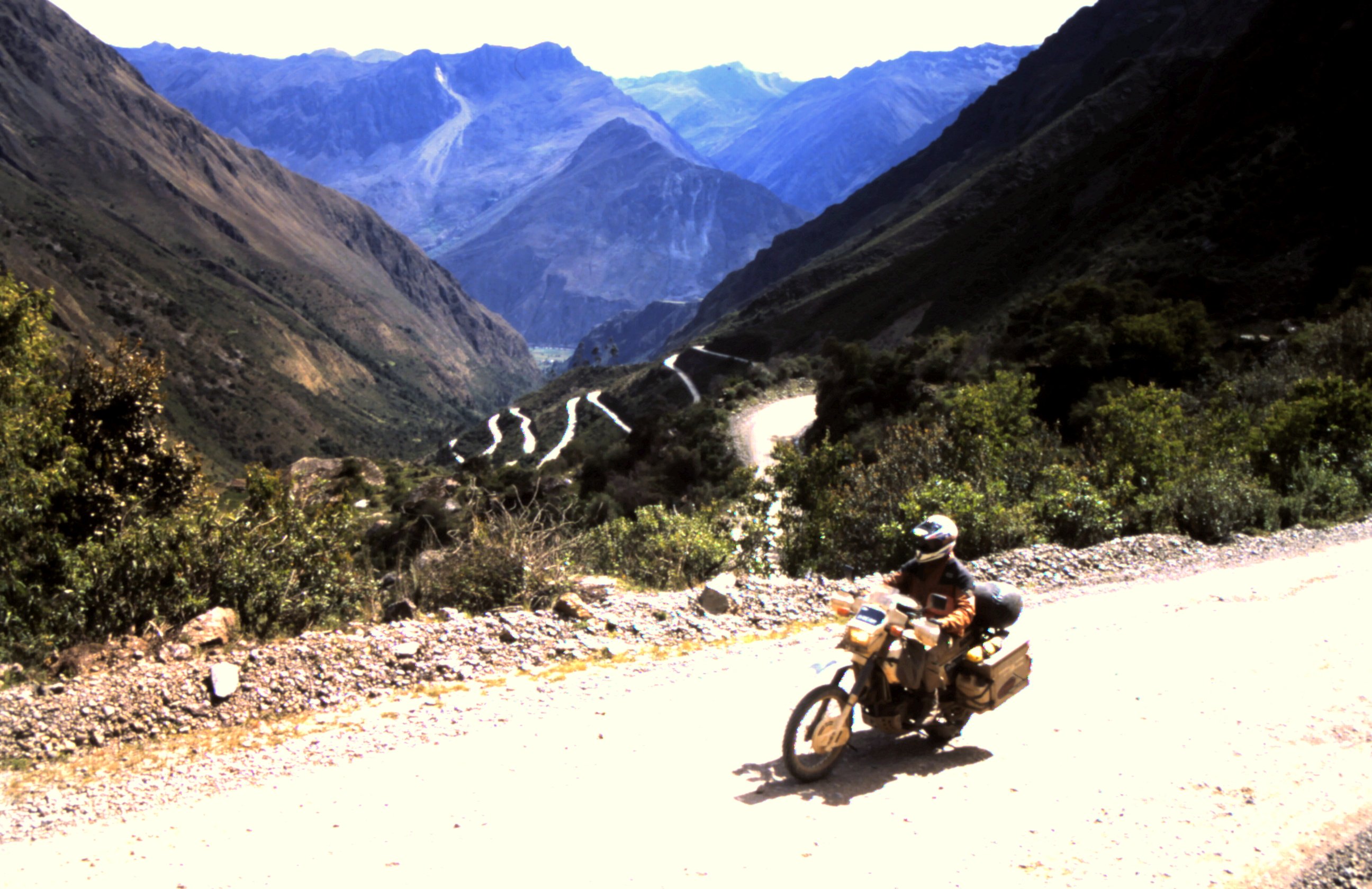
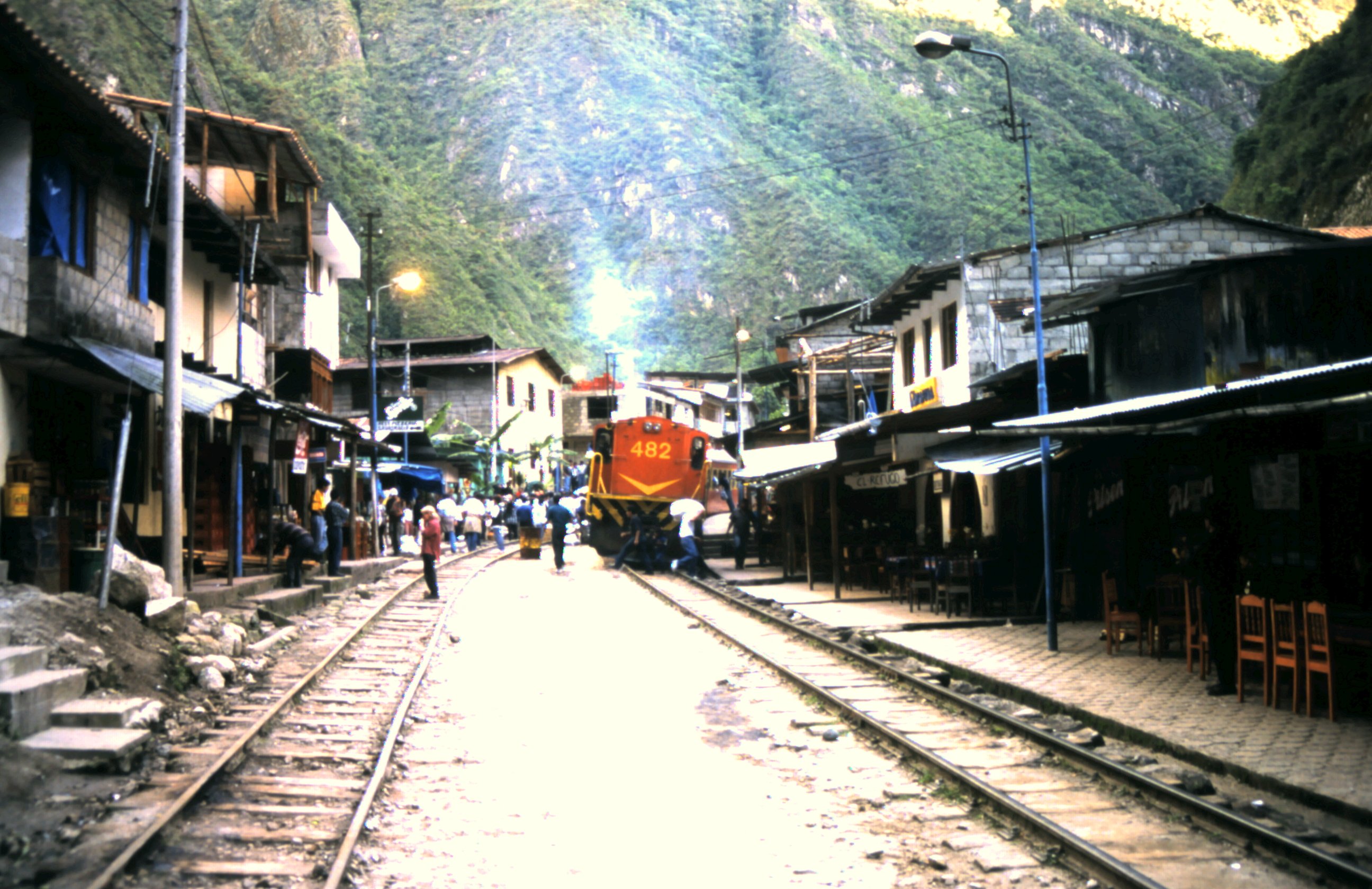
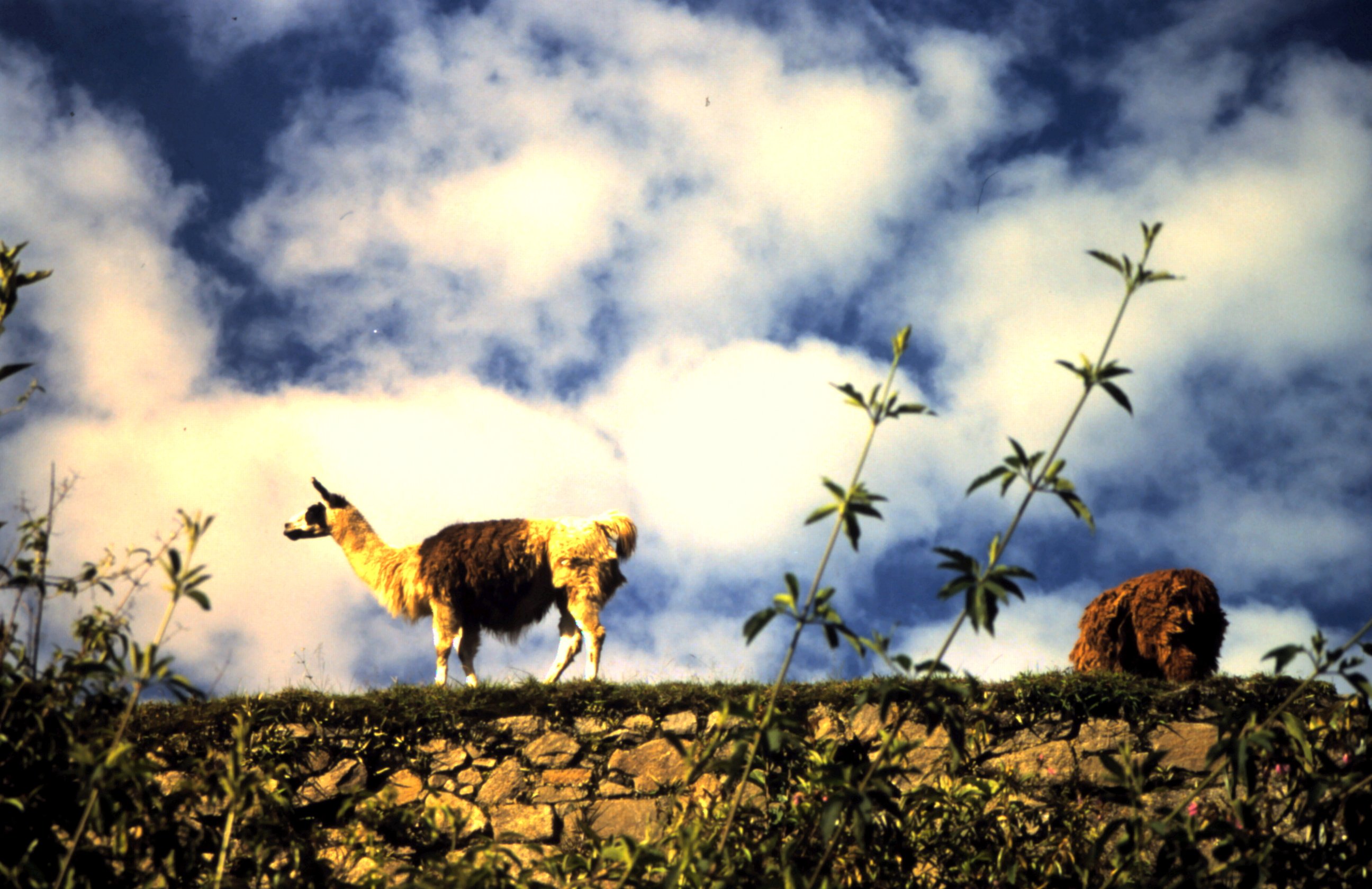
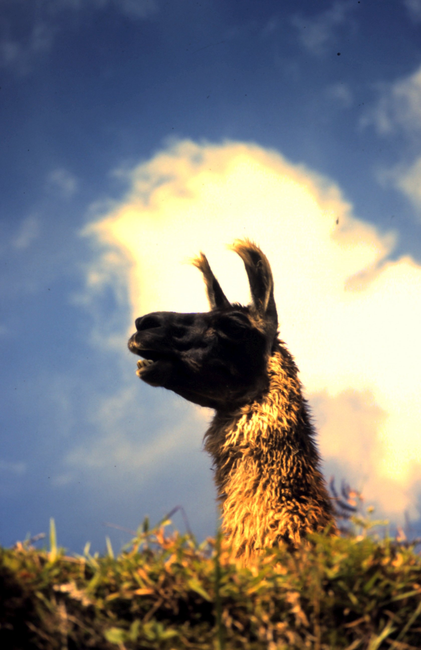
A cold wind takes us over the Altiplano in Peru. The land is desolate and we only see Guanaco's. These Llama like animals with thick fur are better equipped for the cold wind than us. After a hard day riding in the cold we pitch our tent and make a hot soup to recover. It gets very cold at night and in the morning the bikes and tent are covered with frost. It's a hard life for the Indians here. They keep sheep and lama's for meat and wool. A beautiful winding road brings us to Ollantaytambo, an old Incatown. People tell us that it is possible to ride on our bikes to Machu Picchu. So we follow a small road that later changes into a track. But we can go on. Then the track gets really narrow and ends and only a railway goes on. When we ride our suzi's on the railway kids start to shout and wave. We wave back. But suddenly we hear a horn and a train is heading to us. As quick as possible we move our bikes away from the railway track. Just in time...
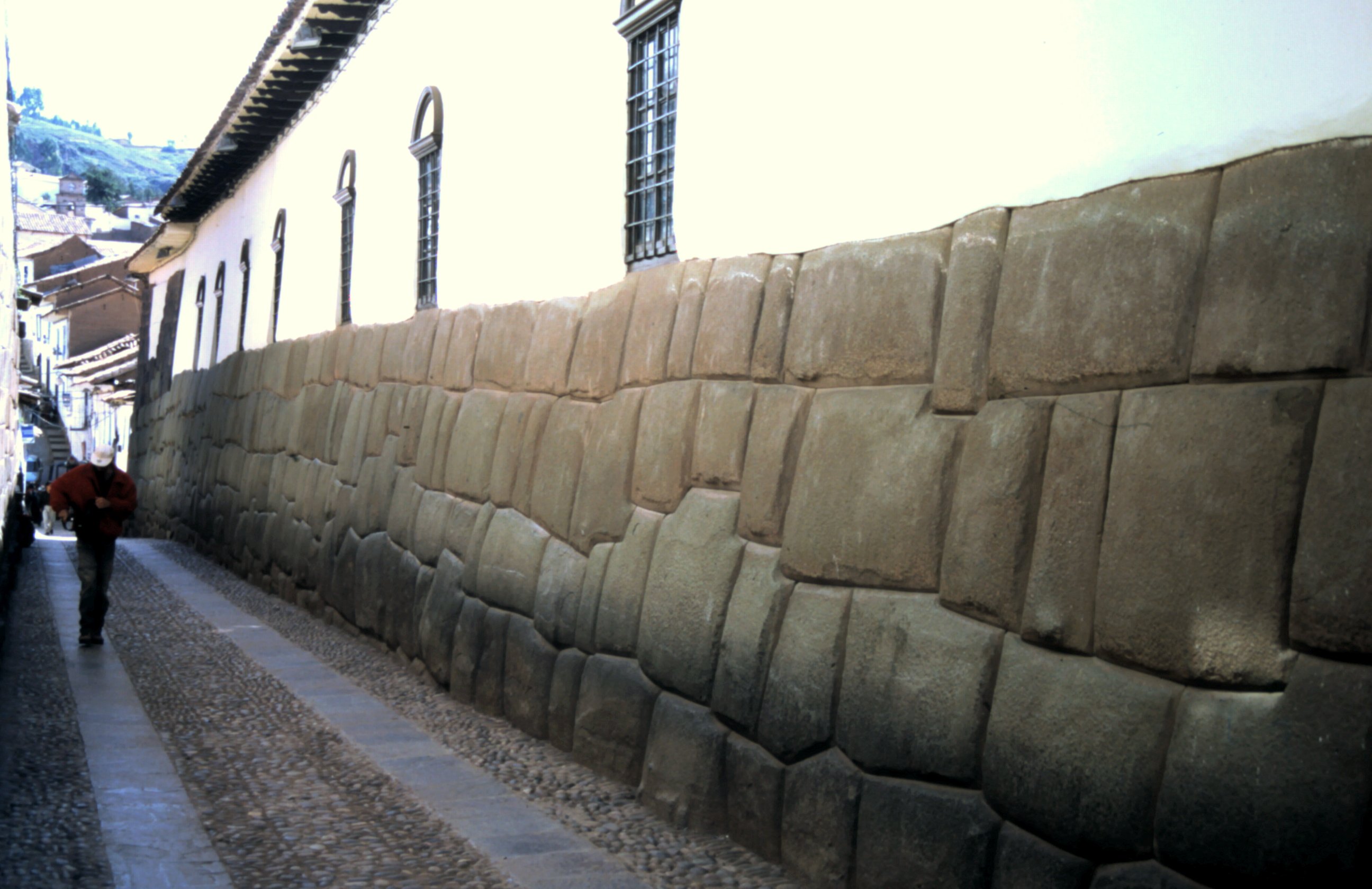
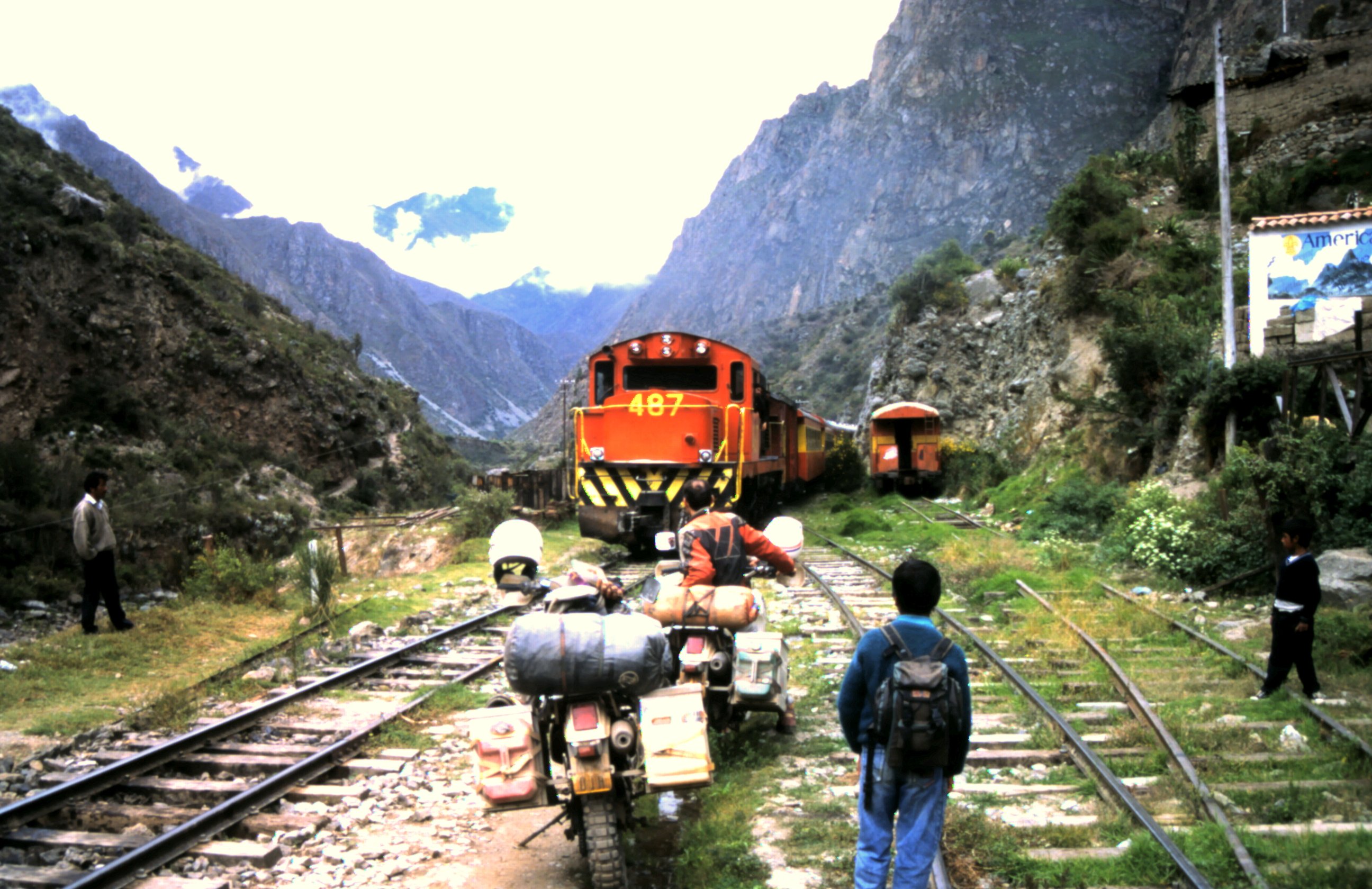
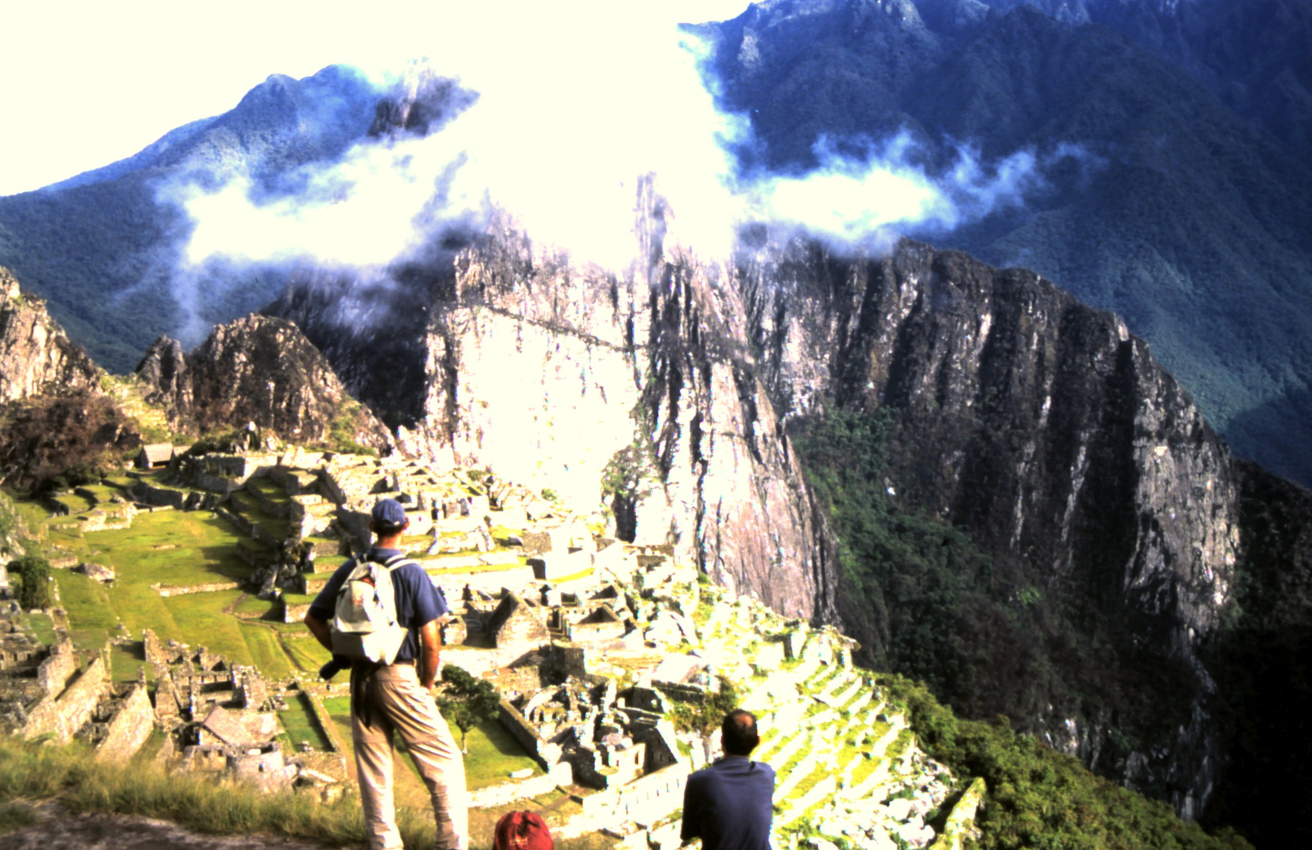
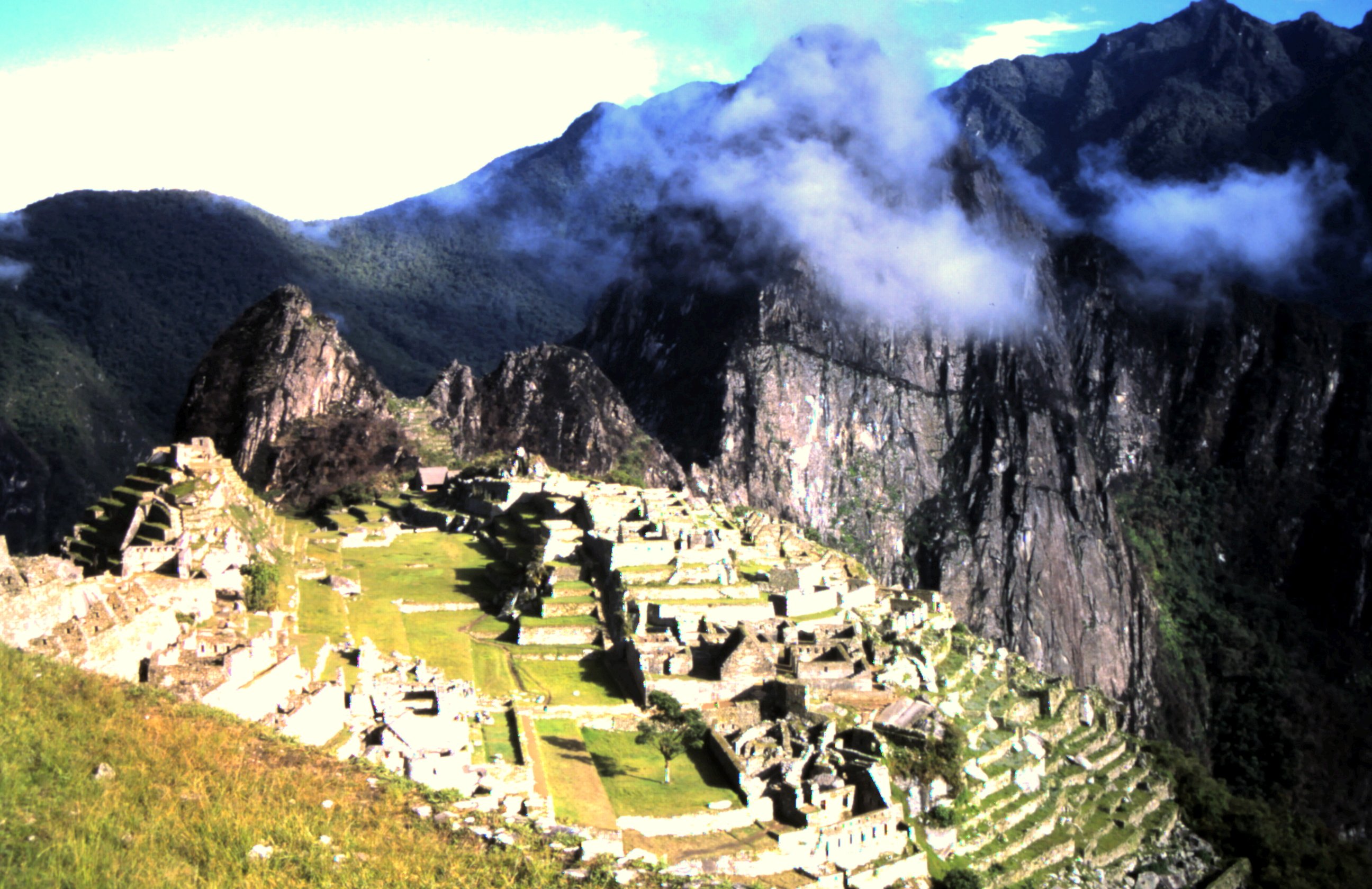
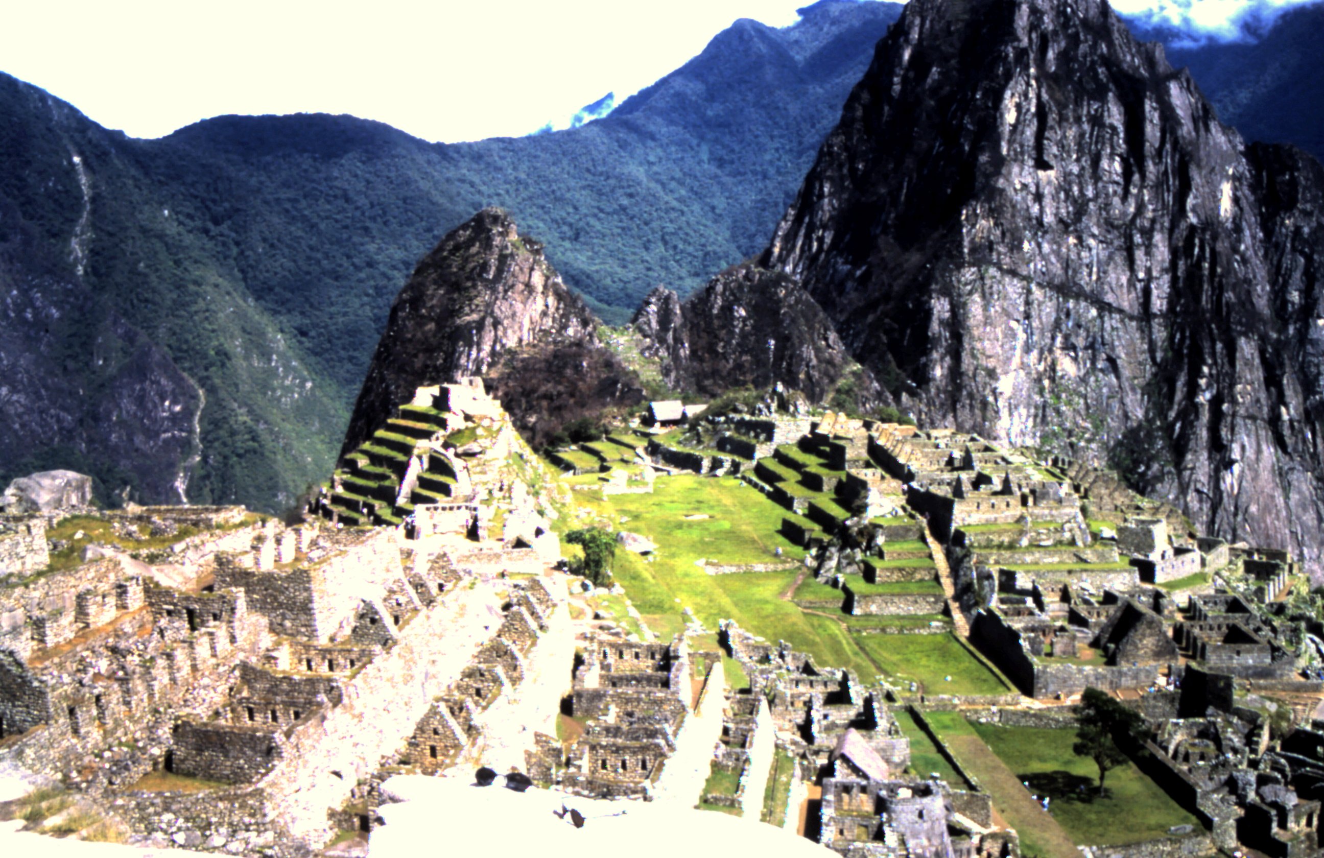
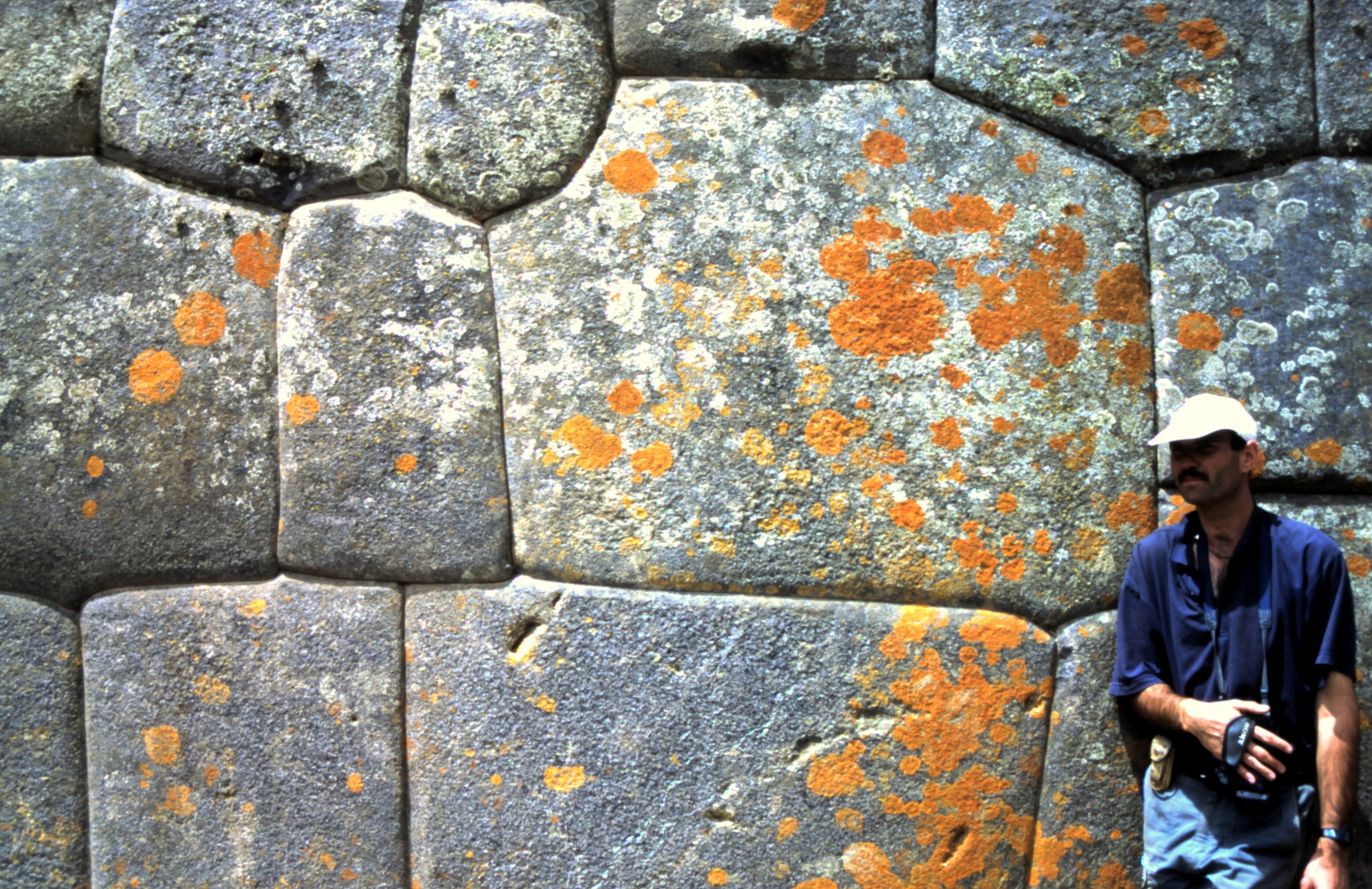
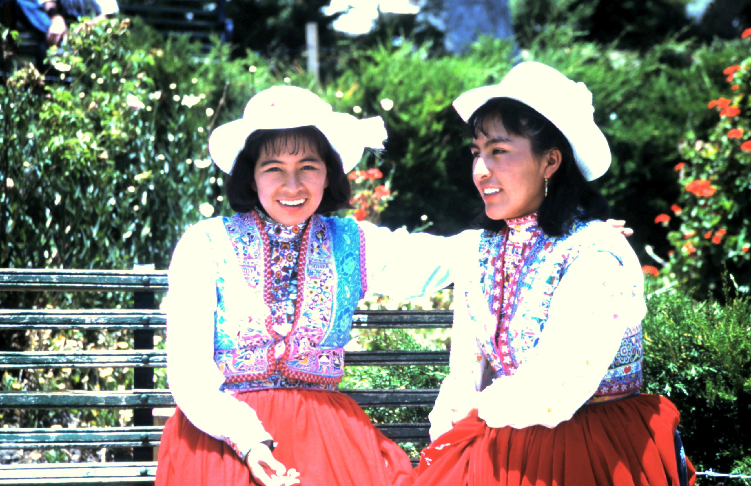
The next morning we take the local train from Ollantaytambo to Machu Picchu. Slowly the train crawls up the mountain. All the seats in the train are taken and we stand with 14 people at the platform of the train. A little boy who sell peanuts makes his way through us and climbes from our wagon on the outside to the other wagon... Machu Picchu is the most famous Inca ruin and is build on a high mountain saddle. On the slopes are terraces which the Inca's used for farming. The ruin is in a good state because the Spanish conquistadores did not discover it. It is only rediscovered in 1911 and after taken away the jungle a city appeared. A city of palaces, temples, houses, stairs and terraces. The big stones of the buildings are manufactured by the Inca's in such a way that they fit exactly on each other. Really amazing. When we walk around we can sense the mystics of the ancient Inca's.


End of the World.
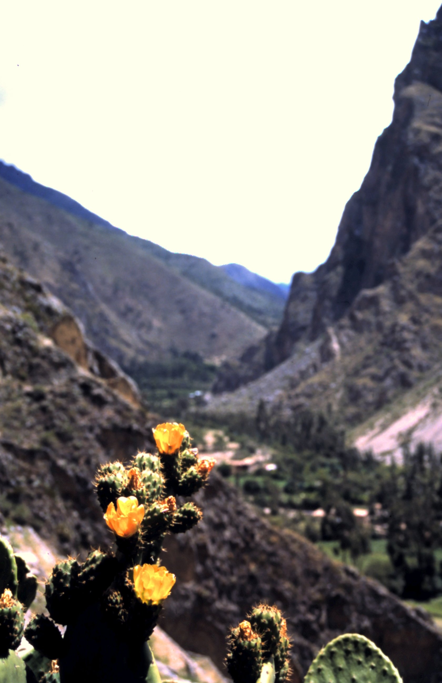
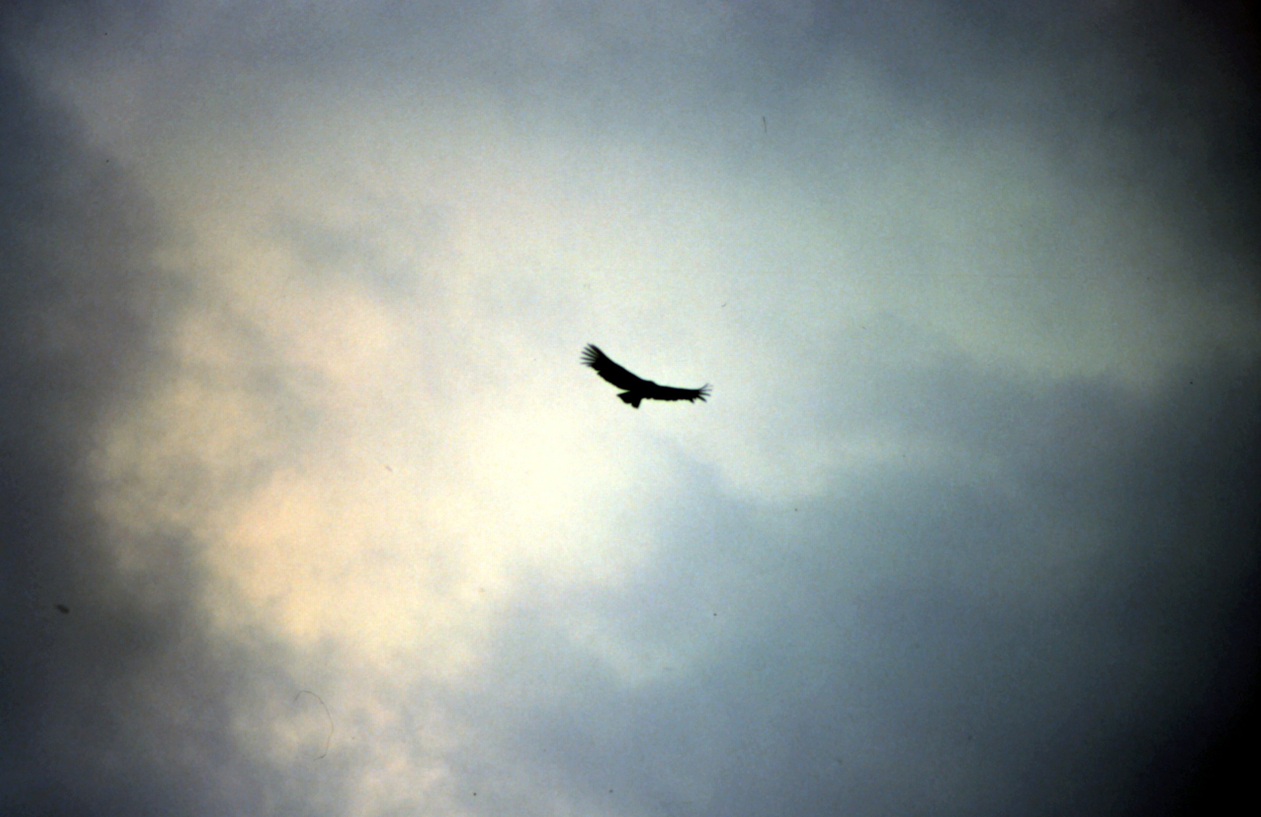
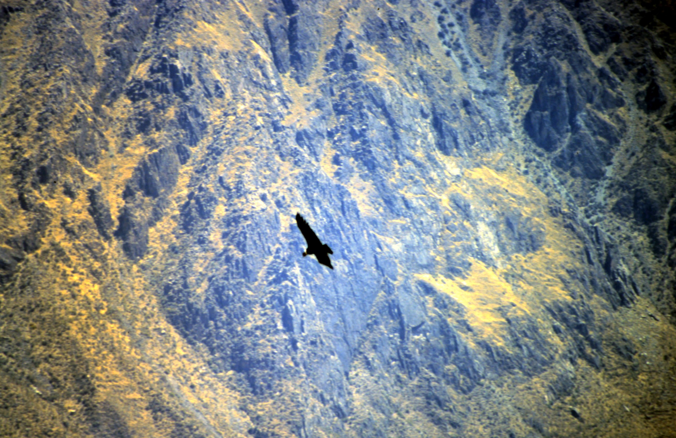
Many cacti are accompanying us on the gravel road into the Colca Canyon. The canyon is twice as deep as the Grand Canyon in the USA. But we come here to see the condors. At Cruz del Condor is the place to spot them. We look out into the canyon but no condors. We decide to camp here and try out our luck the next morning.
A warm cup of coffee warms my hands in the cold morning. When the sun is strong enough to heat up the air we see the first condor in the distance. It's hovering around and comes closer. Then the condor flies straight over us and looks down to us. What a majestic view. We can see clearly the white band around his neck. Then Udo sees in his eye angle his DR600 and realize that she is his "wings" to travel around the world. This is a special feeling.
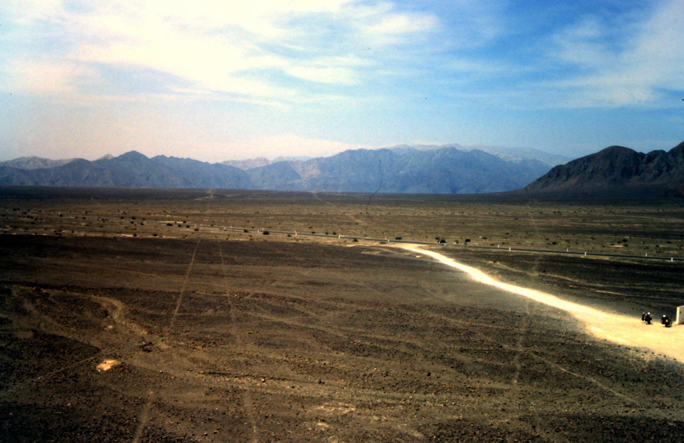
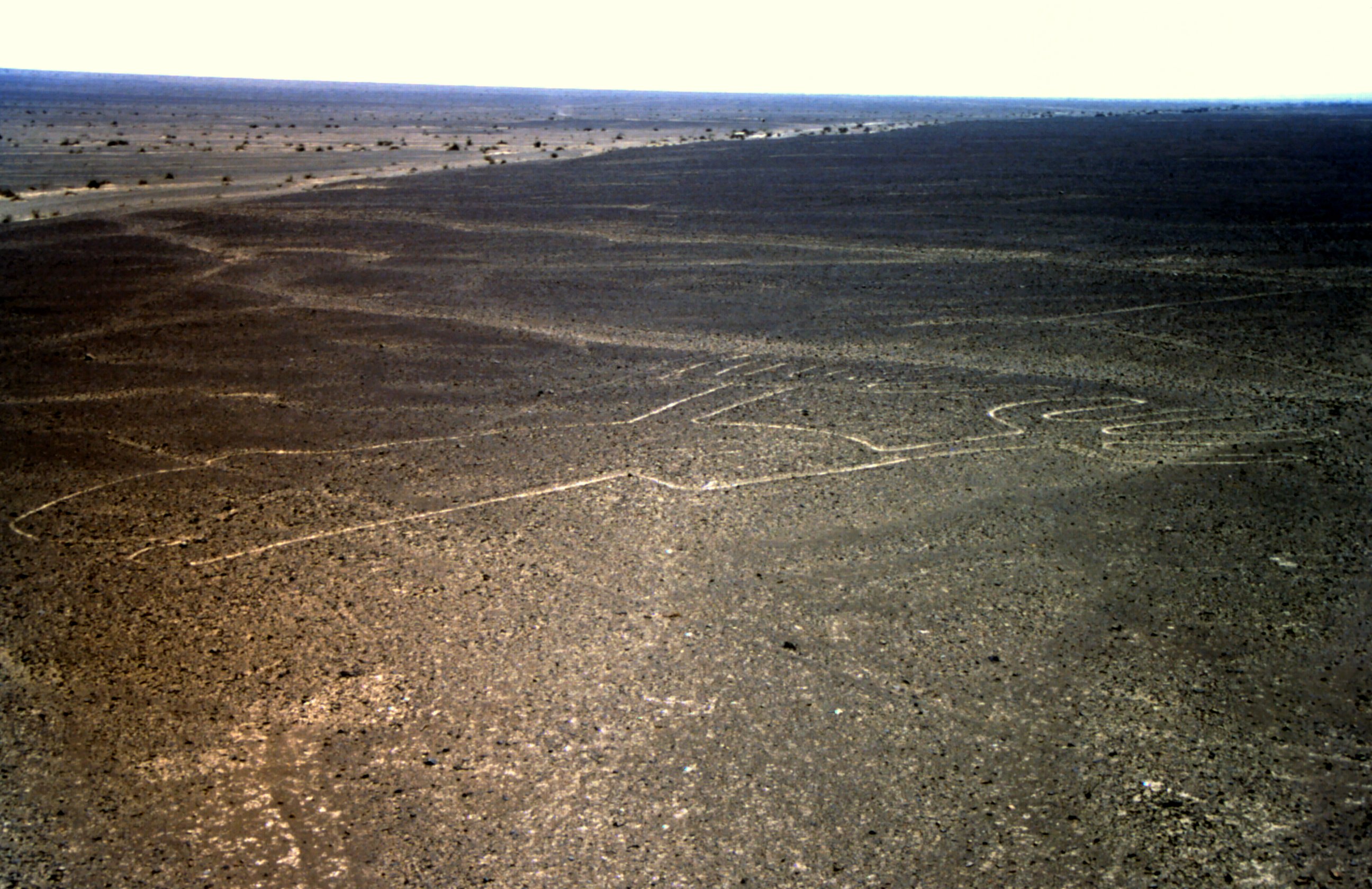
In Peru the Pan American Highway cuts trough the Nazca lines. These are a series of large ancient geoglyphs. Long straight lines cross the desert, but more interesting are the figures, like spider, monkey and hummingbird. It is believed that they are created between 500 BC and 500 AD.
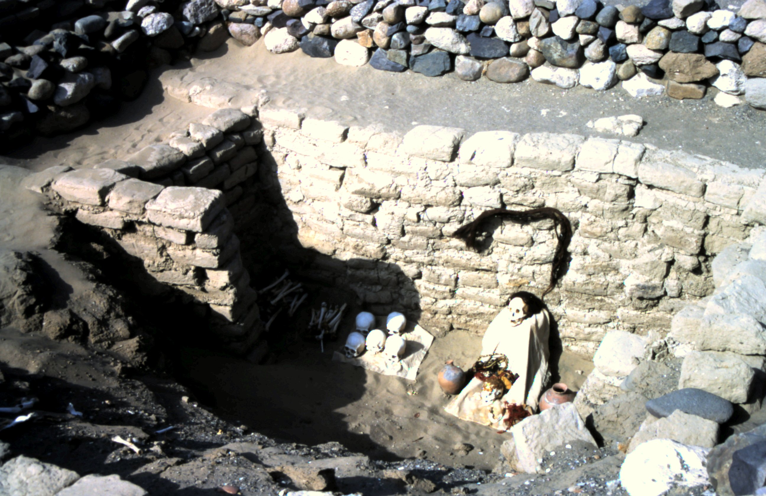
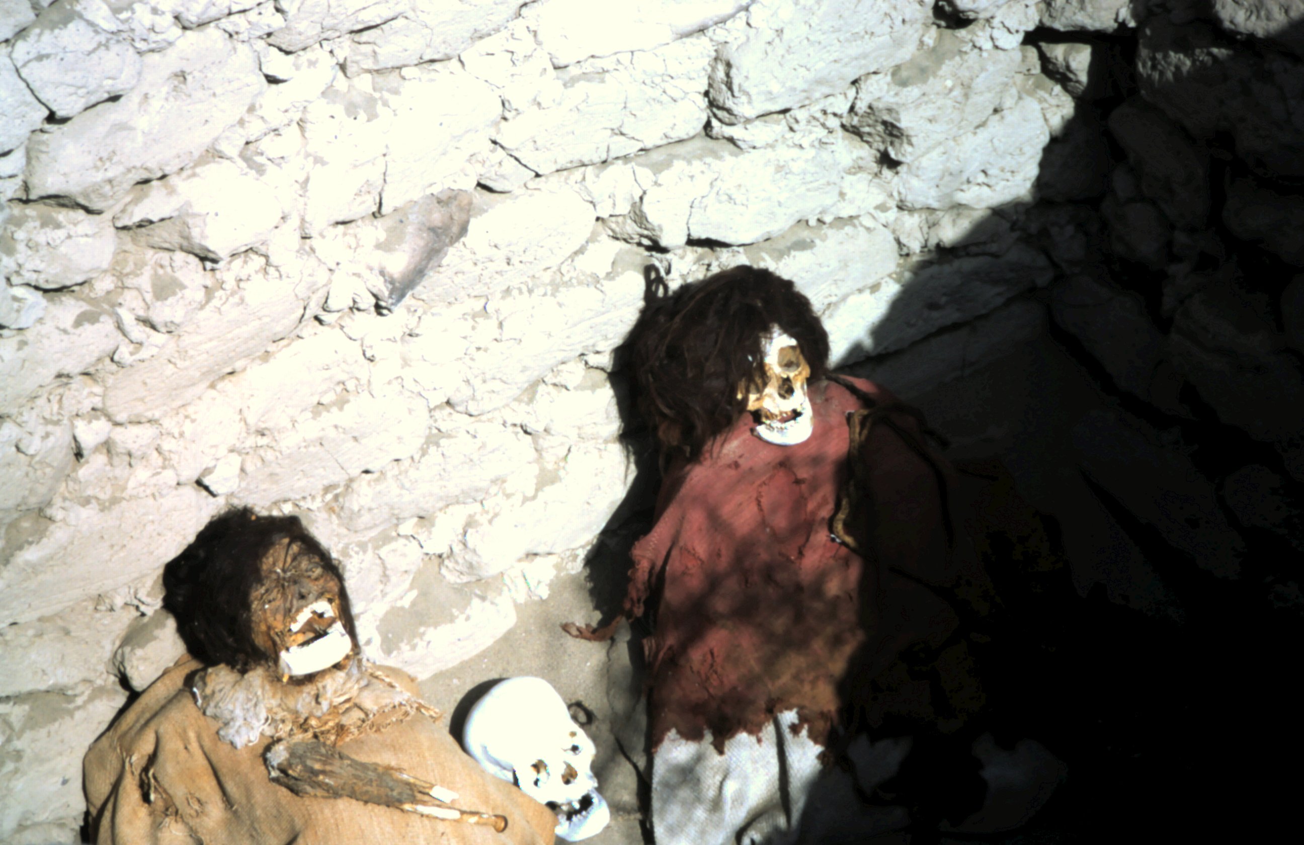
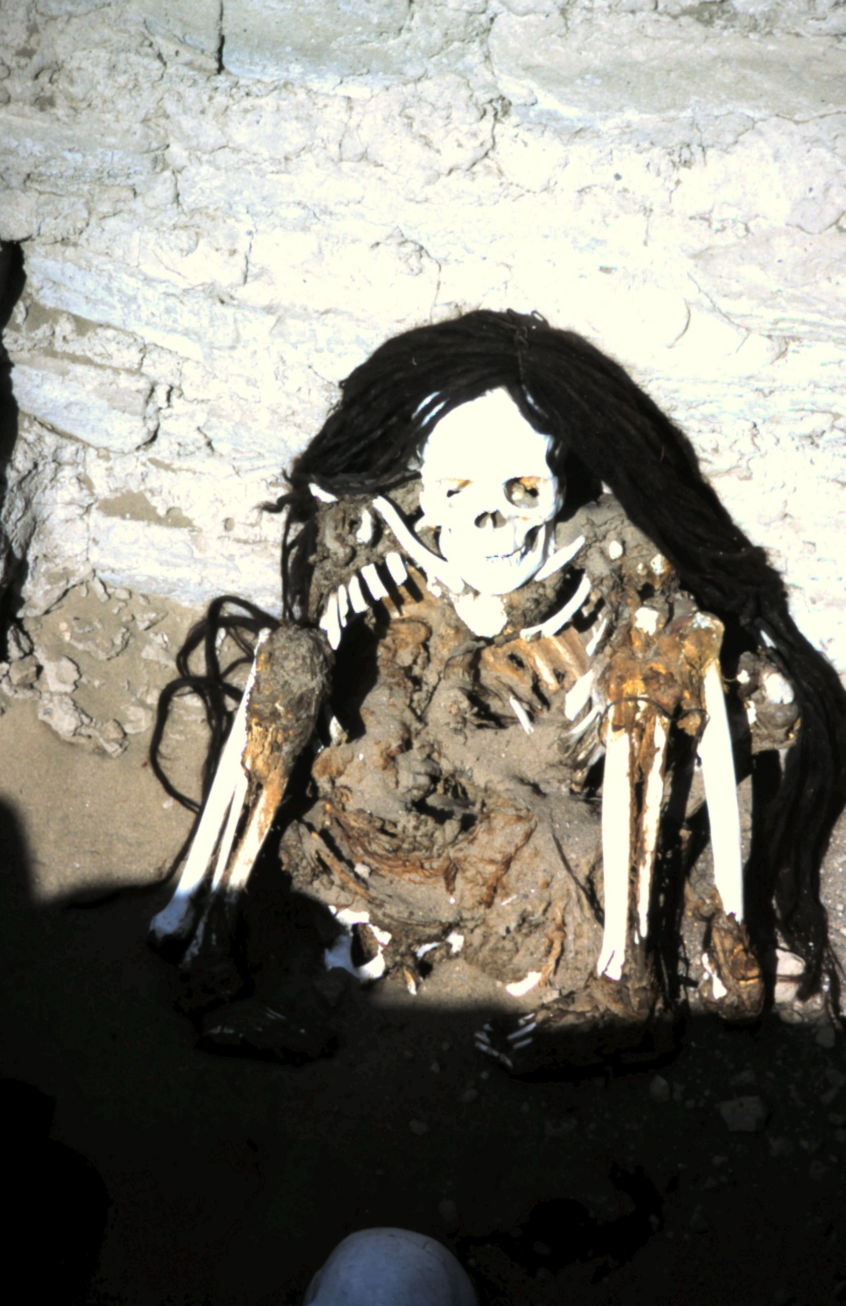
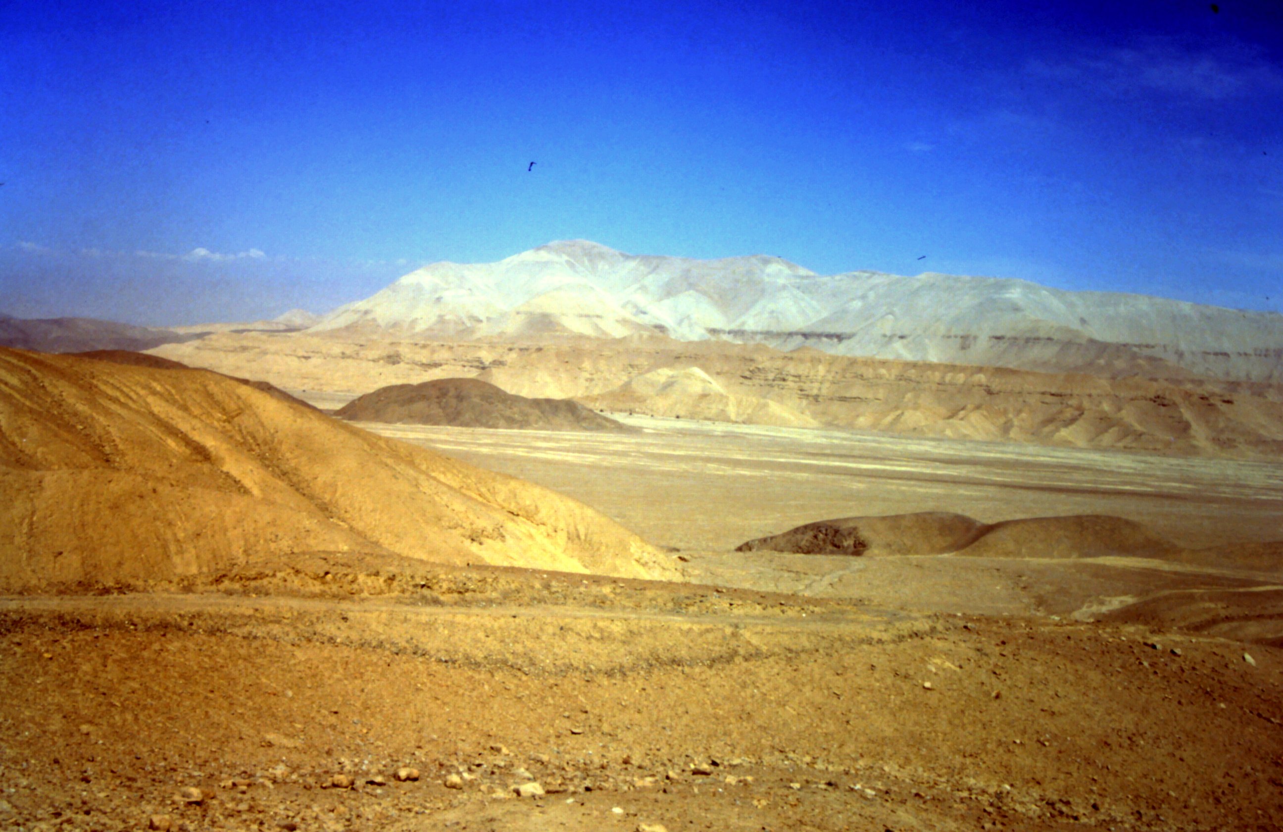
The black highway contrasts with the sandy color of the arid Atacama desert in Chili. We visit the Chinchorro mummies, that are buried in open graves and are mummified by the dry air. They are dated 5000 BC.
At the sculpture "The hand of the Desert" we find a nice place to camp for the night.
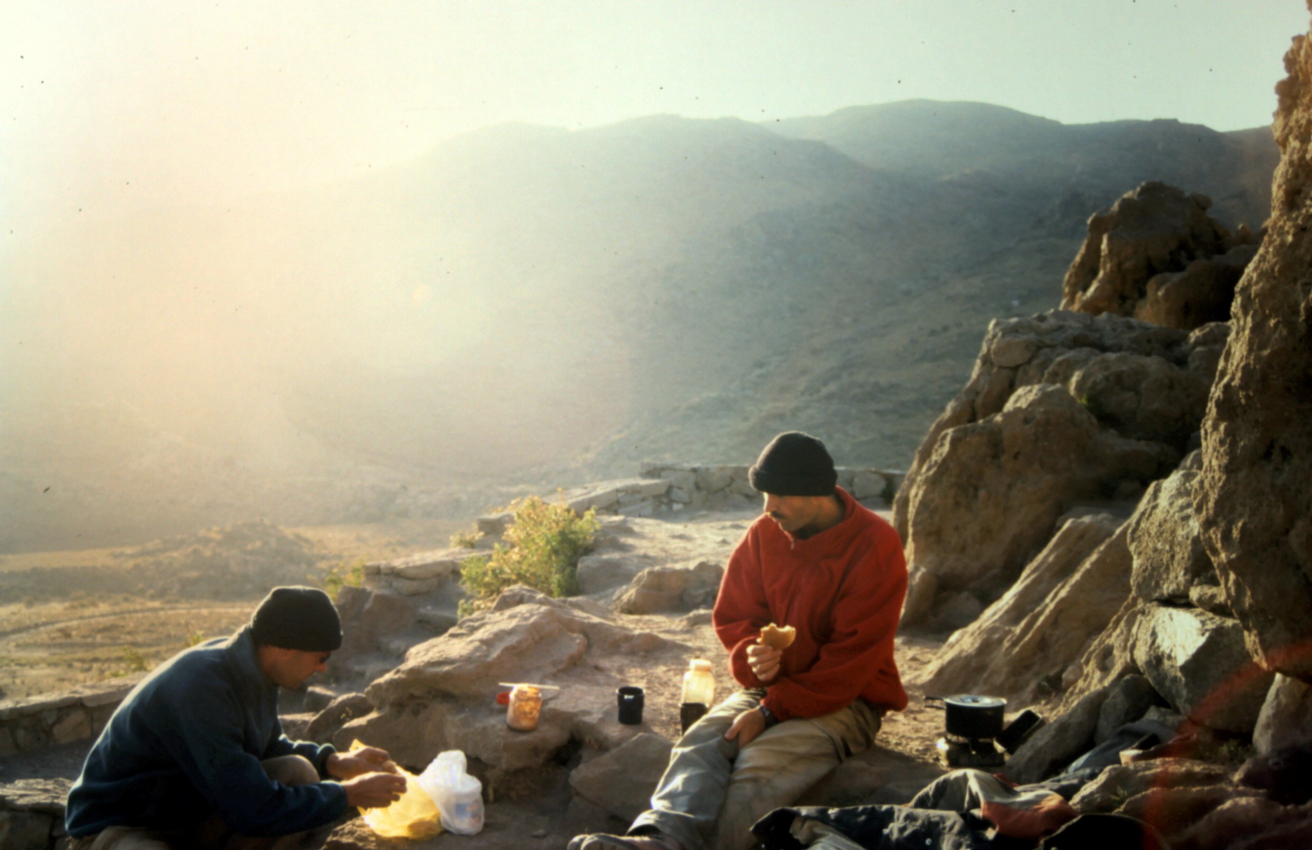
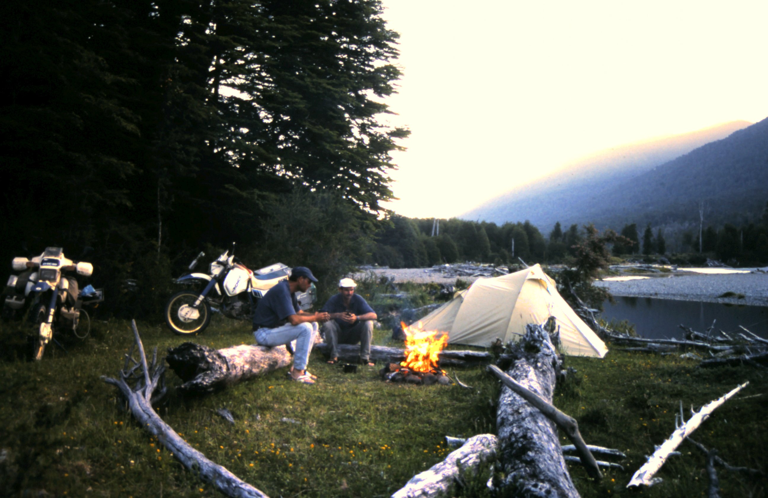
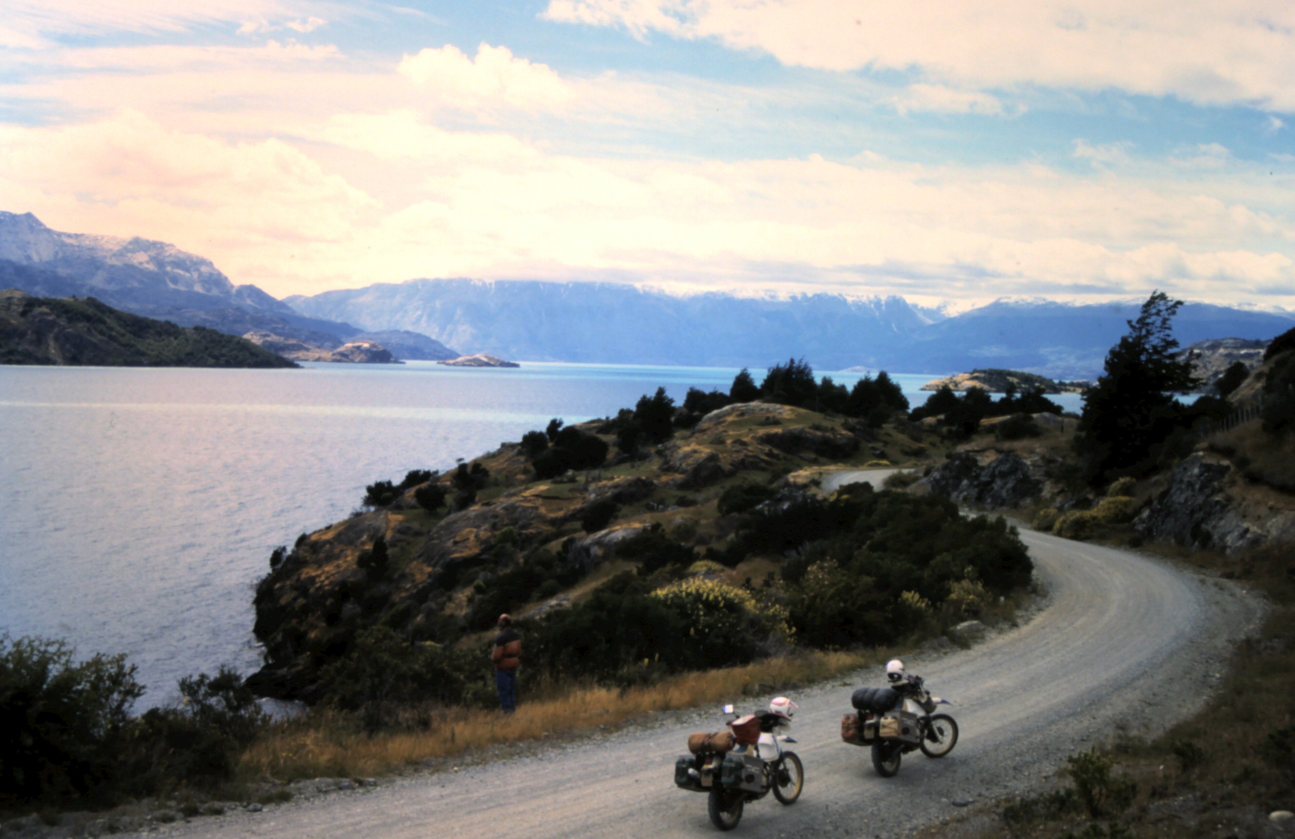
We continue our route south. In Puerto Montt we start the Carretera Austral. The gravel road winds through deep green forests, once a while we pass a little farm, see several glaciers and in the river streams clear water. We are riding on the Carretera Austral in Chilean Patagonia. When in the afternoon the sun begins to shine it is too beautiful to move on. We pitch our tent near a river and make a campfire. Hot coffee, some toasted bread and a couple of barbequed sausages makes it complete. What can simplicity be beautiful.
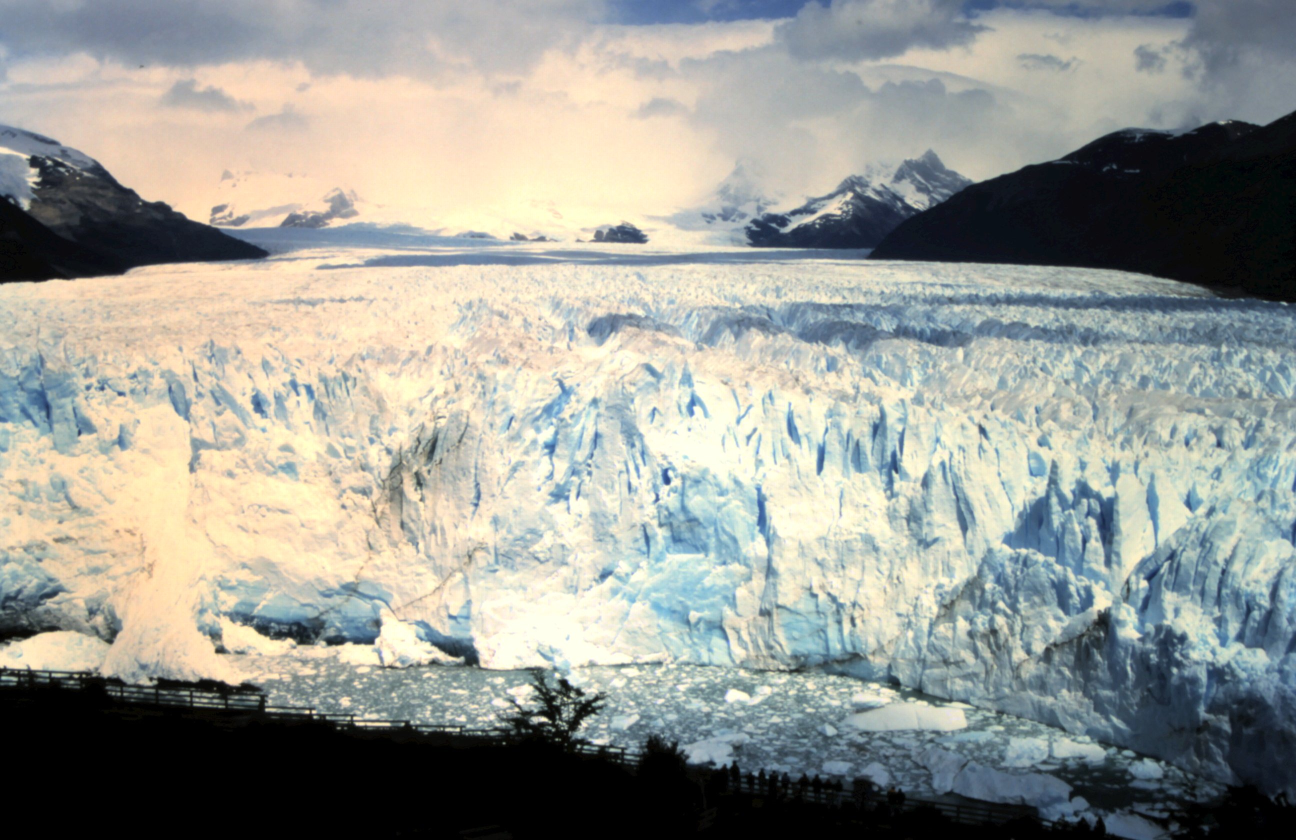
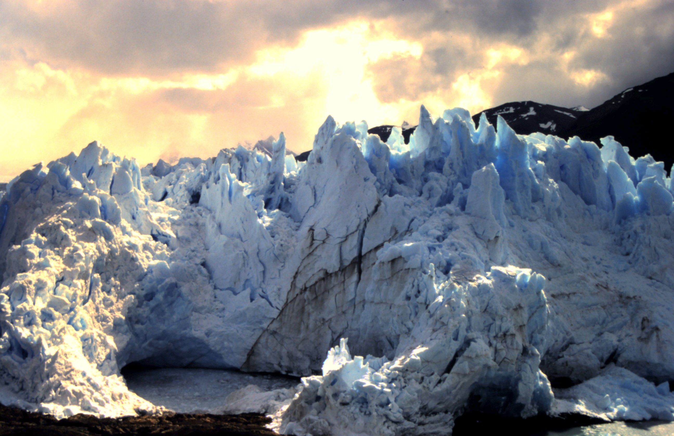
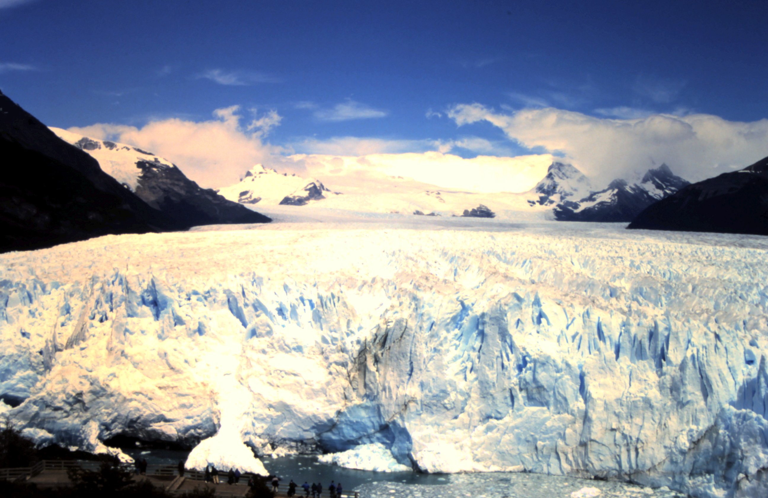
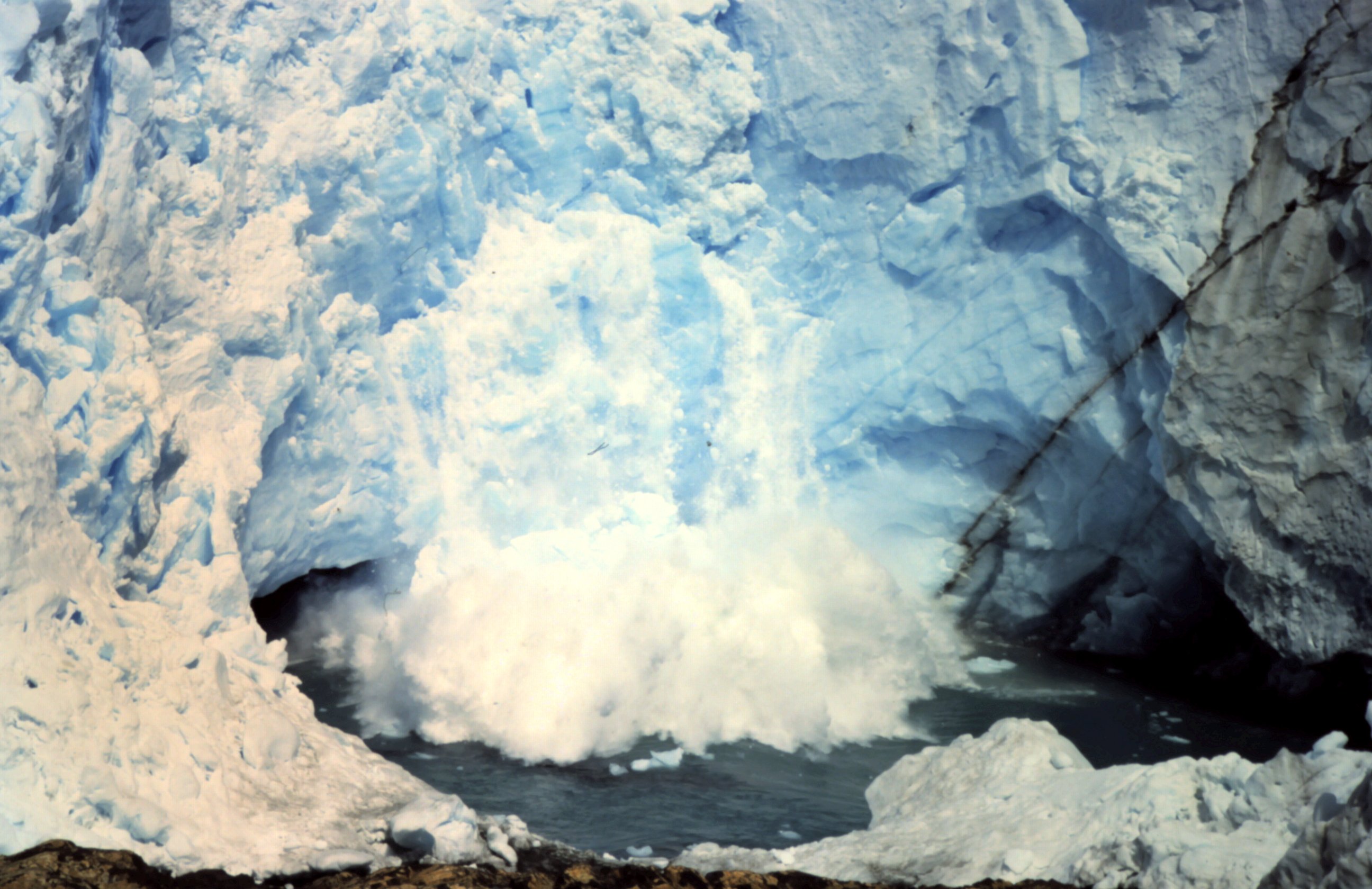
The Patagonian wind blowes us to Los Glaciers NP in Argentina. Here is the outrages beautiful glacier Perito Moreno. With a length of 14 km, a width of 4 km and 55 m height it is one of the few glaciers in the world that is still growing. In one day it shifts 2 meters. And this is why the glacier is so spectacular. Under loud cracking sounds huge pieces of ice are falling down and with a thundering sound it hits the water.The sun rays makes the glacier illuminate blue between the ice peaks. This naturally phenomenon is so beautiful that we watch it for two whole days.
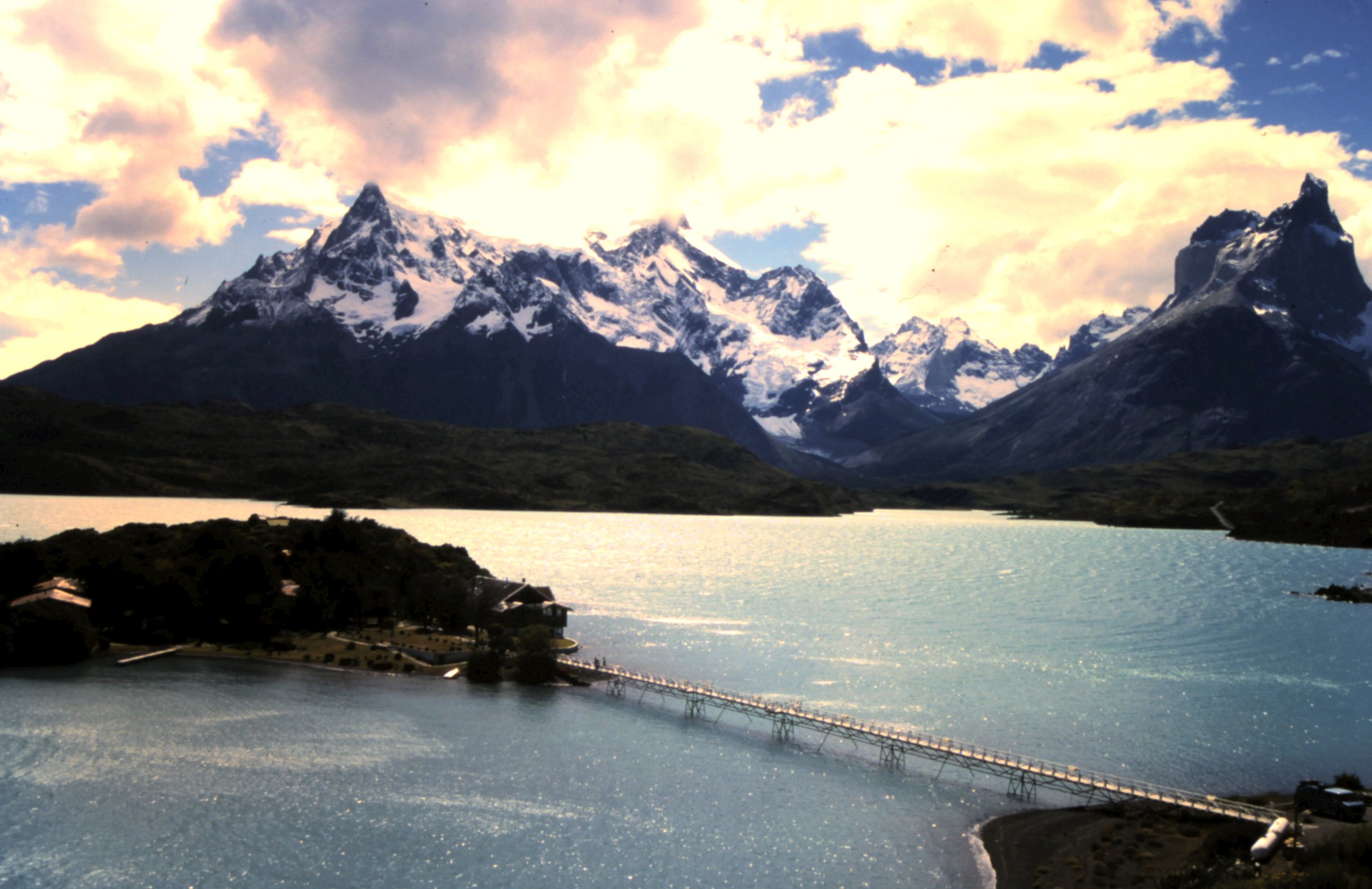
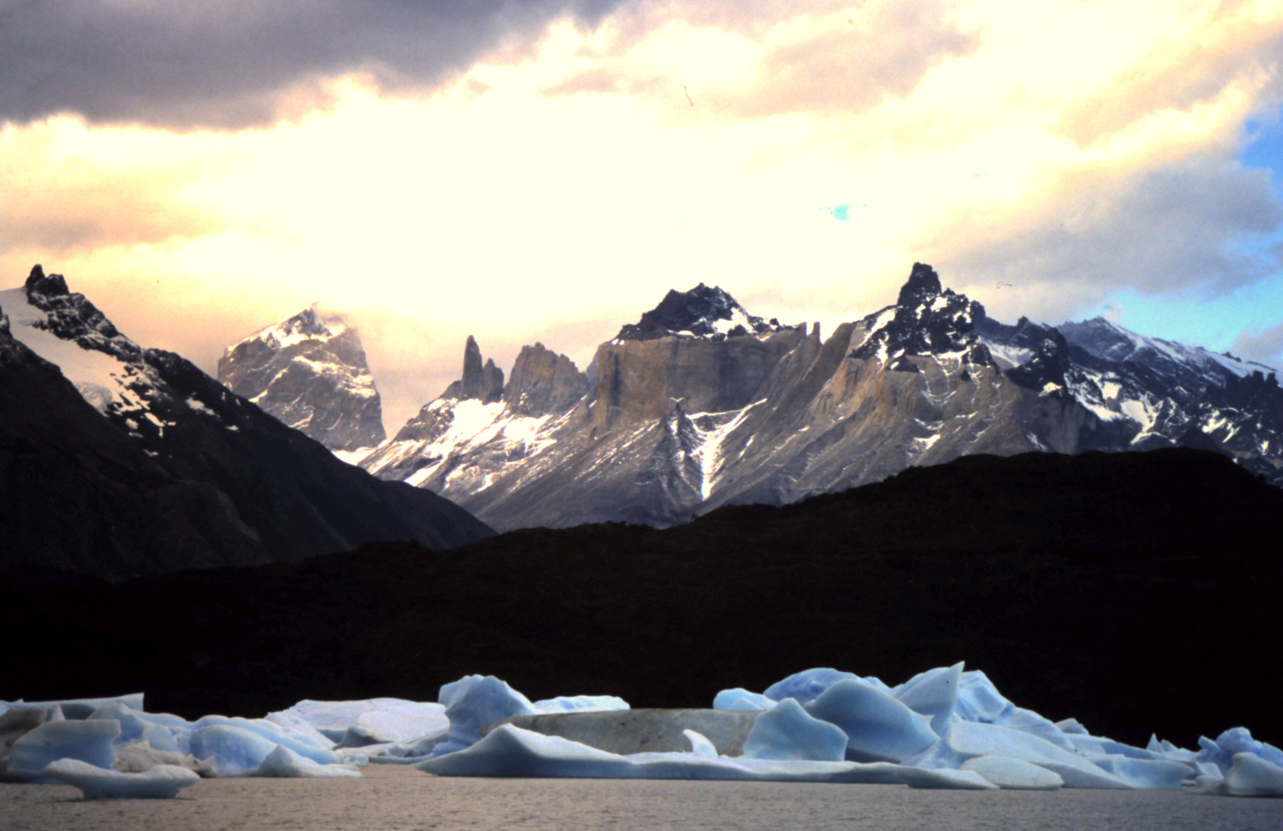
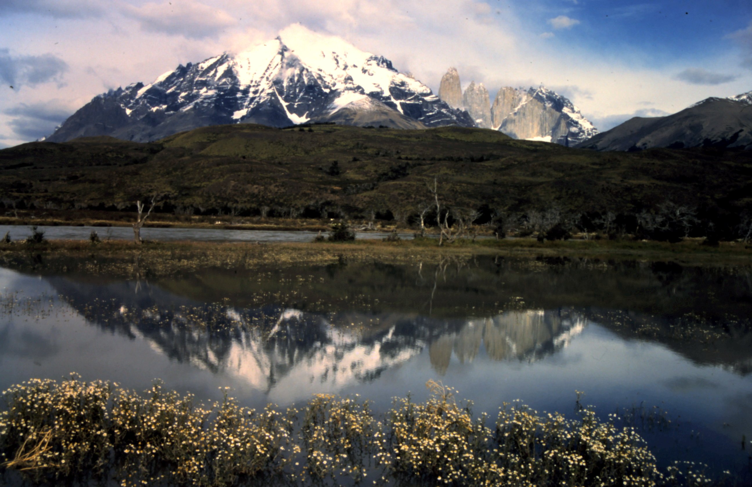
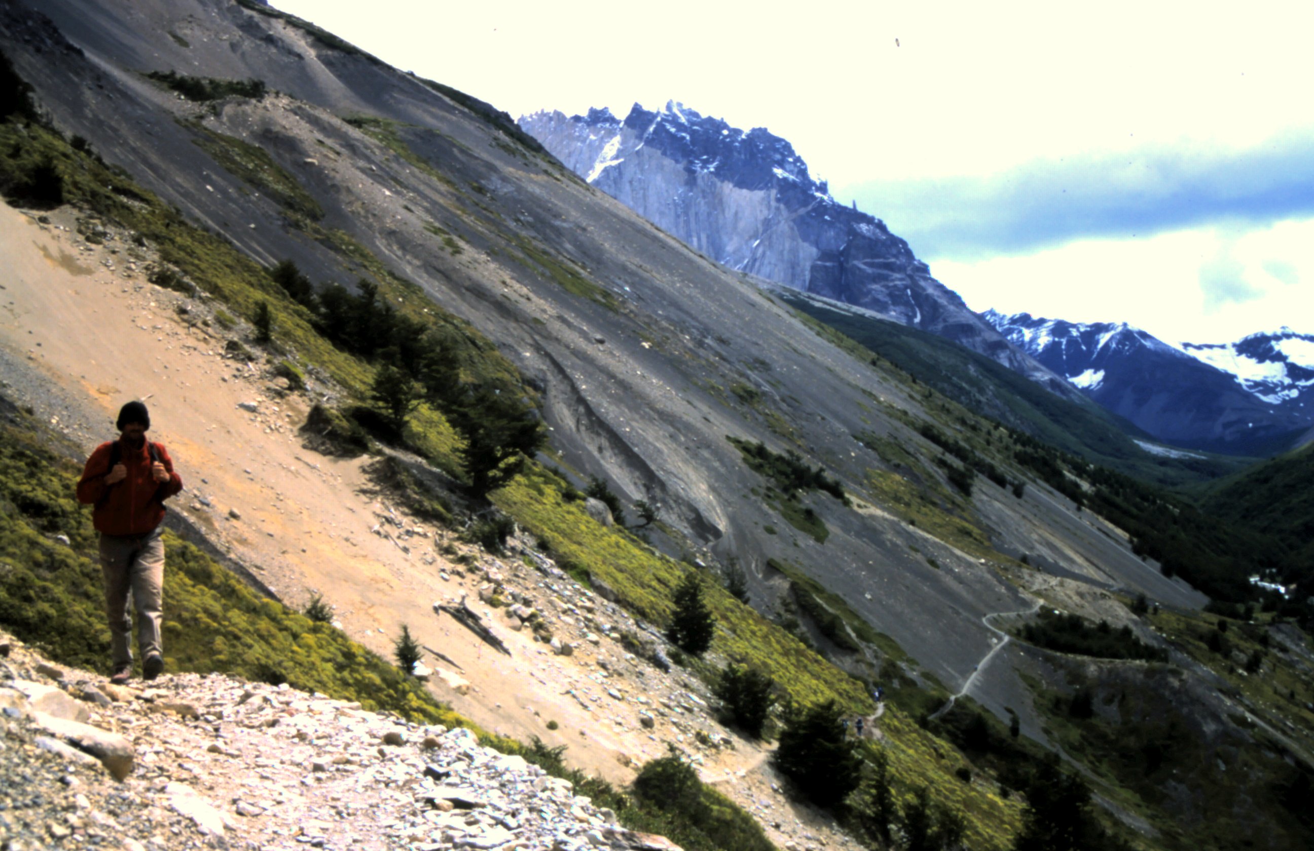
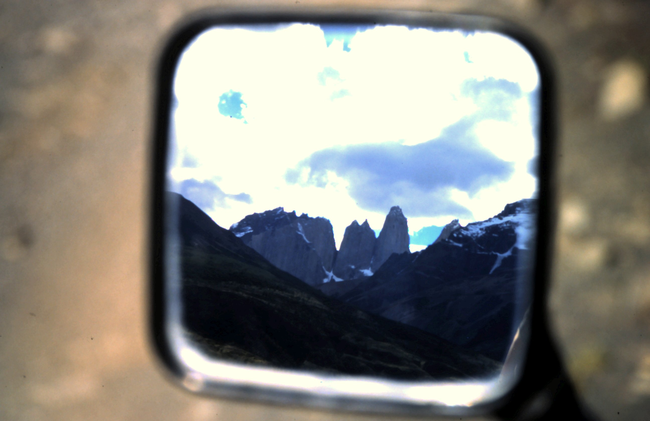
We stay a few days in Torres del Paine NP and do some hikes, before we get back on our Suzuki's.
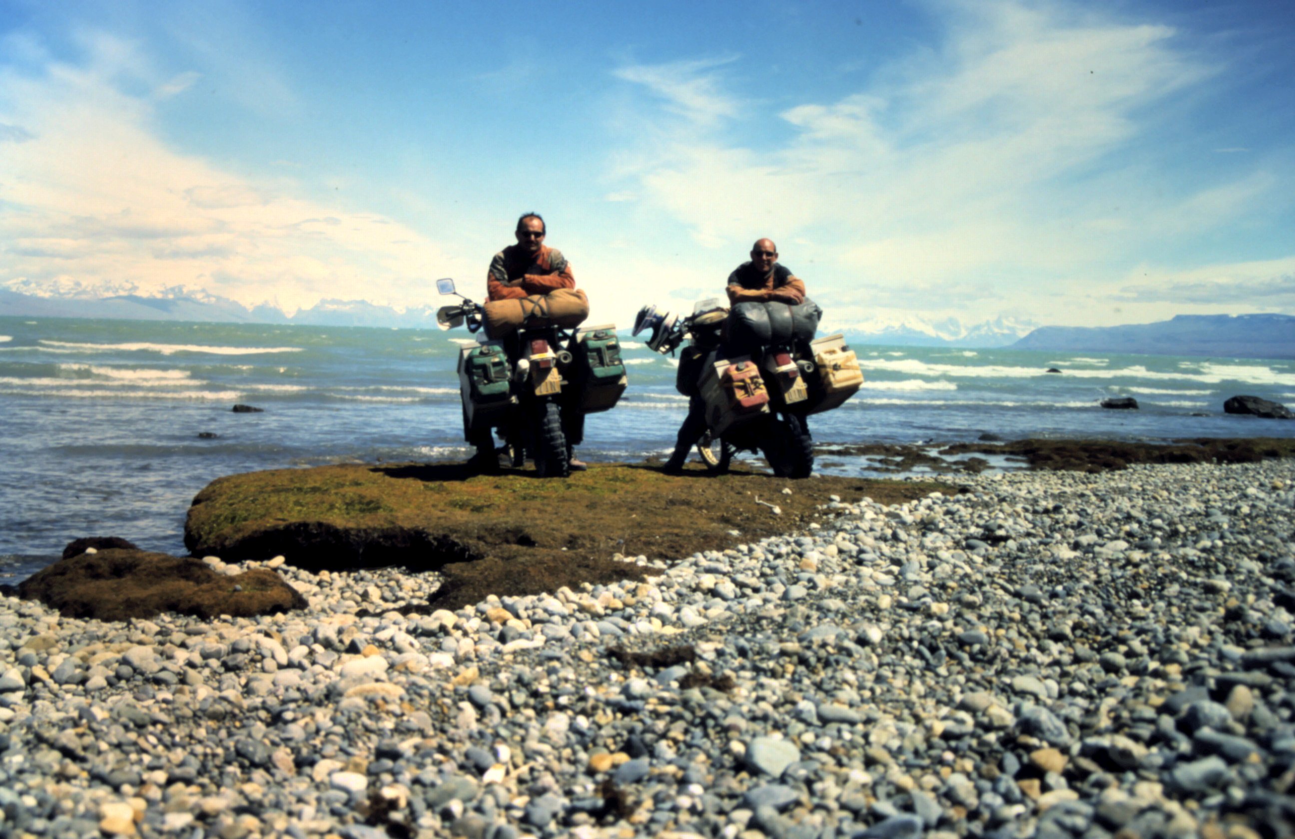
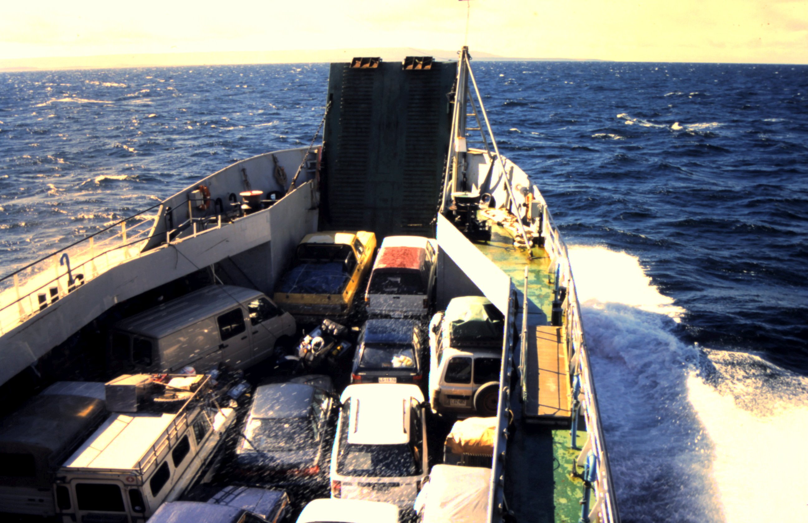
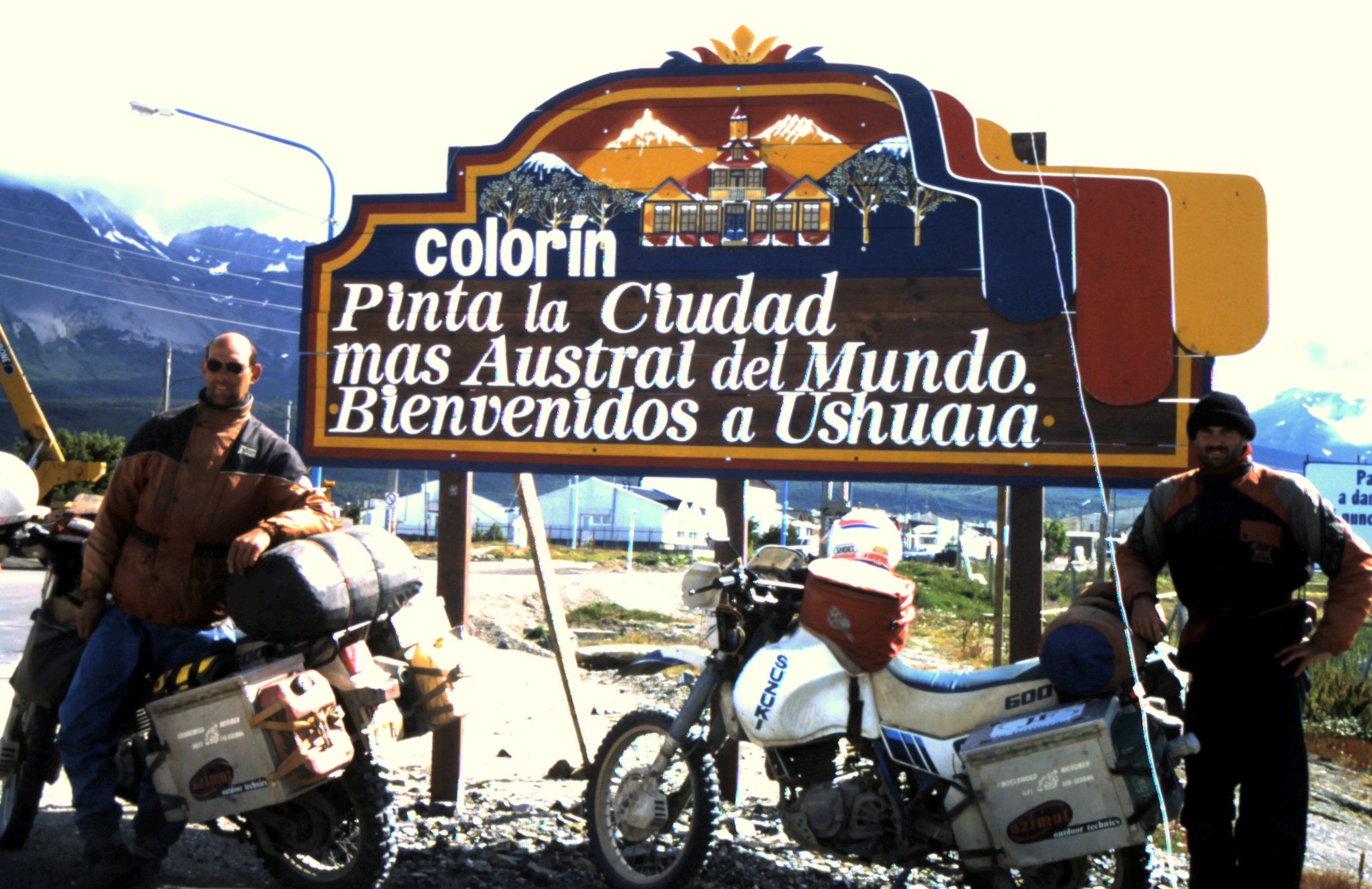
The sea is rough and the ferry swells on the water. A few people have to throw up and we are also glad when we set foot at Tierra del Fuego. Cold wind is torturing our face and snow falls down on the already slippery pass. This is summer in Ushuaia, the most southern city in the world. They call it "Fin del Mundo", End of the World. And we've been there...on our DR600 's.


© copyright BikeBrothers